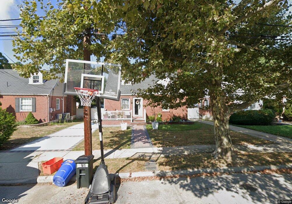
3 Lincoln Rd West Hempstead, NY 11552
Estimated Value: $553,000 - $642,865
--
Bed
1
Bath
1,107
Sq Ft
$540/Sq Ft
Est. Value
About This Home
This home is located at 3 Lincoln Rd, West Hempstead, NY 11552 and is currently estimated at $597,933, approximately $540 per square foot. 3 Lincoln Rd is a home located in Nassau County with nearby schools including Davison Avenue Intermediate School, Maurice W. Downing Primary K-2 School, and Howard T Herber Middle School.
Ownership History
Date
Name
Owned For
Owner Type
Purchase Details
Closed on
Feb 21, 2008
Sold by
Deutsche Bank National Tr
Current Estimated Value
Purchase Details
Closed on
Nov 13, 2007
Sold by
Morelli Ronald J
Purchase Details
Closed on
Aug 23, 2005
Sold by
Dalexis Cynthia
Bought by
Irizarry Felix
Purchase Details
Closed on
Dec 4, 2003
Sold by
Aubourg Gizelle
Bought by
Dalexis Cynthia
Purchase Details
Closed on
Apr 25, 1997
Sold by
First Bank Na
Bought by
Carter Janette and Glenn Thomas
Purchase Details
Closed on
Jan 9, 1997
Create a Home Valuation Report for This Property
The Home Valuation Report is an in-depth analysis detailing your home's value as well as a comparison with similar homes in the area
Home Values in the Area
Average Home Value in this Area
Purchase History
| Date | Buyer | Sale Price | Title Company |
|---|---|---|---|
| -- | $280,000 | -- | |
| -- | -- | -- | |
| -- | $343,125 | -- | |
| Irizarry Felix | $405,000 | -- | |
| Dalexis Cynthia | $306,000 | -- | |
| Carter Janette | $130,000 | -- | |
| -- | $95,000 | -- |
Source: Public Records
Tax History Compared to Growth
Tax History
| Year | Tax Paid | Tax Assessment Tax Assessment Total Assessment is a certain percentage of the fair market value that is determined by local assessors to be the total taxable value of land and additions on the property. | Land | Improvement |
|---|---|---|---|---|
| 2025 | $10,071 | $370 | $155 | $215 |
| 2024 | $3,812 | $370 | $155 | $215 |
| 2023 | $9,736 | $370 | $155 | $215 |
| 2022 | $9,736 | $369 | $155 | $214 |
| 2021 | $13,368 | $349 | $146 | $203 |
| 2020 | $10,637 | $628 | $419 | $209 |
| 2019 | $11,075 | $628 | $419 | $209 |
| 2018 | $10,344 | $628 | $0 | $0 |
| 2017 | $5,565 | $628 | $419 | $209 |
| 2016 | $9,259 | $628 | $419 | $209 |
| 2015 | $3,457 | $628 | $419 | $209 |
| 2014 | $3,457 | $628 | $419 | $209 |
| 2013 | $3,255 | $628 | $419 | $209 |
Source: Public Records
Map
Nearby Homes
- 5 Juliette Rd
- 394 Pinebrook Ave
- 49 Carol St
- 312 Coventry Rd S
- 10 Pinebrook Ave
- 301 Coventry Rd N
- 1024 Mahopac Rd
- 1070 Mahopac Rd
- 461 Pinebrook Ave
- 55 Melvin Ave
- 486 Champlain Ave
- 7 Hopatcong Ave
- 841 Woodfield Rd
- 1095 Pinebrook Ct
- 1090 Pinebrook Ct
- 402 Clinton Ave
- 450 Rhodes Ln
- 0 Rhodes Ln
- 362 Langdon Blvd
- 1025 Ontario Rd