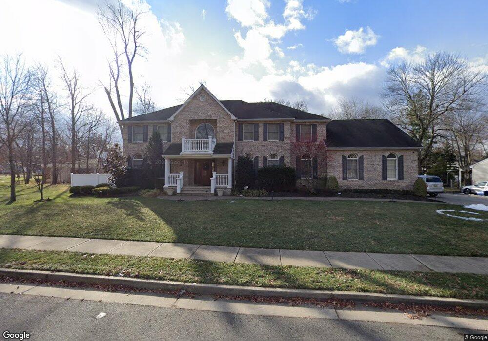
3 Lucinda Ct Edison, NJ 08820
Estimated Value: $1,380,362 - $1,846,000
--
Bed
--
Bath
4,208
Sq Ft
$396/Sq Ft
Est. Value
About This Home
This home is located at 3 Lucinda Ct, Edison, NJ 08820 and is currently estimated at $1,667,454, approximately $396 per square foot. 3 Lucinda Ct is a home located in Middlesex County with nearby schools including Woodbrook Elementary School, Woodrow Wilson Middle School, and J.P. Stevens High School.
Ownership History
Date
Name
Owned For
Owner Type
Purchase Details
Closed on
Sep 1, 2000
Sold by
A Ferraro Const
Bought by
Kasim Nader
Current Estimated Value
Home Financials for this Owner
Home Financials are based on the most recent Mortgage that was taken out on this home.
Original Mortgage
$480,000
Interest Rate
7.83%
Create a Home Valuation Report for This Property
The Home Valuation Report is an in-depth analysis detailing your home's value as well as a comparison with similar homes in the area
Home Values in the Area
Average Home Value in this Area
Purchase History
| Date | Buyer | Sale Price | Title Company |
|---|---|---|---|
| Kasim Nader | $610,000 | -- |
Source: Public Records
Mortgage History
| Date | Status | Borrower | Loan Amount |
|---|---|---|---|
| Previous Owner | Kasim Nader | $480,000 |
Source: Public Records
Tax History Compared to Growth
Tax History
| Year | Tax Paid | Tax Assessment Tax Assessment Total Assessment is a certain percentage of the fair market value that is determined by local assessors to be the total taxable value of land and additions on the property. | Land | Improvement |
|---|---|---|---|---|
| 2025 | $30,717 | $516,000 | $135,600 | $380,400 |
| 2024 | $30,552 | $516,000 | $135,600 | $380,400 |
| 2023 | $30,552 | $516,000 | $135,600 | $380,400 |
| 2022 | $30,563 | $516,000 | $135,600 | $380,400 |
| 2021 | $30,459 | $516,000 | $135,600 | $380,400 |
| 2020 | $33,105 | $566,000 | $135,600 | $430,400 |
| 2019 | $31,854 | $566,000 | $135,600 | $430,400 |
| 2018 | $31,085 | $566,000 | $135,600 | $430,400 |
| 2017 | $30,428 | $566,000 | $135,600 | $430,400 |
| 2016 | $29,862 | $566,000 | $135,600 | $430,400 |
| 2015 | $28,719 | $566,000 | $135,600 | $430,400 |
| 2014 | $27,881 | $566,000 | $135,600 | $430,400 |
Source: Public Records
Map
Nearby Homes
- 454 Plainfield Rd
- 26 Harding Ave
- 64 Richard Rd
- 34 Nottingham Rd
- 33 Nottingham Rd
- 133 Harding Ave
- 6 Sunset Ave
- 4 David Ct
- 16 Stephenville Pkwy
- 10 Milford Ct
- 354 Plainfield Rd
- 8 Stephenville Pkwy
- 3 Anthony Ave
- 8 Montclair Ave
- 3774 Park Ave Unit 1
- 3774 Park Ave
- 21 Williams Rd
- 24 Norton St
- 31 Gate House Ln Unit 31
- 29 Gate House Ln
- 5 Lucinda Ct
- 455 Plainfield Rd
- 7 Lucinda Ct
- 6 Lucinda Ct
- 467 Plainfield Rd
- 31 Harding Ave
- 9 Lucinda Ct
- 473 Plainfield Rd
- 8 Lucinda Ct
- 458 Plainfield Rd
- 450 Plainfield Rd
- 11 Lucinda Ct
- 477 Plainfield Rd
- 33 Chandler Rd
- 448 Plainfield Rd
- 10 Lucinda Ct
- 441 Plainfield Rd
- 44 Homestead Rd
- 468 Plainfield Rd
- 18 Lucinda Ct