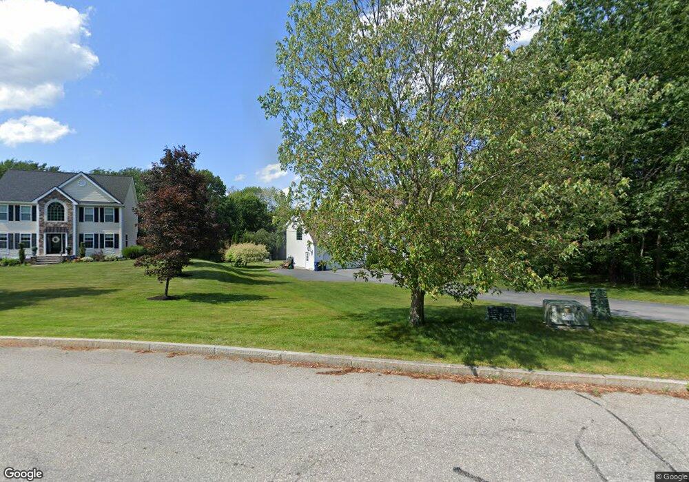
3 Macintosh Dr Dracut, MA 01826
Estimated Value: $838,300 - $1,086,000
3
Beds
3
Baths
2,607
Sq Ft
$355/Sq Ft
Est. Value
About This Home
This home is located at 3 Macintosh Dr, Dracut, MA 01826 and is currently estimated at $925,075, approximately $354 per square foot. 3 Macintosh Dr is a home located in Middlesex County with nearby schools including Joseph A. Campbell Elementary School, Richardson Middle School, and Dracut Senior High School.
Ownership History
Date
Name
Owned For
Owner Type
Purchase Details
Closed on
Nov 26, 2003
Sold by
Appleview Rt
Bought by
Mcintosh Caroline E and Mcintosh Paul M
Current Estimated Value
Home Financials for this Owner
Home Financials are based on the most recent Mortgage that was taken out on this home.
Original Mortgage
$322,700
Outstanding Balance
$151,723
Interest Rate
6.09%
Mortgage Type
Purchase Money Mortgage
Estimated Equity
$773,352
Create a Home Valuation Report for This Property
The Home Valuation Report is an in-depth analysis detailing your home's value as well as a comparison with similar homes in the area
Home Values in the Area
Average Home Value in this Area
Purchase History
| Date | Buyer | Sale Price | Title Company |
|---|---|---|---|
| Mcintosh Caroline E | $497,100 | -- |
Source: Public Records
Mortgage History
| Date | Status | Borrower | Loan Amount |
|---|---|---|---|
| Open | Mcintosh Caroline E | $322,700 |
Source: Public Records
Tax History Compared to Growth
Tax History
| Year | Tax Paid | Tax Assessment Tax Assessment Total Assessment is a certain percentage of the fair market value that is determined by local assessors to be the total taxable value of land and additions on the property. | Land | Improvement |
|---|---|---|---|---|
| 2025 | $7,693 | $760,200 | $255,400 | $504,800 |
| 2024 | $7,500 | $717,700 | $243,400 | $474,300 |
| 2023 | $7,268 | $627,600 | $211,800 | $415,800 |
| 2022 | $7,142 | $581,100 | $192,600 | $388,500 |
| 2021 | $6,995 | $537,700 | $174,900 | $362,800 |
| 2020 | $6,870 | $514,600 | $169,600 | $345,000 |
| 2019 | $6,843 | $497,700 | $161,500 | $336,200 |
| 2018 | $6,831 | $483,100 | $161,500 | $321,600 |
| 2017 | $6,751 | $483,100 | $161,500 | $321,600 |
| 2016 | $6,711 | $452,200 | $162,300 | $289,900 |
| 2015 | $6,444 | $431,600 | $162,300 | $269,300 |
| 2014 | $5,997 | $413,900 | $162,300 | $251,600 |
Source: Public Records
Map
Nearby Homes
- 785 Broadway Rd
- 7 Dadak Dr
- 6 Dadak Dr
- 109 Meadow Creek Dr
- 44 Methuen Rd
- 2 Iris Ave
- 67 Foxhill Ln Unit 67
- 4 Melody Ln
- 67 Lincoln Ln
- 315 Broadway Rd Unit 7
- 241 Broadway Rd Unit 50
- 12 Hayfield Rd
- 321 Old Marsh Hill Rd
- 167 Betty Ann Ln
- 19 Esther Way Unit Lot 10
- 100 Salem Rd
- 20 Esther Way Unit 11
- 121 Old Marsh Hill Rd
- 34 Frontier Dr
- 5 Bailey Rd
- 0LOT 3 Mcintosh Dr
- 0LOT 5 Mcintosh Dr
- 288 Jones Ave
- 11 Macintosh Dr
- 10 Macintosh Dr
- 17 Macintosh Dr
- 257 Jones Ave
- 241 Jones Ave
- 2 Macintosh Dr
- 23 Macintosh Dr
- 8 Cortland Cir
- 291 Jones Ave
- 5 Smith Farm Way
- 14 Spruce Ln
- 20 Macintosh Dr
- 11 Cortland Cir
- 235 Jones Ave
- 310 Jones Ave
- 321 Jones Ave
- 7 Cortland Cir