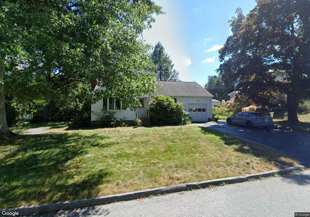
3 Maple Cir Westborough, MA 01581
Estimated Value: $513,000 - $521,000
2
Beds
2
Baths
1,048
Sq Ft
$495/Sq Ft
Est. Value
About This Home
This home is located at 3 Maple Cir, Westborough, MA 01581 and is currently estimated at $518,834, approximately $495 per square foot. 3 Maple Cir is a home located in Worcester County with nearby schools including Westborough High School, Ebridge Montessori School, and Westboro Knowledge Beginnings.
Ownership History
Date
Name
Owned For
Owner Type
Purchase Details
Closed on
Mar 31, 2022
Sold by
Reese David L and Barlow Karen L
Bought by
Simard Kevin
Current Estimated Value
Home Financials for this Owner
Home Financials are based on the most recent Mortgage that was taken out on this home.
Original Mortgage
$296,000
Outstanding Balance
$275,066
Interest Rate
3.92%
Mortgage Type
Purchase Money Mortgage
Estimated Equity
$243,768
Purchase Details
Closed on
May 2, 2006
Sold by
Robak Bertha L and Reese David L
Bought by
Reese David L and Barlow Karen L
Create a Home Valuation Report for This Property
The Home Valuation Report is an in-depth analysis detailing your home's value as well as a comparison with similar homes in the area
Home Values in the Area
Average Home Value in this Area
Purchase History
| Date | Buyer | Sale Price | Title Company |
|---|---|---|---|
| Simard Kevin | $370,000 | None Available | |
| Reese David L | $150,000 | -- | |
| Reese David L | $150,000 | -- |
Source: Public Records
Mortgage History
| Date | Status | Borrower | Loan Amount |
|---|---|---|---|
| Open | Simard Kevin | $296,000 |
Source: Public Records
Tax History
| Year | Tax Paid | Tax Assessment Tax Assessment Total Assessment is a certain percentage of the fair market value that is determined by local assessors to be the total taxable value of land and additions on the property. | Land | Improvement |
|---|---|---|---|---|
| 2025 | $7,910 | $485,600 | $312,300 | $173,300 |
| 2024 | $7,524 | $458,500 | $277,600 | $180,900 |
| 2023 | $7,093 | $421,200 | $261,800 | $159,400 |
| 2022 | $6,688 | $361,700 | $221,400 | $140,300 |
| 2021 | $6,528 | $352,100 | $211,800 | $140,300 |
| 2020 | $6,212 | $339,100 | $194,400 | $144,700 |
| 2019 | $5,853 | $319,300 | $196,400 | $122,900 |
| 2018 | $5,331 | $288,800 | $188,700 | $100,100 |
| 2017 | $5,228 | $293,700 | $188,700 | $105,000 |
| 2016 | $4,961 | $279,200 | $173,300 | $105,900 |
| 2015 | $4,830 | $259,800 | $154,000 | $105,800 |
Source: Public Records
Map
Nearby Homes
- 18 Fairview Rd
- 53 Robin Rd
- 155 Milk St Unit 27
- 155 Milk St Unit 5
- 4203 Peters Farm Way Unit 4203
- 196 -198 Turnpike Rd
- 5 Wessonville Village Way Unit 5
- 7 Mayberry Dr Unit H
- 23 Water St
- 165 Turnpike Rd Unit 7
- 44 South St
- 9 Powder Hill Way Unit 9
- 37 Oneil Dr
- 34 Harvey Ln
- 192 W Main St
- 26 Mount Pleasant St
- 7 Moses Wheelock Ln Unit 7
- 75 Lawrence St
- 2306 Talbot Way Unit 2306
- 49 Arch St Unit 1
Your Personal Tour Guide
Ask me questions while you tour the home.