Estimated Value: $3,454,611 - $4,410,000
7
Beds
4
Baths
3,882
Sq Ft
$1,008/Sq Ft
Est. Value
About This Home
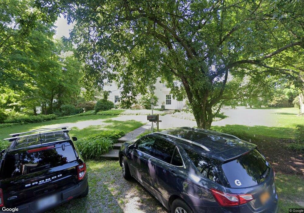
This home is located at 3 Maple Dr, Rye, NY 10580 and is currently estimated at $3,911,403, approximately $1,007 per square foot. 3 Maple Dr is a home located in Westchester County with nearby schools including Rye Middle School, Rye High School, and Resurrection Grammar School.
Ownership History
Date
Name
Owned For
Owner Type
Purchase Details
Closed on
Dec 19, 2024
Sold by
Sams Rebecca Lilly and Brooks Rebecca Lilly
Bought by
Lilly Rebecca E and Sams Howard W
Current Estimated Value
Purchase Details
Closed on
Apr 20, 2012
Sold by
Lilly Eli and Lilly Deborah W
Bought by
Brooks Welles C and Brooks Rebecca L
Home Financials for this Owner
Home Financials are based on the most recent Mortgage that was taken out on this home.
Original Mortgage
$635,000
Interest Rate
4.08%
Mortgage Type
New Conventional
Purchase Details
Closed on
Dec 19, 2011
Sold by
Maple Drive Llc
Bought by
Lilly Ii Eli and Lilly Deborah W
Purchase Details
Closed on
Feb 11, 2011
Sold by
Abernethy Samuel F and Abernethy Carolyn G
Bought by
Maple Drive Llc
Purchase Details
Closed on
Dec 1, 2004
Sold by
The Bank Of New York
Bought by
Abernethy Samuel F and Abernethy Carolyn G
Create a Home Valuation Report for This Property
The Home Valuation Report is an in-depth analysis detailing your home's value as well as a comparison with similar homes in the area
Home Values in the Area
Average Home Value in this Area
Purchase History
| Date | Buyer | Sale Price | Title Company |
|---|---|---|---|
| Lilly Rebecca E | -- | Benchmark Title | |
| Brooks Welles C | $2,550,000 | Benchmark Title | |
| Lilly Ii Eli | -- | Benchmark Title | |
| Maple Drive Llc | $2,550,000 | Benchmark Title | |
| Abernethy Samuel F | -- | First American Title Ins Co |
Source: Public Records
Mortgage History
| Date | Status | Borrower | Loan Amount |
|---|---|---|---|
| Previous Owner | Brooks Welles C | $635,000 |
Source: Public Records
Tax History
| Year | Tax Paid | Tax Assessment Tax Assessment Total Assessment is a certain percentage of the fair market value that is determined by local assessors to be the total taxable value of land and additions on the property. | Land | Improvement |
|---|---|---|---|---|
| 2024 | $51,511 | $42,500 | $11,050 | $31,450 |
| 2023 | $47,419 | $42,500 | $11,050 | $31,450 |
| 2022 | $45,906 | $42,500 | $11,050 | $31,450 |
| 2021 | $45,768 | $42,500 | $11,050 | $31,450 |
| 2020 | $45,199 | $42,500 | $11,050 | $31,450 |
| 2019 | $17,592 | $42,500 | $11,050 | $31,450 |
| 2018 | $31,103 | $40,000 | $11,050 | $28,950 |
| 2017 | $23,070 | $40,000 | $11,050 | $28,950 |
| 2016 | $16,366 | $40,000 | $11,050 | $28,950 |
| 2015 | -- | $40,000 | $11,050 | $28,950 |
| 2014 | -- | $40,000 | $11,050 | $28,950 |
| 2013 | -- | $40,000 | $11,050 | $28,950 |
Source: Public Records
Map
Nearby Homes
- 15 Davis Ave
- 8 Goldwin St
- 44 Grace Church St
- 506 Midland Ave
- 255 Grace Church St
- 162 Kirby Ln
- 66 Milton Rd Unit C41
- 66 Milton Rd Unit G22
- 5 Peck Ave Unit 51B
- 5 Peck Ave Unit 58B
- 13 Kirby Ln
- 35 Peck Ave Unit 35A
- 15 Chestnut St Unit 6A
- 191 Kirby Ln
- 365 Grace Church St
- 20 Chestnut St Unit 3
- 415 Grace Church St
- 99 Central Ave
- 47 Centre St
- 2 Cowles Ave
Your Personal Tour Guide
Ask me questions while you tour the home.