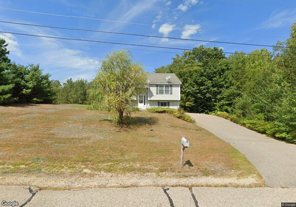
3 Mason Dr Ossipee, NH 03864
Estimated Value: $389,896 - $433,000
3
Beds
2
Baths
1,460
Sq Ft
$283/Sq Ft
Est. Value
About This Home
This home is located at 3 Mason Dr, Ossipee, NH 03864 and is currently estimated at $413,474, approximately $283 per square foot. 3 Mason Dr is a home located in Carroll County with nearby schools including Ossipee Central School, Kingswood Regional Middle School, and Kingswood Regional High School.
Ownership History
Date
Name
Owned For
Owner Type
Purchase Details
Closed on
Aug 27, 2009
Sold by
Buchanan Construction
Bought by
Kitsios Philip
Current Estimated Value
Home Financials for this Owner
Home Financials are based on the most recent Mortgage that was taken out on this home.
Original Mortgage
$140,000
Outstanding Balance
$91,466
Interest Rate
5.17%
Mortgage Type
Purchase Money Mortgage
Estimated Equity
$322,008
Create a Home Valuation Report for This Property
The Home Valuation Report is an in-depth analysis detailing your home's value as well as a comparison with similar homes in the area
Home Values in the Area
Average Home Value in this Area
Purchase History
| Date | Buyer | Sale Price | Title Company |
|---|---|---|---|
| Kitsios Philip | $170,000 | -- |
Source: Public Records
Mortgage History
| Date | Status | Borrower | Loan Amount |
|---|---|---|---|
| Open | Kitsios Philip | $140,000 |
Source: Public Records
Tax History
| Year | Tax Paid | Tax Assessment Tax Assessment Total Assessment is a certain percentage of the fair market value that is determined by local assessors to be the total taxable value of land and additions on the property. | Land | Improvement |
|---|---|---|---|---|
| 2024 | $4,302 | $370,900 | $160,200 | $210,700 |
| 2023 | $3,903 | $376,400 | $165,700 | $210,700 |
| 2022 | $3,430 | $186,600 | $45,600 | $141,000 |
| 2021 | $3,279 | $178,900 | $45,600 | $133,300 |
| 2020 | $3,050 | $178,900 | $45,600 | $133,300 |
| 2019 | $3,061 | $178,900 | $45,600 | $133,300 |
| 2018 | $3,201 | $153,900 | $37,600 | $116,300 |
| 2016 | $2,961 | $153,400 | $37,600 | $115,800 |
| 2015 | $2,812 | $153,400 | $37,600 | $115,800 |
| 2014 | $2,966 | $164,600 | $45,400 | $119,200 |
| 2013 | $2,974 | $171,000 | $45,400 | $125,600 |
Source: Public Records
Map
Nearby Homes
- 4 Hawthorne Rd
- 11 Wellington Ct
- 6 Wellington Ct
- 4 Brookwood Dr
- 954 Route 16
- 35 Margarets Way
- 829 Route 16
- 45 Old Granite Rd
- 5 Woodcrest Dr
- 16 Pollys Crossing Rd
- Map 25-6 Upper Trask Mountain Rd
- 1060 Route 16
- 5 John Terrace
- 190 Circuit Rd
- 225 Pine River Path
- 0 Village Corner Rd Unit 15
- 1185 Route 16
- Map 86 L 5 Haines Hill Rd
- 465 Pine River Rd
- 225 Simon Hill Rd
- 1 Mason Dr
- 4 Mason Dr
- 4 Mason Dr
- 5 Mason Dr
- Lot 2 Mason Dr
- 8 Hawthorne Rd
- 4 Hawthorne Rd Unit Map 135, Lot 011
- 6 Hawthorne Rd
- 3 Hawthorne Rd
- LOT 3 Hawthorne Rd
- 6 Mason Dr
- 6 Mason Dr
- 2 Wellington Ct
- Numerous Hawthorne Rd
- 7 Hawthorne Rd
- 7 Hawthorne Rd Unit Sub Div Plan Lot 26
- 7 Hawthorne Rd Unit Sub Plan Lot 26
- 10 Hawthorne Rd
- 1 Wellington Ct
- 2 Hawthorne Rd
Your Personal Tour Guide
Ask me questions while you tour the home.