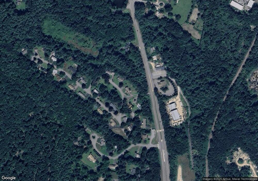
3 Moat Rd Sterling, MA 01564
Estimated Value: $527,000 - $606,764
3
Beds
3
Baths
2,818
Sq Ft
$204/Sq Ft
Est. Value
About This Home
This home is located at 3 Moat Rd, Sterling, MA 01564 and is currently estimated at $574,191, approximately $203 per square foot. 3 Moat Rd is a home located in Worcester County with nearby schools including Wachusett Regional High School and St. Anna Catholic School.
Create a Home Valuation Report for This Property
The Home Valuation Report is an in-depth analysis detailing your home's value as well as a comparison with similar homes in the area
Home Values in the Area
Average Home Value in this Area
Tax History Compared to Growth
Tax History
| Year | Tax Paid | Tax Assessment Tax Assessment Total Assessment is a certain percentage of the fair market value that is determined by local assessors to be the total taxable value of land and additions on the property. | Land | Improvement |
|---|---|---|---|---|
| 2025 | $5,799 | $450,200 | $120,200 | $330,000 |
| 2024 | $5,895 | $442,900 | $120,200 | $322,700 |
| 2023 | $5,546 | $387,800 | $120,200 | $267,600 |
| 2022 | $5,517 | $361,800 | $109,200 | $252,600 |
| 2021 | $5,228 | $327,800 | $109,200 | $218,600 |
| 2020 | $5,213 | $310,100 | $109,200 | $200,900 |
| 2019 | $5,250 | $304,000 | $109,200 | $194,800 |
| 2018 | $5,445 | $306,900 | $110,100 | $196,800 |
| 2017 | $5,414 | $300,300 | $101,800 | $198,500 |
| 2016 | $4,747 | $259,000 | $101,800 | $157,200 |
| 2015 | $5,063 | $292,800 | $109,900 | $182,900 |
| 2014 | $4,957 | $292,800 | $109,900 | $182,900 |
Source: Public Records
Map
Nearby Homes
- 17 Turtle Ln Unit 17
- 2 Turtle Ln Unit 2
- 6A Patriots Way Unit 37
- 121 &125 Flanagan Hill Rd
- 96 Clinton Rd
- 675 Willard St
- 0 Brockelman Rd Unit 73424117
- 2 Keeneland Cir
- 17 Taft Rd
- 1237 Central St Unit 15
- 765 Brockelman Road Lot C
- 50 Indian Ridge Dr
- 5 Pine Woods Ln
- 23 Lantern Ln
- 97 Berrington Rd Unit 97
- 315 Grant St
- 17 Maple St
- 213 Bayberry Hill Ln
- 12 Walden Ct
- 45 Neylon St
