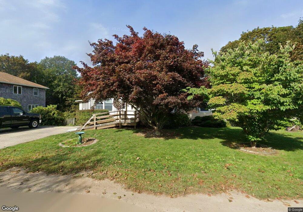
3 Montvale Ave Gloucester, MA 01930
Estimated Value: $650,734 - $868,000
2
Beds
2
Baths
1,354
Sq Ft
$537/Sq Ft
Est. Value
About This Home
This home is located at 3 Montvale Ave, Gloucester, MA 01930 and is currently estimated at $727,434, approximately $537 per square foot. 3 Montvale Ave is a home located in Essex County with nearby schools including Beeman Memorial, Ralph B O'maley Middle School, and Gloucester High School.
Ownership History
Date
Name
Owned For
Owner Type
Purchase Details
Closed on
May 26, 2022
Sold by
Laidlaw Phillip P
Bought by
Phillip P Laidlaw Ft
Current Estimated Value
Purchase Details
Closed on
Mar 26, 2009
Sold by
Laidlaw Robert S Est
Bought by
Laidlaw Phillip P
Home Financials for this Owner
Home Financials are based on the most recent Mortgage that was taken out on this home.
Original Mortgage
$150,000
Interest Rate
5.14%
Mortgage Type
Purchase Money Mortgage
Create a Home Valuation Report for This Property
The Home Valuation Report is an in-depth analysis detailing your home's value as well as a comparison with similar homes in the area
Purchase History
| Date | Buyer | Sale Price | Title Company |
|---|---|---|---|
| Phillip P Laidlaw Ft | -- | None Available | |
| Laidlaw Phillip P | $315,000 | -- |
Source: Public Records
Mortgage History
| Date | Status | Borrower | Loan Amount |
|---|---|---|---|
| Previous Owner | Laidlaw Phillip P | $150,000 |
Source: Public Records
Tax History
| Year | Tax Paid | Tax Assessment Tax Assessment Total Assessment is a certain percentage of the fair market value that is determined by local assessors to be the total taxable value of land and additions on the property. | Land | Improvement |
|---|---|---|---|---|
| 2025 | $5,274 | $542,600 | $189,600 | $353,000 |
| 2024 | $5,137 | $528,000 | $180,600 | $347,400 |
| 2023 | $5,167 | $487,900 | $161,200 | $326,700 |
| 2022 | $4,876 | $415,700 | $140,200 | $275,500 |
| 2021 | $4,987 | $400,900 | $127,500 | $273,400 |
| 2020 | $4,647 | $376,900 | $127,500 | $249,400 |
| 2019 | $4,609 | $363,200 | $127,500 | $235,700 |
| 2018 | $4,553 | $352,100 | $127,500 | $224,600 |
| 2017 | $4,432 | $336,000 | $121,400 | $214,600 |
| 2016 | $4,299 | $315,900 | $126,700 | $189,200 |
| 2015 | $4,233 | $310,100 | $126,700 | $183,400 |
Source: Public Records
Map
Nearby Homes
- 3 Deacon Farm Ln
- 31 Echo Ave
- 13 Honeysuckle Rd
- 2 Breezy Point Rd
- 13 Mystic Ave
- 8 Mystic Ave
- 6 Monroe Ct
- 98 Maplewood Ave
- 9 Cleveland Place
- 672 Washington St
- 40 Sargent St
- 19 Trask St Unit 2
- 15 Harvard St
- 33 Maplewood Ave Unit 310
- 113 Pleasant St
- 20 Beacon St
- 20 Beacon St Unit 2
- 20 Beacon St Unit 1
- 167 Atlantic St
- 15 Mount Vernon St
Your Personal Tour Guide
Ask me questions while you tour the home.