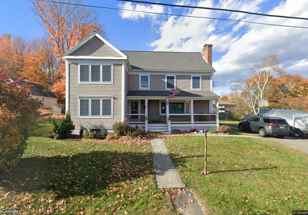
3 Myrtle St Amesbury, MA 01913
Estimated Value: $728,000 - $794,000
4
Beds
3
Baths
2,421
Sq Ft
$313/Sq Ft
Est. Value
About This Home
This home is located at 3 Myrtle St, Amesbury, MA 01913 and is currently estimated at $757,508, approximately $312 per square foot. 3 Myrtle St is a home located in Essex County with nearby schools including Amesbury High School and Amesbury Seventh-Day Adventist School.
Ownership History
Date
Name
Owned For
Owner Type
Purchase Details
Closed on
May 9, 2023
Sold by
Ring Robert B and Ring Shaunna M
Bought by
Ring Ft
Current Estimated Value
Purchase Details
Closed on
Jan 28, 1987
Sold by
Cooper Ralph
Bought by
Ring Robert B
Create a Home Valuation Report for This Property
The Home Valuation Report is an in-depth analysis detailing your home's value as well as a comparison with similar homes in the area
Home Values in the Area
Average Home Value in this Area
Purchase History
| Date | Buyer | Sale Price | Title Company |
|---|---|---|---|
| Ring Ft | -- | None Available | |
| Ring Robert B | $135,000 | -- |
Source: Public Records
Mortgage History
| Date | Status | Borrower | Loan Amount |
|---|---|---|---|
| Previous Owner | Ring Robert B | $150,000 | |
| Previous Owner | Ring Robert B | $61,000 |
Source: Public Records
Tax History Compared to Growth
Tax History
| Year | Tax Paid | Tax Assessment Tax Assessment Total Assessment is a certain percentage of the fair market value that is determined by local assessors to be the total taxable value of land and additions on the property. | Land | Improvement |
|---|---|---|---|---|
| 2025 | $9,279 | $606,500 | $224,000 | $382,500 |
| 2024 | $8,807 | $563,100 | $211,300 | $351,800 |
| 2023 | $8,054 | $492,900 | $183,700 | $309,200 |
| 2022 | $7,704 | $435,500 | $159,700 | $275,800 |
| 2021 | $7,205 | $394,800 | $123,500 | $271,300 |
| 2020 | $6,515 | $379,200 | $118,800 | $260,400 |
| 2019 | $6,604 | $359,500 | $118,800 | $240,700 |
| 2018 | $6,346 | $334,200 | $113,100 | $221,100 |
| 2017 | $6,510 | $326,300 | $113,100 | $213,200 |
| 2016 | $6,398 | $315,500 | $113,100 | $202,400 |
| 2015 | $6,277 | $305,600 | $113,100 | $192,500 |
| 2014 | $6,106 | $291,200 | $113,100 | $178,100 |
Source: Public Records
Map
Nearby Homes
- 3 Brown Ave Unit 75
- 1 Brown Ave Unit 3-80
- 57 Clinton St
- 3 Glenwood St
- 1 Stacey Ln
- 2 Locke Hill Ln
- 105 Market St Unit B
- 103 Market St Unit A
- 103 Market St Unit B
- 101 Market St Unit B
- 101 Market St Unit A
- 21 Woodman Rd
- 25 Cedar St Unit 4
- 25 Cedar St Unit 7
- 48 Orchard St
- 100 Congress St
- 7 Melrose St
- 53 Market St
- 17 Linwood Place
- 97 Elm St
- 200 Market St
- 5 Myrtle St
- 1 Myrtle St
- 198 Market St
- 20 Glenwood St
- 7 Myrtle St
- 199 Market St
- 22 Glenwood St
- 1 Brown Avenue - Bldg 3 Unit 75
- 3 Brown Ave Unit 96
- 3 Brown Ave Unit 95
- 3 Brown Ave Unit 94
- 3 Brown Ave Unit 93
- 3 Brown Ave Unit 92
- 3 Brown Ave Unit 90
- 3 Brown Ave Unit 89
- 3 Brown Ave Unit 88
- 3 Brown Ave Unit 87
- 3 Brown Ave Unit 86
- 3 Brown Ave Unit 85