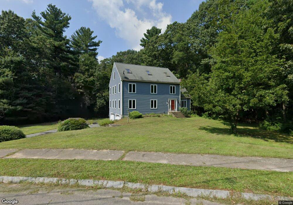
3 Oak Tree Ln Franklin, MA 02038
Estimated Value: $860,000 - $987,000
3
Beds
3
Baths
2,604
Sq Ft
$348/Sq Ft
Est. Value
About This Home
This home is located at 3 Oak Tree Ln, Franklin, MA 02038 and is currently estimated at $905,478, approximately $347 per square foot. 3 Oak Tree Ln is a home located in Norfolk County with nearby schools including John F. Kennedy Memorial School, Horace Mann Middle School, and Franklin High School.
Ownership History
Date
Name
Owned For
Owner Type
Purchase Details
Closed on
Nov 30, 2020
Sold by
Bisanti Christopher and Bisanti Patricia
Bought by
Bauer Patricia
Current Estimated Value
Home Financials for this Owner
Home Financials are based on the most recent Mortgage that was taken out on this home.
Original Mortgage
$397,000
Outstanding Balance
$274,478
Interest Rate
2.8%
Mortgage Type
New Conventional
Estimated Equity
$631,000
Create a Home Valuation Report for This Property
The Home Valuation Report is an in-depth analysis detailing your home's value as well as a comparison with similar homes in the area
Purchase History
We collect this data history from publicly available records. To have your information removed, we recommend requesting removal directly through your county’s website.
| Date | Buyer | Sale Price | Title Company |
|---|---|---|---|
| Bauer Patricia | -- | None Available |
Source: Public Records
Mortgage History
We collect this data history from publicly available records. To have your information removed, we recommend requesting removal directly through your county’s website.
| Date | Status | Borrower | Loan Amount |
|---|---|---|---|
| Open | Bauer Patricia | $397,000 |
Source: Public Records
Tax History
| Year | Tax Paid | Tax Assessment Tax Assessment Total Assessment is a certain percentage of the fair market value that is determined by local assessors to be the total taxable value of land and additions on the property. | Land | Improvement |
|---|---|---|---|---|
| 2025 | $8,622 | $742,000 | $330,200 | $411,800 |
| 2024 | $8,261 | $700,700 | $330,200 | $370,500 |
| 2023 | $8,268 | $657,200 | $286,700 | $370,500 |
| 2022 | $7,631 | $543,100 | $217,200 | $325,900 |
| 2021 | $7,225 | $493,200 | $241,400 | $251,800 |
| 2020 | $6,741 | $464,600 | $225,500 | $239,100 |
| 2019 | $6,694 | $456,600 | $217,500 | $239,100 |
| 2018 | $6,260 | $427,300 | $213,500 | $213,800 |
| 2017 | $6,026 | $413,300 | $199,500 | $213,800 |
| 2016 | $6,015 | $414,800 | $202,200 | $212,600 |
| 2015 | $6,078 | $409,600 | $197,000 | $212,600 |
| 2014 | $5,569 | $385,400 | $172,800 | $212,600 |
Source: Public Records
Map
Nearby Homes
- 2 Downingwood Dr
- 6 Hancock Rd
- 9 Catherine Ave
- 41 Kimberlee Ave
- 67 Bridle Path
- 18 Anchorage Rd
- 6 Edmunds Way
- 90 Oliver Pond Cir Unit 43
- 6 Teresa Cir
- 89 Oliver Pond Cir Unit 4
- 81 Oliver Pond Cir Unit 8
- 77 Oliver Pond Cir Unit 10
- 25 Brookview Rd
- 2412 Franklin Crossing Rd Unit 2412
- 1811 Franklin Crossing Rd Unit 1811
- 119 Highwood Dr
- 10 Cooper Dr
- 38 Highwood Dr
- 455 Hartford Ave
- 23 Highwood Dr
Your Personal Tour Guide
Ask me questions while you tour the home.