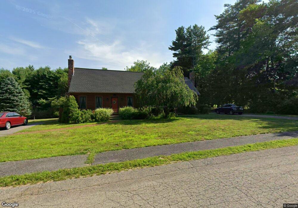
3 Packet Landing Unit A Pembroke, MA 02359
Estimated Value: $449,000 - $489,000
3
Beds
2
Baths
1,260
Sq Ft
$373/Sq Ft
Est. Value
About This Home
This home is located at 3 Packet Landing Unit A, Pembroke, MA 02359 and is currently estimated at $470,110, approximately $373 per square foot. 3 Packet Landing Unit A is a home located in Plymouth County with nearby schools including Pembroke High School, Cadence Academy Preschool - Hanover, and Cardinal Cushing Centers.
Ownership History
Date
Name
Owned For
Owner Type
Purchase Details
Closed on
Nov 23, 2015
Sold by
Kearley Jonathan and Kearley Anne
Bought by
Nason Ellen A
Current Estimated Value
Home Financials for this Owner
Home Financials are based on the most recent Mortgage that was taken out on this home.
Original Mortgage
$165,000
Outstanding Balance
$129,780
Interest Rate
3.79%
Mortgage Type
New Conventional
Estimated Equity
$340,330
Purchase Details
Closed on
Oct 30, 2009
Sold by
Jackson Jonathan A
Bought by
Kearley Jonathan and Bickford Anne
Home Financials for this Owner
Home Financials are based on the most recent Mortgage that was taken out on this home.
Original Mortgage
$250,381
Interest Rate
5.06%
Mortgage Type
Purchase Money Mortgage
Create a Home Valuation Report for This Property
The Home Valuation Report is an in-depth analysis detailing your home's value as well as a comparison with similar homes in the area
Home Values in the Area
Average Home Value in this Area
Purchase History
| Date | Buyer | Sale Price | Title Company |
|---|---|---|---|
| Nason Ellen A | $279,000 | -- | |
| Kearley Jonathan | $255,000 | -- |
Source: Public Records
Mortgage History
| Date | Status | Borrower | Loan Amount |
|---|---|---|---|
| Open | Nason Ellen A | $165,000 | |
| Previous Owner | Kearley Jonathan | $250,381 |
Source: Public Records
Tax History Compared to Growth
Tax History
| Year | Tax Paid | Tax Assessment Tax Assessment Total Assessment is a certain percentage of the fair market value that is determined by local assessors to be the total taxable value of land and additions on the property. | Land | Improvement |
|---|---|---|---|---|
| 2025 | $4,868 | $405,000 | $0 | $405,000 |
| 2024 | $4,665 | $387,800 | $0 | $387,800 |
| 2023 | $4,656 | $366,000 | $0 | $366,000 |
| 2022 | $4,552 | $321,700 | $0 | $321,700 |
| 2021 | $4,167 | $285,800 | $0 | $285,800 |
| 2020 | $4,350 | $300,200 | $0 | $300,200 |
| 2019 | $4,113 | $281,700 | $0 | $281,700 |
| 2018 | $3,834 | $257,500 | $0 | $257,500 |
| 2017 | $3,758 | $248,900 | $0 | $248,900 |
| 2016 | $3,267 | $214,100 | $0 | $214,100 |
| 2015 | $3,171 | $215,100 | $0 | $215,100 |
Source: Public Records
Map
Nearby Homes
- 21 Union St
- 21 Chowdermarch St
- 218 Schoosett St
- 5 Royal Dane Dr Unit 46
- 5 Royal Dane Dr Unit 45
- 10 Penstock Ln
- 451 School St Unit 5-2
- 451 School St Unit 3-4
- 55 Shipyard Ln
- 34 Canonchet Trail
- 172 Washington St
- 261 Washington St
- 10 Shrine Rd
- 20 Meadow Brook Rd
- 56 Wiltshire Ln
- 26 Church St
- 899 Old Main Street Extension
- 2 Proprietors Dr Unit 23
- 33 Barker Square Dr Unit 33
- 1 Valley Path
- 3 Packet Landing Unit B
- 3 Packet Landing Unit 3B
- 3 Packet Landing
- 7 Packet Landing Unit B
- 7 Packet Landing Unit A
- 8 Packet Landing Unit B
- 8 Packet Landing Unit A
- 8 Packet Landing
- 13 Packet Landing Unit B
- 13 Packet Landing Unit A
- 16 Packet Landing Unit B
- 16 Packet Landing Unit A
- 16 Packet Landing Unit 16B
- 19 Packet Landing Unit B
- 19 Packet Landing Unit A
- 19 Packet Landing
- 19 Packet Landing Unit 19A
- 22 Packet Landing Unit B
- 22 Packet Landing Unit A
- 22 Packet Landing Unit 6