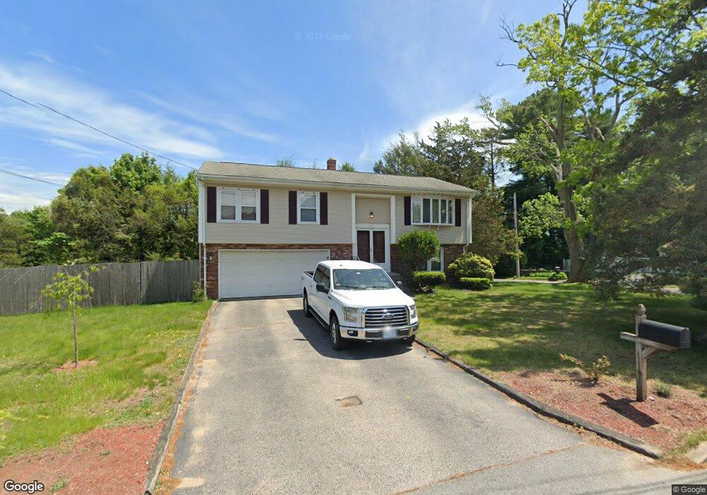
3 Patrick Quinn Dr West Warwick, RI 02893
West Warwick Centre NeighborhoodEstimated Value: $434,000 - $473,570
3
Beds
2
Baths
1,150
Sq Ft
$393/Sq Ft
Est. Value
About This Home
This home is located at 3 Patrick Quinn Dr, West Warwick, RI 02893 and is currently estimated at $451,643, approximately $392 per square foot. 3 Patrick Quinn Dr is a home located in Kent County with nearby schools including West Warwick High School and Islamic School of Rhode Island.
Ownership History
Date
Name
Owned For
Owner Type
Purchase Details
Closed on
May 31, 2022
Sold by
Caroll Kaila A
Bought by
Kratchel Keith
Current Estimated Value
Home Financials for this Owner
Home Financials are based on the most recent Mortgage that was taken out on this home.
Original Mortgage
$360,000
Outstanding Balance
$341,058
Interest Rate
5.11%
Mortgage Type
Purchase Money Mortgage
Estimated Equity
$110,585
Purchase Details
Closed on
Jul 29, 2016
Sold by
Stephen A Lamb
Bought by
Nicolia Kaila A
Home Financials for this Owner
Home Financials are based on the most recent Mortgage that was taken out on this home.
Original Mortgage
$235,600
Interest Rate
3.48%
Purchase Details
Closed on
May 10, 2016
Sold by
Lamb Stephen
Bought by
South Properties Llc
Purchase Details
Closed on
Dec 7, 2012
Sold by
Lamb Lawrence S and Lamb Barbara A
Bought by
Lamb Stephen A and Lamb Kelly A
Home Financials for this Owner
Home Financials are based on the most recent Mortgage that was taken out on this home.
Original Mortgage
$160,000
Interest Rate
3.46%
Mortgage Type
New Conventional
Create a Home Valuation Report for This Property
The Home Valuation Report is an in-depth analysis detailing your home's value as well as a comparison with similar homes in the area
Home Values in the Area
Average Home Value in this Area
Purchase History
| Date | Buyer | Sale Price | Title Company |
|---|---|---|---|
| Kratchel Keith | $390,000 | None Available | |
| Nicolia Kaila A | -- | -- | |
| South Properties Llc | -- | -- | |
| Lamb Stephen A | $200,000 | -- |
Source: Public Records
Mortgage History
| Date | Status | Borrower | Loan Amount |
|---|---|---|---|
| Open | Kratchel Keith | $360,000 | |
| Previous Owner | Lamb Stephen A | $235,600 | |
| Previous Owner | Lamb Stephen A | -- | |
| Previous Owner | Lamb Stephen A | $160,000 |
Source: Public Records
Tax History Compared to Growth
Tax History
| Year | Tax Paid | Tax Assessment Tax Assessment Total Assessment is a certain percentage of the fair market value that is determined by local assessors to be the total taxable value of land and additions on the property. | Land | Improvement |
|---|---|---|---|---|
| 2025 | $4,911 | $343,700 | $78,000 | $265,700 |
| 2024 | $4,874 | $260,800 | $63,000 | $197,800 |
| 2023 | $4,778 | $260,800 | $63,000 | $197,800 |
| 2022 | $4,705 | $260,800 | $63,000 | $197,800 |
| 2021 | $4,952 | $215,300 | $50,400 | $164,900 |
| 2020 | $4,952 | $215,300 | $50,400 | $164,900 |
| 2019 | $6,313 | $215,300 | $50,400 | $164,900 |
| 2018 | $4,168 | $161,700 | $45,300 | $116,400 |
| 2017 | $4,254 | $161,700 | $45,300 | $116,400 |
| 2016 | $3,767 | $145,800 | $45,300 | $100,500 |
| 2015 | $3,642 | $140,300 | $45,300 | $95,000 |
| 2014 | $3,562 | $140,300 | $45,300 | $95,000 |
Source: Public Records
Map
Nearby Homes
- 3 Patrick h Quinn Dr
- 112 Woodside Ave
- 105 Woodside Ave
- 4 Patrick h Quinn Dr
- 120 Woodside Ave
- 11 Patrick h Quinn Dr
- 12 Downing Dr
- 129 Woodside Ave
- 0 Woodside Ave
- 12 Patrick h Quinn Dr
- 100 Woodside Ave
- 19 Patrick h Quinn Dr
- 99 Woodside Ave
- 28 Patrick h Quinn Dr
- 130 Woodside Ave
- 36 Downing Dr
- 35 Peters Ln
- 137 Woodside Ave
- 27 Downing Dr
- 11 Downing Dr