3 Peaceful Ln Wolfeboro, NH 03894
Estimated Value: $910,225 - $1,105,000
5
Beds
5
Baths
4,681
Sq Ft
$216/Sq Ft
Est. Value
About This Home
This home is located at 3 Peaceful Ln, Wolfeboro, NH 03894 and is currently estimated at $1,012,556, approximately $216 per square foot. 3 Peaceful Ln is a home located in Carroll County with nearby schools including Crescent Lake School, Carpenter Elementary School, and Kingswood Regional Middle School.
Ownership History
Date
Name
Owned For
Owner Type
Purchase Details
Closed on
Sep 15, 2017
Sold by
Levesque Ft
Bought by
M Stephen E
Current Estimated Value
Home Financials for this Owner
Home Financials are based on the most recent Mortgage that was taken out on this home.
Original Mortgage
$400,000
Outstanding Balance
$334,297
Interest Rate
3.93%
Estimated Equity
$678,259
Purchase Details
Closed on
Jul 3, 2017
Sold by
Levesque Nancy
Bought by
Levesque Ft
Create a Home Valuation Report for This Property
The Home Valuation Report is an in-depth analysis detailing your home's value as well as a comparison with similar homes in the area
Home Values in the Area
Average Home Value in this Area
Purchase History
| Date | Buyer | Sale Price | Title Company |
|---|---|---|---|
| M Stephen E | $500,000 | -- | |
| Levesque Ft | -- | -- |
Source: Public Records
Mortgage History
| Date | Status | Borrower | Loan Amount |
|---|---|---|---|
| Open | M Stephen E | $400,000 |
Source: Public Records
Tax History
| Year | Tax Paid | Tax Assessment Tax Assessment Total Assessment is a certain percentage of the fair market value that is determined by local assessors to be the total taxable value of land and additions on the property. | Land | Improvement |
|---|---|---|---|---|
| 2024 | $9,036 | $568,300 | $85,200 | $483,100 |
| 2023 | $8,348 | $568,300 | $85,200 | $483,100 |
| 2022 | $7,513 | $568,300 | $85,200 | $483,100 |
| 2021 | $7,769 | $568,300 | $85,200 | $483,100 |
| 2020 | $7,263 | $558,300 | $85,200 | $473,100 |
| 2019 | $7,256 | $458,100 | $76,400 | $381,700 |
| 2018 | $7,211 | $456,400 | $76,400 | $380,000 |
| 2017 | $6,837 | $456,400 | $76,400 | $380,000 |
| 2016 | $6,677 | $456,400 | $76,400 | $380,000 |
| 2015 | $6,367 | $456,400 | $76,400 | $380,000 |
| 2014 | $5,415 | $416,200 | $59,900 | $356,300 |
| 2013 | $5,340 | $416,200 | $59,900 | $356,300 |
Source: Public Records
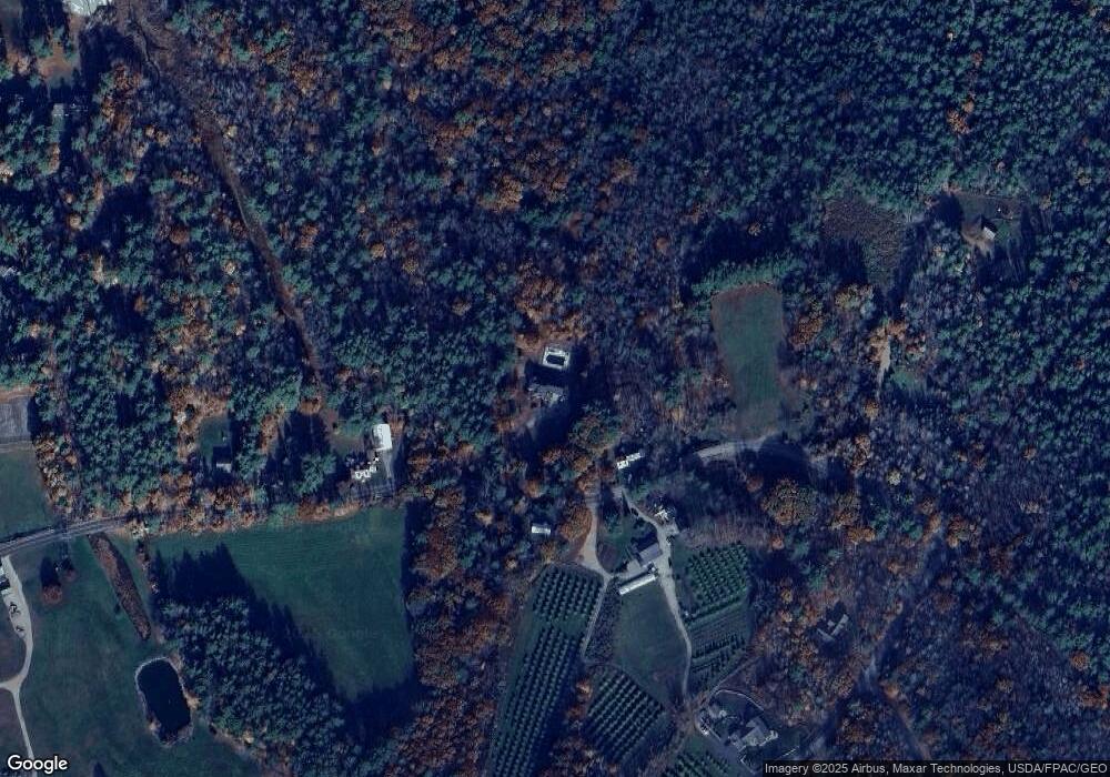
Map
Nearby Homes
- 42 Point Breeze Rd
- 26 Orchards Rd
- 0 Camp Rd Unit 14
- 408 Governor Wentworth Hwy Unit 44
- 116 Middleton Rd
- 557 Wentworth Rd
- 11 Mountain West Dr
- 92 Canopache Rd
- 42 Kings Pine Rd
- 337 S Main St Unit Interval week 4 Janu
- 26-14 Winnipesaukee Dr
- 267-23 Winnipesaukee Dr
- 19 Cotton Mountain Rd
- 21 Goodrich Rd
- 0 Interlaken Dr Unit 55
- 172 Center St
- 000 Garmish Dr Unit 143
- 000 Garmish Dr
- 00 Innsbruck Dr Unit 121
- 11 N Line Rd
- 564 Pleasant Valley Rd
- 557 Pleasant Valley Rd
- 538 Pleasant Valley Rd
- 563 Pleasant Valley Rd
- 11 Peaceful Ln
- 580 Pleasant Valley Rd
- 526 Pleasant Valley Rd
- 581 Pleasant Valley Rd
- 524 Pleasant Valley Rd
- 3 Orchards Rd
- 5 Orchards Rd Unit 5
- 57 Point O Pines Rd
- 2 Orchards Rd Unit 2
- Lot 3 Orchards Rd
- 59 Point O Pines Rd
- 65 Point O Pines Rd
- 25 Townsend Shore Rd
- 71 Point O Pines Rd
- 4 Orchards Rd
- 4 Orchards Rd
Your Personal Tour Guide
Ask me questions while you tour the home.