3 Phillips Pond Rd Natick, MA 01760
Estimated Value: $956,000 - $1,599,000
2
Beds
3
Baths
2,139
Sq Ft
$596/Sq Ft
Est. Value
About This Home
This home is located at 3 Phillips Pond Rd, Natick, MA 01760 and is currently estimated at $1,273,831, approximately $595 per square foot. 3 Phillips Pond Rd is a home located in Middlesex County with nearby schools including Natick High School, Memorial Elementary School, and J F Kennedy Middle School.
Ownership History
Date
Name
Owned For
Owner Type
Purchase Details
Closed on
Oct 26, 2021
Sold by
Graves D Hewitt 1992 Ft
Bought by
Halloran Colleen
Current Estimated Value
Purchase Details
Closed on
Mar 15, 2019
Sold by
Hewitt Laura
Bought by
Graves D Hewitt 1992 Ft
Purchase Details
Closed on
Jun 5, 2018
Sold by
3 Philiips Pond Rt
Bought by
Hewitt Laura
Purchase Details
Closed on
Jun 29, 2011
Sold by
Wheeler Daniel G and Wheeler Carmen H
Bought by
3 Phillips Pond Rt and Jensen David J
Purchase Details
Closed on
Oct 4, 1991
Sold by
English Nancy J
Bought by
Wheeler Daniel G
Create a Home Valuation Report for This Property
The Home Valuation Report is an in-depth analysis detailing your home's value as well as a comparison with similar homes in the area
Home Values in the Area
Average Home Value in this Area
Purchase History
| Date | Buyer | Sale Price | Title Company |
|---|---|---|---|
| Halloran Colleen | $1,195,000 | None Available | |
| Graves D Hewitt 1992 Ft | $1,138,193 | -- | |
| Hewitt Laura | $1,045,000 | -- | |
| 3 Phillips Pond Rt | $565,000 | -- | |
| Wheeler Daniel G | $540,000 | -- | |
| Wheeler Daniel G | $540,000 | -- |
Source: Public Records
Mortgage History
| Date | Status | Borrower | Loan Amount |
|---|---|---|---|
| Previous Owner | Wheeler Daniel G | $300,000 | |
| Previous Owner | Wheeler Daniel G | $201,000 |
Source: Public Records
Tax History
| Year | Tax Paid | Tax Assessment Tax Assessment Total Assessment is a certain percentage of the fair market value that is determined by local assessors to be the total taxable value of land and additions on the property. | Land | Improvement |
|---|---|---|---|---|
| 2025 | $13,267 | $1,109,300 | $0 | $1,109,300 |
| 2024 | $12,866 | $1,049,400 | $0 | $1,049,400 |
| 2023 | $12,485 | $987,700 | $0 | $987,700 |
| 2022 | $11,842 | $887,700 | $0 | $887,700 |
| 2021 | $11,612 | $853,200 | $0 | $853,200 |
| 2020 | $10,808 | $794,100 | $0 | $794,100 |
| 2019 | $9,578 | $753,600 | $0 | $753,600 |
| 2018 | $8,933 | $684,500 | $0 | $684,500 |
| 2017 | $7,665 | $568,200 | $0 | $568,200 |
| 2016 | $7,565 | $557,500 | $0 | $557,500 |
| 2015 | $7,409 | $536,100 | $0 | $536,100 |
Source: Public Records
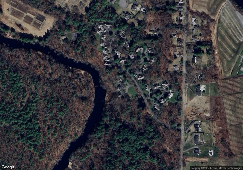
Map
Nearby Homes
- 1 Phillips Pond Rd
- 22 Phillips Pond Rd
- 23 Phillips Pond Rd
- 21 Phillips Pond Rd
- 21 Phillips Pond Rd Unit 21,21
- 16 Phillips Pond Rd
- 5 Phillips Pond Rd
- 5 Phillips Pond Rd Unit 5
- 24 Phillips Pond Rd
- 17 Phillips Pond Rd
- 6 Phillips Pond Rd
- 15 Phillips Pond Rd
- 15 Phillips Pond Rd Unit 15
- 20 Phillips Pond Rd
- 28 Phillips Pond Rd
- 7 Phillips Pond Rd
- 25 Phillips Pond Rd
- 14 Phillips Pond Rd
- 27 Phillips Pond Rd
- 19 Phillips Pond Rd
Your Personal Tour Guide
Ask me questions while you tour the home.