3 Pilots Landing Aquinnah, MA 02535
Aquinnah NeighborhoodEstimated Value: $1,615,000 - $3,717,000
3
Beds
3
Baths
1,161
Sq Ft
$2,059/Sq Ft
Est. Value
About This Home
This home is located at 3 Pilots Landing, Aquinnah, MA 02535 and is currently estimated at $2,390,596, approximately $2,059 per square foot. 3 Pilots Landing is a home located in Dukes County with nearby schools including Martha's Vineyard Regional High School.
Ownership History
Date
Name
Owned For
Owner Type
Purchase Details
Closed on
Feb 11, 2020
Sold by
Johnson Mamie L
Bought by
Mamie L Johnson Ret and Johnson
Current Estimated Value
Purchase Details
Closed on
Nov 23, 2005
Sold by
Hubert Benjamin B and Hubert Lucile B
Bought by
Hubert Benjamin B and Hubert B
Create a Home Valuation Report for This Property
The Home Valuation Report is an in-depth analysis detailing your home's value as well as a comparison with similar homes in the area
Home Values in the Area
Average Home Value in this Area
Purchase History
| Date | Buyer | Sale Price | Title Company |
|---|---|---|---|
| Mamie L Johnson Ret | -- | None Available | |
| Mamie L Johnson Ret | -- | None Available | |
| Hubert Benjamin B | $150,000 | -- | |
| Hubert Benjamin B | $150,000 | -- |
Source: Public Records
Mortgage History
| Date | Status | Borrower | Loan Amount |
|---|---|---|---|
| Previous Owner | Hubert Benjamin B | $150,000 |
Source: Public Records
Tax History Compared to Growth
Tax History
| Year | Tax Paid | Tax Assessment Tax Assessment Total Assessment is a certain percentage of the fair market value that is determined by local assessors to be the total taxable value of land and additions on the property. | Land | Improvement |
|---|---|---|---|---|
| 2025 | $11,318 | $1,674,300 | $1,410,000 | $264,300 |
| 2024 | $10,377 | $1,621,400 | $1,367,900 | $253,500 |
| 2023 | $9,891 | $1,621,400 | $1,367,900 | $253,500 |
| 2022 | $9,520 | $1,518,400 | $1,311,800 | $206,600 |
| 2021 | $8,708 | $1,362,700 | $1,170,000 | $192,700 |
| 2020 | $8,490 | $1,246,700 | $1,064,100 | $182,600 |
| 2019 | $7,630 | $1,246,700 | $1,064,100 | $182,600 |
| 2018 | $7,097 | $1,295,000 | $1,112,400 | $182,600 |
| 2017 | $7,208 | $1,310,500 | $1,136,900 | $173,600 |
| 2016 | $7,069 | $1,321,300 | $1,136,900 | $184,400 |
| 2015 | $5,657 | $1,104,800 | $920,400 | $184,400 |
| 2014 | $5,145 | $1,097,100 | $920,400 | $176,700 |
Source: Public Records
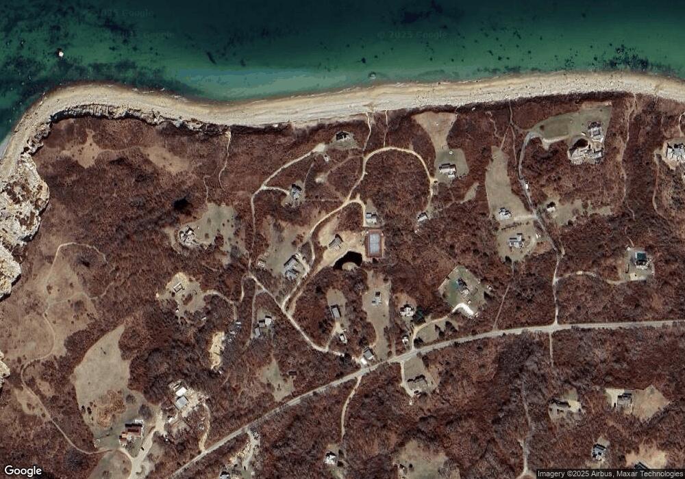
Map
Nearby Homes
- 0 Moshup Trail Unit 32500206
- 0 Moshup Trail Unit 27 & 146 43498
- 00 Old Field Rd
- 382 Lighthouse Rd
- 453 Lighthouse Rd
- 00 Oxcart Rd Unit 28
- 6 Church St
- 00 Moshup Trail Unit 6
- 00 Moshup Trail Unit 7-5
- 00 Moshup Trail
- 12 Lobsterville Rd
- 654 Lighthouse Rd
- 14 Ridge Rd Unit 94
- 4 Nomans Watch Rd
- 9 Moshup Trail
- 7 Clay Pit Ln
- 16 Shotnaigher Ln
- 64 Squibnocket Farm Rd
- 18 Spruce Gate Rd
- 4 Cedar Ln Unit 2.2
- 1 Pilots Way
- 11 Pilots Landing
- 11 Pilots Landing
- 2 Pilots Way
- 2 Pilots Way Unit 1
- 75 Lighthouse Rd
- 1 Pilots Landing
- 102 Lighthouse Rd
- 2 Pilots Landing
- 2 Pilots Landing Rd
- 84 Lighthouse Rd
- 3 Pilots Way
- 71 Lighthouse Rd
- 122 Lighthouse Rd
- 6 Pilots Landing
- 97 Lighthouse Rd
- 4 Pilots Landing
- 2 Mariners View Ln
- 136 Lighthouse Rd
- 58 Lighthouse Rd