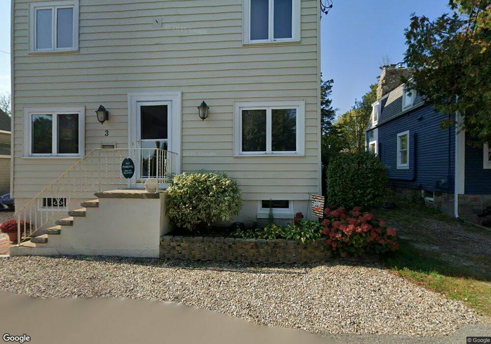
3 Riverside Rd Gloucester, MA 01930
Riverview NeighborhoodEstimated Value: $754,000 - $1,002,000
3
Beds
3
Baths
2,418
Sq Ft
$372/Sq Ft
Est. Value
About This Home
This home is located at 3 Riverside Rd, Gloucester, MA 01930 and is currently estimated at $899,951, approximately $372 per square foot. 3 Riverside Rd is a home located in Essex County with nearby schools including Beeman Memorial, Ralph B O'maley Middle School, and Gloucester High School.
Ownership History
Date
Name
Owned For
Owner Type
Purchase Details
Closed on
Apr 27, 2011
Sold by
Carr Dona-Kay
Bought by
Cdk Rt
Current Estimated Value
Purchase Details
Closed on
Apr 30, 2003
Sold by
Hazel Lesley S and Hazel-Carr Lesley
Bought by
Carr Donald P
Create a Home Valuation Report for This Property
The Home Valuation Report is an in-depth analysis detailing your home's value as well as a comparison with similar homes in the area
Home Values in the Area
Average Home Value in this Area
Purchase History
| Date | Buyer | Sale Price | Title Company |
|---|---|---|---|
| Cdk Rt | -- | -- | |
| Carr Donald P | $303,750 | -- |
Source: Public Records
Mortgage History
| Date | Status | Borrower | Loan Amount |
|---|---|---|---|
| Previous Owner | Carr Donald P | $35,000 | |
| Previous Owner | Carr Donald P | $35,000 | |
| Previous Owner | Carr Donald P | $25,000 |
Source: Public Records
Tax History
| Year | Tax Paid | Tax Assessment Tax Assessment Total Assessment is a certain percentage of the fair market value that is determined by local assessors to be the total taxable value of land and additions on the property. | Land | Improvement |
|---|---|---|---|---|
| 2025 | $7,592 | $781,100 | $208,400 | $572,700 |
| 2024 | $7,570 | $778,000 | $198,500 | $579,500 |
| 2023 | $7,232 | $682,900 | $177,200 | $505,700 |
| 2022 | $6,956 | $593,000 | $150,600 | $442,400 |
| 2021 | $6,710 | $539,400 | $137,000 | $402,400 |
| 2020 | $6,757 | $548,000 | $137,000 | $411,000 |
| 2019 | $6,453 | $508,500 | $137,000 | $371,500 |
| 2018 | $6,225 | $481,400 | $137,000 | $344,400 |
| 2017 | $6,025 | $456,800 | $130,400 | $326,400 |
| 2016 | $5,801 | $426,200 | $130,900 | $295,300 |
| 2015 | $5,504 | $403,200 | $130,900 | $272,300 |
Source: Public Records
Map
Nearby Homes
- 2 Breezy Point Rd
- 672 Washington St
- 13 Honeysuckle Rd
- 3 Deacon Farm Ln
- 167 Atlantic St
- 178 Atlantic St
- 226 Atlantic St
- 31 Echo Ave
- 136 Leonard St
- 3 Rockland St
- 13 Mystic Ave
- 8 Mystic Ave
- 4 Ciaramitaro Ct
- 6 Monroe Ct
- 98 Maplewood Ave
- 9 Cleveland Place
- 12 Arthur St
- 40 Sargent St
- 19 Trask St Unit 2
- 15 Harvard St
- 7 Riverside Rd
- 145 Wheeler St
- 9 Riverside Rd
- 143 Wheeler St
- 2 Riverside Rd
- 4 Riverside Rd
- 6 Riverside Rd
- 13 Riverside Rd
- 150 Wheeler St
- 154 Wheeler St
- 8 Riverside Rd
- 144 Wheeler St
- 156 Wheeler St
- 17 Riverside Rd
- 17 Riverside Rd
- 160 Wheeler St
- 162 Wheeler St
- 10 Riverside Rd
- 158 Wheeler St
- 4 Breezy Point Rd
Your Personal Tour Guide
Ask me questions while you tour the home.