3 Roconan Dr Mendham, NJ 07945
Estimated Value: $2,410,000 - $3,619,000
--
Bed
--
Bath
10,649
Sq Ft
$274/Sq Ft
Est. Value
About This Home
This home is located at 3 Roconan Dr, Mendham, NJ 07945 and is currently estimated at $2,918,250, approximately $274 per square foot. 3 Roconan Dr is a home located in Morris County with nearby schools including Mendham Township Elementary School, Mendham Township Middle School, and West Morris Mendham High School.
Ownership History
Date
Name
Owned For
Owner Type
Purchase Details
Closed on
Dec 14, 2011
Sold by
Financial Planning & Research Property C
Bought by
Woody Damien and Woody Nicole
Current Estimated Value
Home Financials for this Owner
Home Financials are based on the most recent Mortgage that was taken out on this home.
Original Mortgage
$650,000
Outstanding Balance
$413,959
Interest Rate
2.62%
Mortgage Type
New Conventional
Estimated Equity
$2,504,291
Purchase Details
Closed on
Oct 21, 2010
Sold by
Schechter Patricia
Bought by
Financial Planning & Research Property C
Home Financials for this Owner
Home Financials are based on the most recent Mortgage that was taken out on this home.
Original Mortgage
$1,250,000
Interest Rate
8%
Mortgage Type
Seller Take Back
Create a Home Valuation Report for This Property
The Home Valuation Report is an in-depth analysis detailing your home's value as well as a comparison with similar homes in the area
Home Values in the Area
Average Home Value in this Area
Purchase History
| Date | Buyer | Sale Price | Title Company |
|---|---|---|---|
| Woody Damien | $1,300,000 | Multiple | |
| Financial Planning & Research Property C | $1,750,000 | None Available |
Source: Public Records
Mortgage History
| Date | Status | Borrower | Loan Amount |
|---|---|---|---|
| Open | Woody Damien | $650,000 | |
| Previous Owner | Financial Planning & Research Property C | $1,250,000 |
Source: Public Records
Tax History Compared to Growth
Tax History
| Year | Tax Paid | Tax Assessment Tax Assessment Total Assessment is a certain percentage of the fair market value that is determined by local assessors to be the total taxable value of land and additions on the property. | Land | Improvement |
|---|---|---|---|---|
| 2025 | $55,916 | $3,074,200 | $713,300 | $2,360,900 |
| 2024 | $55,916 | $2,879,300 | $629,800 | $2,249,500 |
| 2023 | $53,882 | $2,579,300 | $454,900 | $2,124,400 |
| 2022 | $46,473 | $2,503,500 | $439,200 | $2,064,300 |
| 2021 | $46,473 | $2,100,000 | $622,700 | $1,477,300 |
| 2020 | $46,179 | $2,100,000 | $622,700 | $1,477,300 |
| 2019 | $45,318 | $2,100,000 | $622,700 | $1,477,300 |
| 2018 | $44,457 | $2,100,000 | $622,700 | $1,477,300 |
| 2017 | $43,428 | $2,100,000 | $622,700 | $1,477,300 |
| 2016 | $43,365 | $2,100,000 | $622,700 | $1,477,300 |
| 2015 | $42,567 | $2,100,000 | $622,700 | $1,477,300 |
| 2014 | $41,601 | $2,100,000 | $622,700 | $1,477,300 |
Source: Public Records
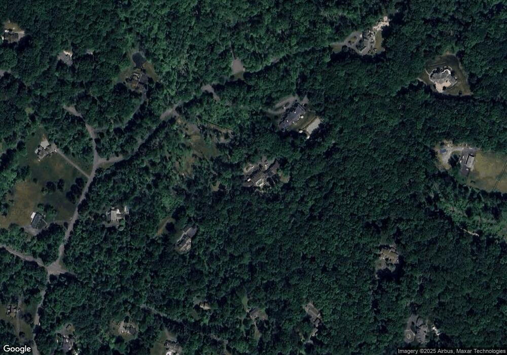
Map
Nearby Homes
- 65 South Rd
- 239B Mountainside Rd
- 2 Stone House Rd
- 34 Old Farmstead Rd
- 7 Burnett Dr
- 2 Wexford Ct
- 5 Calais Rd
- 7 Calais Rd
- 38 Old Farmstead Rd
- 33 Calais Rd
- 89 Mountain Ave
- 190 North Rd
- 559 State Route 24
- 4 Krista Ct
- 14 Linda Terrace
- 372 Dover Chester Rd
- 48 W Main St
- 23 Aberdeen Dr
- 2 Quimby Ln
- 56 Mountainside Rd