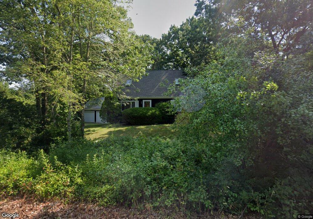
3 Sarah Sherman Ln Marion, MA 02738
Marion Center NeighborhoodEstimated Value: $563,031 - $637,000
3
Beds
2
Baths
1,591
Sq Ft
$382/Sq Ft
Est. Value
About This Home
This home is located at 3 Sarah Sherman Ln, Marion, MA 02738 and is currently estimated at $607,508, approximately $381 per square foot. 3 Sarah Sherman Ln is a home located in Plymouth County with nearby schools including Old Rochester Regional High School and Tabor Academy.
Ownership History
Date
Name
Owned For
Owner Type
Purchase Details
Closed on
May 15, 1997
Sold by
Briggs Sherman E and Brigg Alice M
Bought by
Chace Brian D and Chace Elizabeth M
Current Estimated Value
Home Financials for this Owner
Home Financials are based on the most recent Mortgage that was taken out on this home.
Original Mortgage
$116,000
Outstanding Balance
$16,053
Interest Rate
8.12%
Mortgage Type
Purchase Money Mortgage
Estimated Equity
$591,455
Create a Home Valuation Report for This Property
The Home Valuation Report is an in-depth analysis detailing your home's value as well as a comparison with similar homes in the area
Home Values in the Area
Average Home Value in this Area
Purchase History
| Date | Buyer | Sale Price | Title Company |
|---|---|---|---|
| Chace Brian D | $146,000 | -- |
Source: Public Records
Mortgage History
| Date | Status | Borrower | Loan Amount |
|---|---|---|---|
| Open | Chace Brian D | $116,000 |
Source: Public Records
Tax History Compared to Growth
Tax History
| Year | Tax Paid | Tax Assessment Tax Assessment Total Assessment is a certain percentage of the fair market value that is determined by local assessors to be the total taxable value of land and additions on the property. | Land | Improvement |
|---|---|---|---|---|
| 2025 | $4,298 | $461,200 | $177,700 | $283,500 |
| 2024 | $3,984 | $430,200 | $155,400 | $274,800 |
| 2023 | $4,466 | $473,100 | $222,100 | $251,000 |
| 2022 | $4,130 | $380,600 | $136,600 | $244,000 |
| 2021 | $4,046 | $357,400 | $116,400 | $241,000 |
| 2020 | $4,047 | $345,900 | $116,400 | $229,500 |
| 2019 | $3,815 | $345,900 | $116,400 | $229,500 |
| 2018 | $3,523 | $307,700 | $114,700 | $193,000 |
| 2017 | $3,409 | $298,800 | $114,700 | $184,100 |
| 2016 | $3,379 | $298,800 | $114,700 | $184,100 |
| 2015 | $3,584 | $322,600 | $121,300 | $201,300 |
Source: Public Records
Map
Nearby Homes
- 63 Oakdale Ave
- 324 Front St Unit 4
- 324 Front St Unit 2
- 4 Rebecca Dr
- 25 Hammetts Cove Rd
- 174 Wareham Rd
- 929 Point Rd
- 459 Mill St
- 4 Edwards Bridge Rd
- 611 Delano Rd
- 982 Point Rd
- 2 Quelle Ln
- 13 Fieldstone Ln
- 17 Fieldstone Ln
- 13 Cottage St
- 143 Cross Neck Rd
- 8 Vine St
- 10 Briggs Ln
- 82 Dexter Rd
- 87 Dexter Rd
- 5 Sarah Sherman Ln
- 56 Oakdale Ave
- 32 Oakdale Ave
- 36 Oakdale Ave
- 62 Oakdale Ave
- 62 Oakdale Ave Unit 1
- 50 Oakdale Ave
- 34 Oakdale Ave
- 2 Sarah Sherman Ln
- 4 Sarah Sherman Ln
- 6 Sarah Sherman Ln
- 44 Oakdale Ave
- 28 Oakdale Ave
- 59 Oakdale Ave
- 57 Oakdale Ave
- 53 Oakdale Ave
- 61 Oakdale Ave
- 22 Oakdale Ave
- 18 Oakdale Ave
- 15 Oakdale Ave