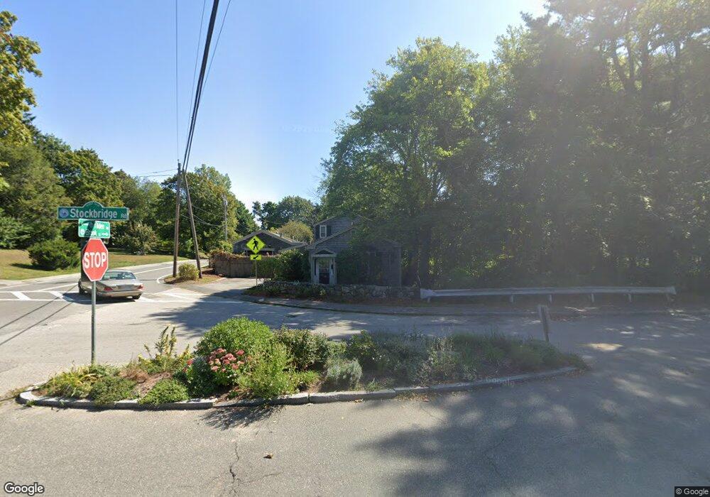
3 Stockbridge Rd Scituate, MA 02066
Estimated Value: $960,787 - $1,194,000
3
Beds
2
Baths
1,400
Sq Ft
$773/Sq Ft
Est. Value
About This Home
This home is located at 3 Stockbridge Rd, Scituate, MA 02066 and is currently estimated at $1,081,697, approximately $772 per square foot. 3 Stockbridge Rd is a home located in Plymouth County with nearby schools including Jenkins Elementary School, Lester J. Gates Middle School, and Scituate High School.
Ownership History
Date
Name
Owned For
Owner Type
Purchase Details
Closed on
Jun 2, 2021
Sold by
Gilberti Enrico A
Bought by
Gilberti Lt
Current Estimated Value
Purchase Details
Closed on
Jan 21, 2021
Sold by
Gilberti Irt
Bought by
Gilberti Enrico A
Purchase Details
Closed on
Dec 2, 2009
Sold by
Gilberti Janet G and Gilberti Enrico A
Bought by
Gilberti Enrico A
Create a Home Valuation Report for This Property
The Home Valuation Report is an in-depth analysis detailing your home's value as well as a comparison with similar homes in the area
Home Values in the Area
Average Home Value in this Area
Purchase History
| Date | Buyer | Sale Price | Title Company |
|---|---|---|---|
| Gilberti Lt | -- | None Available | |
| Gilberti Enrico A | -- | None Available | |
| Gilberti Enrico A | -- | -- |
Source: Public Records
Mortgage History
| Date | Status | Borrower | Loan Amount |
|---|---|---|---|
| Previous Owner | Gilberti Enrico A | $191,750 | |
| Previous Owner | Gilberti Enrico A | $60,000 | |
| Previous Owner | Gilberti Enrico A | $75,000 |
Source: Public Records
Tax History Compared to Growth
Tax History
| Year | Tax Paid | Tax Assessment Tax Assessment Total Assessment is a certain percentage of the fair market value that is determined by local assessors to be the total taxable value of land and additions on the property. | Land | Improvement |
|---|---|---|---|---|
| 2025 | $7,387 | $739,400 | $579,400 | $160,000 |
| 2024 | $7,175 | $692,600 | $526,800 | $165,800 |
| 2023 | $5,993 | $600,500 | $444,700 | $155,800 |
| 2022 | $5,993 | $474,900 | $337,200 | $137,700 |
| 2021 | $5,912 | $443,500 | $321,100 | $122,400 |
| 2020 | $5,819 | $431,000 | $308,800 | $122,200 |
| 2019 | $5,635 | $410,100 | $289,500 | $120,600 |
| 2018 | $5,708 | $409,200 | $285,600 | $123,600 |
| 2017 | $5,457 | $387,300 | $263,700 | $123,600 |
| 2016 | $4,955 | $350,400 | $230,700 | $119,700 |
| 2015 | $4,446 | $339,400 | $219,700 | $119,700 |
Source: Public Records
Map
Nearby Homes
- 76 A Brook St
- 76 A Brook St Unit 1
- 50 First Parish Rd
- 74 Tilden Rd
- 91 Front St Unit 106
- 59 Greenfield Ln
- 111 Elm St
- 115 Elm St
- 32 Barker Rd Unit 3
- 23 Sunset Rd
- 3 Grace Way Unit 3
- 1 Grace Way Unit 1
- 29 Ladds Way Unit 29
- 10 Benjamin Ln Unit 10
- 105 Turner Rd
- 19 Ford Place Unit 3
- 19 Ford Place Unit 1
- 23 Oceanside Dr
- 22 Kings Way
- 17 Old Oaken Bucket Rd
- 9 Stockbridge Rd
- 90 Brook St
- 6 Stockbridge Rd
- 77 Brook St
- 86 Brook St
- 86 Brook St Unit A
- 3 Tilden Rd
- 80 Brook St
- 17 Stockbridge Rd
- 10 Stockbridge Rd
- 78 Brook St
- 2 Tilden Rd
- 20 Carrie Litchfield Ln Unit 1
- 20 Carrie Litchfield Ln
- 20 Carrie Litchfield Ln Unit 201
- 74 Brook St
- 18 Carrie Litchfield Ln
- 18 Tilden Rd
- 92 First Parish Rd
- 76 First Parish Rd