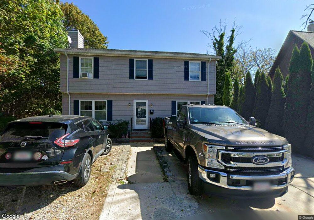
3 Swinson Way Gloucester, MA 01930
East Gloucester NeighborhoodEstimated Value: $779,164 - $1,094,000
3
Beds
3
Baths
1,800
Sq Ft
$515/Sq Ft
Est. Value
About This Home
This home is located at 3 Swinson Way, Gloucester, MA 01930 and is currently estimated at $926,291, approximately $514 per square foot. 3 Swinson Way is a home located in Essex County with nearby schools including East Gloucester Elementary School, Ralph B O'maley Middle School, and Gloucester High School.
Ownership History
Date
Name
Owned For
Owner Type
Purchase Details
Closed on
Dec 21, 2004
Sold by
Byard Estella V and Byard George O
Bought by
Byard Mark S
Current Estimated Value
Home Financials for this Owner
Home Financials are based on the most recent Mortgage that was taken out on this home.
Original Mortgage
$282,000
Outstanding Balance
$140,756
Interest Rate
5.68%
Mortgage Type
Purchase Money Mortgage
Estimated Equity
$785,535
Create a Home Valuation Report for This Property
The Home Valuation Report is an in-depth analysis detailing your home's value as well as a comparison with similar homes in the area
Home Values in the Area
Average Home Value in this Area
Purchase History
| Date | Buyer | Sale Price | Title Company |
|---|---|---|---|
| Byard Mark S | $75,000 | -- |
Source: Public Records
Mortgage History
| Date | Status | Borrower | Loan Amount |
|---|---|---|---|
| Open | Byard Mark S | $282,000 |
Source: Public Records
Tax History
| Year | Tax Paid | Tax Assessment Tax Assessment Total Assessment is a certain percentage of the fair market value that is determined by local assessors to be the total taxable value of land and additions on the property. | Land | Improvement |
|---|---|---|---|---|
| 2025 | $6,634 | $682,500 | $206,100 | $476,400 |
| 2024 | $6,649 | $683,400 | $196,300 | $487,100 |
| 2023 | $6,361 | $600,700 | $175,300 | $425,400 |
| 2022 | $6,117 | $521,500 | $149,000 | $372,500 |
| 2021 | $5,902 | $474,400 | $135,400 | $339,000 |
| 2020 | $5,938 | $481,600 | $135,400 | $346,200 |
| 2019 | $5,655 | $445,600 | $135,400 | $310,200 |
| 2018 | $5,437 | $420,500 | $135,400 | $285,100 |
| 2017 | $5,267 | $399,300 | $129,000 | $270,300 |
| 2016 | $5,063 | $372,000 | $129,400 | $242,600 |
| 2015 | $4,824 | $353,400 | $129,400 | $224,000 |
Source: Public Records
Map
Nearby Homes
- 10 Seaview Rd
- 1 Wonson St
- 197 E Main St Unit 1
- 73 Rocky Neck Ave Unit 2
- 15 Raven Ln Unit 15
- 60 Rocky Neck Ave Unit 202
- 11 Ocean View Dr
- 191 Main St Unit 3
- 191 Main St Unit 2A
- 87 Atlantic Rd Unit 2
- 3 Mondello Square
- 139A Prospect St
- 35 Middle St Unit 4
- 33 Middle St
- 15 Mount Vernon St
- 36 Eastern Ave
- 5 Wise Place
- 113 Pleasant St
- 50 Warner St
- 33 Maplewood Ave Unit 310
Your Personal Tour Guide
Ask me questions while you tour the home.