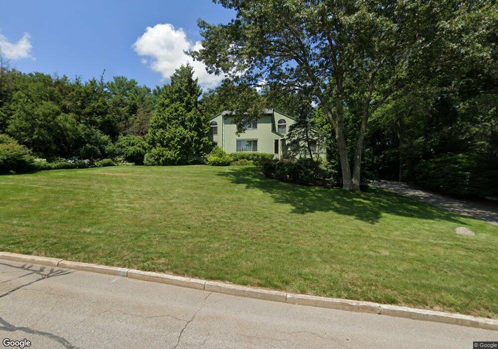
3 Sylvia Ln Lincoln, RI 02865
Central Lincoln NeighborhoodEstimated Value: $1,003,567 - $1,064,000
4
Beds
4
Baths
3,627
Sq Ft
$287/Sq Ft
Est. Value
About This Home
This home is located at 3 Sylvia Ln, Lincoln, RI 02865 and is currently estimated at $1,039,392, approximately $286 per square foot. 3 Sylvia Ln is a home located in Providence County with nearby schools including Lincoln Senior High School, Blackstone Valley Prep Upper Elementary School, and Blackstone Valley Prep Elementary School 1.
Ownership History
Date
Name
Owned For
Owner Type
Purchase Details
Closed on
Dec 14, 1995
Sold by
Dakake Dennis C and Dakake Susan
Bought by
Coats Wayne E and Coats Carol
Current Estimated Value
Home Financials for this Owner
Home Financials are based on the most recent Mortgage that was taken out on this home.
Original Mortgage
$115,000
Outstanding Balance
$2,366
Interest Rate
7.43%
Mortgage Type
Purchase Money Mortgage
Estimated Equity
$1,037,026
Create a Home Valuation Report for This Property
The Home Valuation Report is an in-depth analysis detailing your home's value as well as a comparison with similar homes in the area
Home Values in the Area
Average Home Value in this Area
Purchase History
| Date | Buyer | Sale Price | Title Company |
|---|---|---|---|
| Coats Wayne E | $288,000 | -- |
Source: Public Records
Mortgage History
| Date | Status | Borrower | Loan Amount |
|---|---|---|---|
| Open | Coats Wayne E | $57,000 | |
| Open | Coats Wayne E | $115,000 |
Source: Public Records
Tax History Compared to Growth
Tax History
| Year | Tax Paid | Tax Assessment Tax Assessment Total Assessment is a certain percentage of the fair market value that is determined by local assessors to be the total taxable value of land and additions on the property. | Land | Improvement |
|---|---|---|---|---|
| 2025 | $12,252 | $906,200 | $308,500 | $597,700 |
| 2024 | $13,970 | $805,200 | $293,700 | $511,500 |
| 2023 | $13,278 | $805,200 | $293,700 | $511,500 |
| 2022 | $13,246 | $805,200 | $293,700 | $511,500 |
| 2021 | $11,916 | $587,300 | $237,300 | $350,000 |
| 2020 | $11,828 | $587,300 | $237,300 | $350,000 |
| 2018 | $10,069 | $450,500 | $163,000 | $287,500 |
| 2017 | $9,866 | $450,500 | $163,000 | $287,500 |
| 2016 | $9,731 | $450,500 | $163,000 | $287,500 |
| 2015 | $10,796 | $458,800 | $158,200 | $300,600 |
| 2014 | $10,814 | $458,800 | $158,200 | $300,600 |
Source: Public Records
Map
Nearby Homes
- 4 Pine Tree Ln
- 1796 Old Louisquisset Pike
- 151 Old Jenckes Hill Rd
- 25 Suffolk Way
- 1688 Old Louisquisset Pike
- 24 Greenwood Ln
- 38 Harris Ave
- 41 Breakneck Hill Rd Unit 41
- 1004 Great Rd
- 145 Jenckes Hill Rd
- 8 Princess Pine Rd
- 4 Tattersall Dr
- 0 Twin River Rd Unit 1396973
- 0 Twin River Rd Unit 1396968
- 35 E Lantern Rd
- 55 Wilbur Rd
- 1 Victoria Dr
- 1 W Farm Rd
- 1904 Old Louisquisset Pike
- 34 Dexter Rock Rd