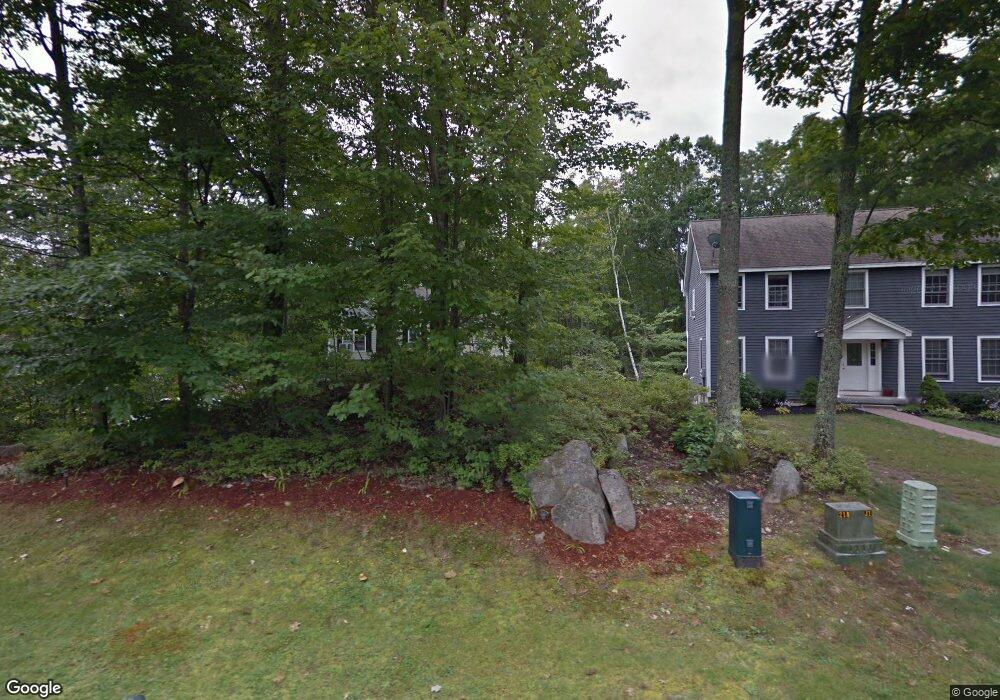
3 Tay Rd Hooksett, NH 03106
Estimated Value: $537,810 - $628,000
3
Beds
3
Baths
1,560
Sq Ft
$371/Sq Ft
Est. Value
About This Home
This home is located at 3 Tay Rd, Hooksett, NH 03106 and is currently estimated at $578,453, approximately $370 per square foot. 3 Tay Rd is a home located in Merrimack County with nearby schools including Fred C. Underhill School, Hooksett Memorial School, and David R. Cawley Middle School.
Ownership History
Date
Name
Owned For
Owner Type
Purchase Details
Closed on
Nov 17, 2004
Sold by
Lakkundi Srikant
Bought by
Fieldhouse-Thomas Jane A
Current Estimated Value
Purchase Details
Closed on
Apr 30, 1999
Sold by
Doherty Stephen J and Doherty Debra A
Bought by
Lakkundi Srikant
Create a Home Valuation Report for This Property
The Home Valuation Report is an in-depth analysis detailing your home's value as well as a comparison with similar homes in the area
Home Values in the Area
Average Home Value in this Area
Purchase History
| Date | Buyer | Sale Price | Title Company |
|---|---|---|---|
| Fieldhouse-Thomas Jane A | $275,000 | -- | |
| Lakkundi Srikant | $150,000 | -- |
Source: Public Records
Mortgage History
| Date | Status | Borrower | Loan Amount |
|---|---|---|---|
| Open | Lakkundi Srikant | $200,800 | |
| Closed | Lakkundi Srikant | $242,900 | |
| Closed | Lakkundi Srikant | $253,600 | |
| Closed | Lakkundi Srikant | $31,700 |
Source: Public Records
Tax History
| Year | Tax Paid | Tax Assessment Tax Assessment Total Assessment is a certain percentage of the fair market value that is determined by local assessors to be the total taxable value of land and additions on the property. | Land | Improvement |
|---|---|---|---|---|
| 2024 | $8,224 | $484,900 | $161,000 | $323,900 |
| 2023 | $7,749 | $484,900 | $161,000 | $323,900 |
| 2022 | $6,498 | $270,200 | $96,400 | $173,800 |
| 2021 | $6,004 | $270,200 | $96,400 | $173,800 |
| 2020 | $6,082 | $270,200 | $96,400 | $173,800 |
| 2019 | $5,823 | $270,200 | $96,400 | $173,800 |
| 2018 | $5,977 | $270,200 | $96,400 | $173,800 |
| 2017 | $6,129 | $229,200 | $89,400 | $139,800 |
| 2016 | $6,049 | $229,200 | $89,400 | $139,800 |
| 2015 | $14,996 | $229,200 | $89,400 | $139,800 |
| 2014 | $14,705 | $229,200 | $89,400 | $139,800 |
| 2013 | -- | $229,200 | $89,400 | $139,800 |
Source: Public Records
Map
Nearby Homes
- 1465 Hooksett Rd Unit 418
- 1465 Hooksett Rd Unit 183
- 1465 Hooksett Rd Unit 390
- 1465 Hooksett Rd Unit 41
- 1601 Hooksett Rd
- 245 W River Rd
- 5 Cross Rd
- 32 Lindsay Rd
- 8 Short Ave
- 5 Thistle Ln
- 9 Berry Hill Rd
- 12 Chase St
- 199 Whitehall Rd
- 197-199 Whitehall Rd
- 197 Whitehall Rd
- 286B Londonderry Turnpike Unit A
- 1821 Hooksett Rd
- 59 Post Rd
- 9 Lancelot Dr
- 267 Londonderry Turnpike
Your Personal Tour Guide
Ask me questions while you tour the home.