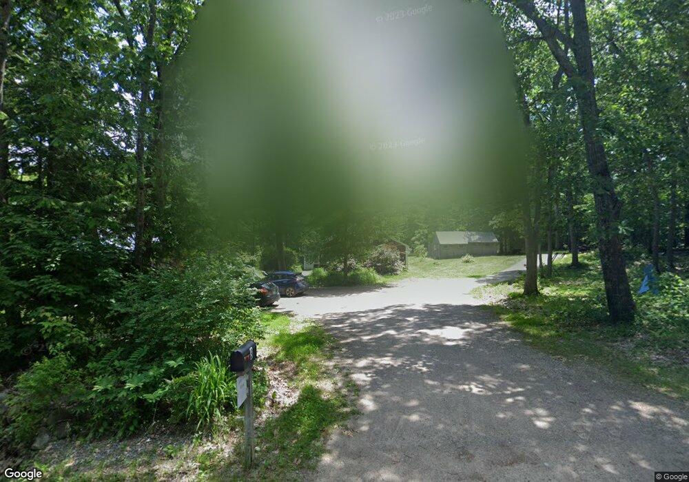
3 Ten Rod Rd New Durham, NH 03855
Estimated Value: $363,000 - $525,000
3
Beds
2
Baths
2,038
Sq Ft
$223/Sq Ft
Est. Value
About This Home
This home is located at 3 Ten Rod Rd, New Durham, NH 03855 and is currently estimated at $454,972, approximately $223 per square foot. 3 Ten Rod Rd is a home located in Strafford County with nearby schools including New Durham Elementary School, Kingswood Regional Middle School, and Kingswood Regional High School.
Ownership History
Date
Name
Owned For
Owner Type
Purchase Details
Closed on
Apr 30, 1999
Sold by
Brothers Susan
Bought by
Brown Christopher L
Current Estimated Value
Home Financials for this Owner
Home Financials are based on the most recent Mortgage that was taken out on this home.
Original Mortgage
$79,859
Interest Rate
6.95%
Purchase Details
Closed on
Oct 16, 1998
Sold by
Clark Linda T
Bought by
Nason Walter D
Purchase Details
Closed on
Sep 30, 1998
Sold by
Clark Linda T
Bought by
Nason Walter D
Create a Home Valuation Report for This Property
The Home Valuation Report is an in-depth analysis detailing your home's value as well as a comparison with similar homes in the area
Home Values in the Area
Average Home Value in this Area
Purchase History
| Date | Buyer | Sale Price | Title Company |
|---|---|---|---|
| Brown Christopher L | $79,900 | -- | |
| Nason Walter D | $69,500 | -- | |
| Nason Walter D | $69,500 | -- |
Source: Public Records
Mortgage History
| Date | Status | Borrower | Loan Amount |
|---|---|---|---|
| Open | Nason Walter D | $169,000 | |
| Closed | Nason Walter D | $175,000 | |
| Closed | Nason Walter D | $162,900 | |
| Closed | Nason Walter D | $79,859 |
Source: Public Records
Tax History Compared to Growth
Tax History
| Year | Tax Paid | Tax Assessment Tax Assessment Total Assessment is a certain percentage of the fair market value that is determined by local assessors to be the total taxable value of land and additions on the property. | Land | Improvement |
|---|---|---|---|---|
| 2024 | $4,869 | $250,600 | $73,300 | $177,300 |
| 2023 | $5,012 | $250,600 | $73,300 | $177,300 |
| 2022 | $4,491 | $250,600 | $73,300 | $177,300 |
| 2021 | $4,476 | $250,600 | $73,300 | $177,300 |
| 2020 | $4,230 | $250,600 | $73,300 | $177,300 |
| 2019 | $4,516 | $190,400 | $41,200 | $149,200 |
| 2018 | $4,385 | $190,400 | $41,200 | $149,200 |
| 2017 | $4,379 | $190,400 | $41,200 | $149,200 |
| 2016 | $4,379 | $192,400 | $41,200 | $151,200 |
| 2015 | $4,262 | $192,400 | $41,200 | $151,200 |
| 2014 | $4,610 | $211,000 | $54,400 | $156,600 |
| 2013 | $4,748 | $211,000 | $54,400 | $156,600 |
Source: Public Records
Map
Nearby Homes
- 24 Ragged Mountain Rd
- Lot 3 Ridge Rd
- 171 Berry Rd
- 956 N Barnstead Rd
- 0 Chamberlain Rd Unit 11 5061842
- 8 Brookwood Dr
- 176 Valley Rd
- 00 Berry Rd Unit 17-8-1
- 21 Shelburne Ln
- 9 Nutter Cir
- 400 New Hampshire 11
- 547 Suncook Valley Rd
- 7 Brenton Ln
- 28 Dalton Dr
- 248 Varney Rd
- Map 5 Lot 14-3 Stockbridge Corner Rd
- 503 Suncook Valley Rd
- 1204 Nh Route 11
- O N Shore Dr
- 77 Holmes Rd
- 8 Ten Rod Rd
- 16 Ten Rod Rd
- 589 Muchado Hill Rd
- 15 Ten Rod Rd
- 604 Muchado Hill Rd
- 28 Ten Rod Rd
- 111 Meaderboro Rd
- 548 Muchado Hill Rd
- 34 Ten Rod Rd
- Lot 29 Meaderboro Rd
- Map 1 - Lot 29- Meaderboro Rd
- 550 Muchado Hill Rd
- 63 Meaderboro Rd
- 535 Muchado Hill Rd
- 335 Berry Rd
- 18 Meaderboro Rd
- 34 Meaderboro Rd
- 20 Meaderboro Rd
- 325 Berry Rd
- 310 Berry Rd