3 Thornton Ln Concord, MA 01742
Estimated Value: $1,136,000 - $1,620,000
3
Beds
3
Baths
2,140
Sq Ft
$605/Sq Ft
Est. Value
About This Home
This home is located at 3 Thornton Ln, Concord, MA 01742 and is currently estimated at $1,294,875, approximately $605 per square foot. 3 Thornton Ln is a home located in Middlesex County with nearby schools including Willard School, Concord Middle School, and The Fenn School.
Ownership History
Date
Name
Owned For
Owner Type
Purchase Details
Closed on
Jun 28, 1996
Sold by
Milgrom Jack
Bought by
Friedman Jacqueline
Current Estimated Value
Purchase Details
Closed on
Dec 1, 1992
Sold by
Wooster James W and Wooster Elizabeth
Bought by
Cammarata Bernard
Purchase Details
Closed on
Sep 1, 1992
Sold by
Schleede Glenn R and Schleede Sandra K
Bought by
Takvorian Ronald W
Create a Home Valuation Report for This Property
The Home Valuation Report is an in-depth analysis detailing your home's value as well as a comparison with similar homes in the area
Home Values in the Area
Average Home Value in this Area
Purchase History
| Date | Buyer | Sale Price | Title Company |
|---|---|---|---|
| Friedman Jacqueline | $369,000 | -- | |
| Cammarata Bernard | $340,000 | -- | |
| Takvorian Ronald W | $358,000 | -- |
Source: Public Records
Mortgage History
| Date | Status | Borrower | Loan Amount |
|---|---|---|---|
| Open | Takvorian Ronald W | $150,000 | |
| Previous Owner | Takvorian Ronald W | $150,000 |
Source: Public Records
Tax History Compared to Growth
Tax History
| Year | Tax Paid | Tax Assessment Tax Assessment Total Assessment is a certain percentage of the fair market value that is determined by local assessors to be the total taxable value of land and additions on the property. | Land | Improvement |
|---|---|---|---|---|
| 2025 | $13,470 | $1,015,800 | $0 | $1,015,800 |
| 2024 | $12,974 | $988,100 | $0 | $988,100 |
| 2023 | $11,746 | $906,300 | $0 | $906,300 |
| 2022 | $11,451 | $775,800 | $0 | $775,800 |
| 2021 | $12,232 | $831,000 | $0 | $831,000 |
| 2020 | $11,825 | $831,000 | $0 | $831,000 |
| 2019 | $11,681 | $823,200 | $0 | $823,200 |
| 2018 | $10,792 | $755,200 | $0 | $755,200 |
| 2017 | $11,096 | $788,600 | $0 | $788,600 |
| 2016 | $10,365 | $744,600 | $0 | $744,600 |
| 2015 | $10,467 | $732,500 | $0 | $732,500 |
Source: Public Records
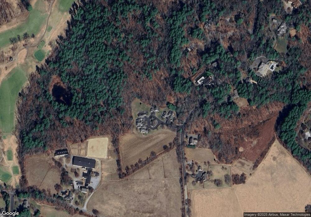
Map
Nearby Homes
- 37 Wolf Pine Way
- 497 Old Road to 9 Acre Corner
- 12 S Meadow Ridge Unit 12
- 12 S Meadow Ridge
- 114 Upland Rd
- 1053 Main St
- 24 Concord Greene Unit 7
- 29 Concord Greene Unit 3
- 16 Concord Greene Unit 5
- 111 Central St
- 182 Southfield Rd
- 602 Main St
- 70 McCallar Ln
- 46 Wood St
- 236 Fairhaven Rd
- 102 Highland St
- 232 Sudbury Rd
- 40 Rookery Ln Unit 5
- 72 Rookery Ln Unit 3
- 106 Elm St
- 1 Thornton Ln
- 2 Thornton Ln
- 7 Thornton Ln
- 6 Thornton Ln
- 4 Thornton Ln
- 6 Thornton Ln Unit 2
- 566 Old Road to 9 Acre Corner
- 605 Old Road to 9 Acre Corner
- 542 Old Road to 9 Acre Corner
- 553 Old Road to 9 Acre Corner
- 39 Wolf Pine Way
- 535 Old Road to 9 Acre Corner
- 637 Old Road to 9 Acre Corner
- 517 Old Road to 9 Acre Corner
- 38 Wolf Pine Way
- 497 Old Road to 9 Acre Corner
- 321 Williams Rd
- 530 Old Road to 9 Acre Corner Unit 530
- 530 Old Road to 9 Acre Corner Unit 520
- 458 Old Road to 9 Acre Corner