3 Top Flight Dr Unit F Norton, MA 02766
Estimated Value: $532,327 - $598,000
2
Beds
3
Baths
1,974
Sq Ft
$290/Sq Ft
Est. Value
About This Home
This home is located at 3 Top Flight Dr Unit F, Norton, MA 02766 and is currently estimated at $572,332, approximately $289 per square foot. 3 Top Flight Dr Unit F is a home located in Bristol County with nearby schools including J.C. Solmonese Elementary School, Henri A. Yelle Elementary School, and Norton Middle School.
Ownership History
Date
Name
Owned For
Owner Type
Purchase Details
Closed on
Jun 30, 2015
Sold by
Linton Hans M and Linton Marcia M
Bought by
Mulkerrins Peter M
Current Estimated Value
Purchase Details
Closed on
Jan 27, 2012
Sold by
Deltano Edmund L Est
Bought by
Linton Hans M and Linton Marcia M
Home Financials for this Owner
Home Financials are based on the most recent Mortgage that was taken out on this home.
Original Mortgage
$300,200
Interest Rate
3.94%
Mortgage Type
New Conventional
Purchase Details
Closed on
Feb 9, 2007
Sold by
Mazer Richard M and Mazer Sandra L
Bought by
Deltano Edmund
Home Financials for this Owner
Home Financials are based on the most recent Mortgage that was taken out on this home.
Original Mortgage
$210,000
Interest Rate
6.22%
Mortgage Type
Purchase Money Mortgage
Create a Home Valuation Report for This Property
The Home Valuation Report is an in-depth analysis detailing your home's value as well as a comparison with similar homes in the area
Home Values in the Area
Average Home Value in this Area
Purchase History
| Date | Buyer | Sale Price | Title Company |
|---|---|---|---|
| Mulkerrins Peter M | $327,500 | -- | |
| Linton Hans M | $316,000 | -- | |
| Deltano Edmund | $348,000 | -- |
Source: Public Records
Mortgage History
| Date | Status | Borrower | Loan Amount |
|---|---|---|---|
| Previous Owner | Linton Hans M | $300,200 | |
| Previous Owner | Linton Hans M | $225,000 | |
| Previous Owner | Deltano Edmund | $210,000 |
Source: Public Records
Tax History
| Year | Tax Paid | Tax Assessment Tax Assessment Total Assessment is a certain percentage of the fair market value that is determined by local assessors to be the total taxable value of land and additions on the property. | Land | Improvement |
|---|---|---|---|---|
| 2025 | $56 | $432,000 | $0 | $432,000 |
| 2024 | $5,899 | $455,500 | $0 | $455,500 |
| 2023 | $5,349 | $411,800 | $0 | $411,800 |
| 2022 | $5,208 | $365,200 | $0 | $365,200 |
| 2021 | $5,055 | $338,600 | $0 | $338,600 |
| 2020 | $4,970 | $335,800 | $0 | $335,800 |
| 2019 | $4,790 | $321,500 | $0 | $321,500 |
| 2018 | $5,145 | $339,400 | $0 | $339,400 |
| 2017 | $4,992 | $324,800 | $0 | $324,800 |
| 2016 | $5,168 | $331,100 | $0 | $331,100 |
| 2015 | $4,999 | $324,800 | $0 | $324,800 |
| 2014 | -- | $293,100 | $0 | $293,100 |
Source: Public Records
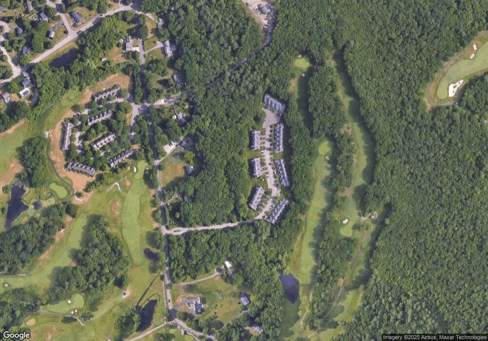
Map
Nearby Homes
- 143 Oak St Unit 10
- 10 Anna Way
- 101 Godfrey Dr Unit 101
- 343 Godfrey Dr
- 2 Oak St Unit 2B
- 5 Village Way Unit C
- 10 Walter St
- 4 Village Way Unit F
- 71 Richardson Ave
- 451R Gilbert St
- 250 Mansfield Ave Unit 11
- 157 Mansfield Ave Unit 27
- 157 Mansfield Ave Unit 14
- 17 Village Way Unit F
- 5 Robin Cir Unit 5
- 345 Richardson Ave
- 8 Country Cir
- 2 Edgewater Dr Unit 2
- 93 Mansfield Ave
- 14 Claire Ave
- 3 Top Flight Dr Unit A
- 3 Top Flight Dr Unit B
- 3 Top Flight Dr Unit C
- 3 Top Flight Dr Unit D
- 3 Top Flight Dr Unit E
- 3 Top Flight Dr Unit 5,9
- 3 Top Flight Dr Unit 3-F,3
- 3F Top Flight Dr
- 3 E Top Flight Dr Unit E3
- 4 A Top Flight Dr Unit A,4
- 4 Top Flight Dr Unit D
- 4 Top Flight Dr Unit C
- 4 Top Flight Dr Unit B
- 4 Top Flight Dr Unit A
- 4 Top Flight Dr
- 4 Top Flight Dr Unit A,2
- 4 Top Flight Dr Unit 4
- 4 Top Flight Dr Unit 4C
- 5 Top Flight Dr Unit A
- 5 Top Flight Dr Unit B
Your Personal Tour Guide
Ask me questions while you tour the home.