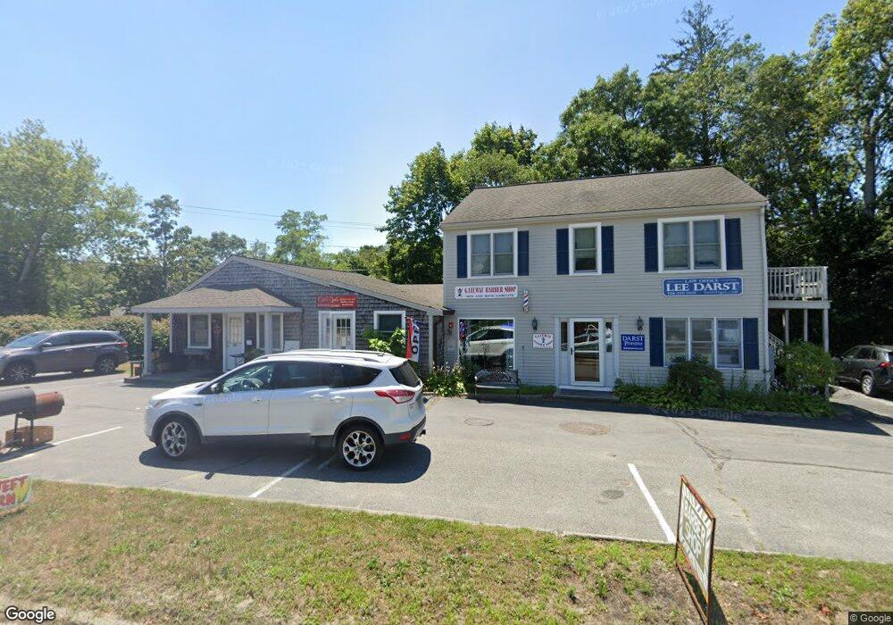
3 Tremont Rd Unit A Wareham, MA 02571
Estimated Value: $846,501
2
Beds
3
Baths
2,732
Sq Ft
$310/Sq Ft
Est. Value
About This Home
This home is located at 3 Tremont Rd Unit A, Wareham, MA 02571 and is currently estimated at $846,501, approximately $309 per square foot. 3 Tremont Rd Unit A is a home located in Plymouth County.
Ownership History
Date
Name
Owned For
Owner Type
Purchase Details
Closed on
Jun 2, 2003
Sold by
Gifford Ent Ltd
Bought by
Jason Regan C
Current Estimated Value
Purchase Details
Closed on
May 21, 1987
Sold by
Cape Cod Trust
Bought by
St Clair David V
Home Financials for this Owner
Home Financials are based on the most recent Mortgage that was taken out on this home.
Original Mortgage
$87,000
Interest Rate
9.48%
Mortgage Type
Commercial
Create a Home Valuation Report for This Property
The Home Valuation Report is an in-depth analysis detailing your home's value as well as a comparison with similar homes in the area
Home Values in the Area
Average Home Value in this Area
Purchase History
| Date | Buyer | Sale Price | Title Company |
|---|---|---|---|
| Jason Regan C | $385,000 | -- | |
| Jason Regan C | $385,000 | -- | |
| St Clair David V | $131,000 | -- |
Source: Public Records
Mortgage History
| Date | Status | Borrower | Loan Amount |
|---|---|---|---|
| Previous Owner | St Clair David V | $87,000 |
Source: Public Records
Tax History Compared to Growth
Tax History
| Year | Tax Paid | Tax Assessment Tax Assessment Total Assessment is a certain percentage of the fair market value that is determined by local assessors to be the total taxable value of land and additions on the property. | Land | Improvement |
|---|---|---|---|---|
| 2025 | $3,977 | $381,700 | $101,200 | $280,500 |
| 2024 | $3,411 | $303,700 | $84,300 | $219,400 |
| 2023 | $4,001 | $303,700 | $84,300 | $219,400 |
| 2022 | $4,001 | $303,600 | $84,300 | $219,300 |
| 2021 | $4,083 | $303,600 | $84,300 | $219,300 |
| 2020 | $4,026 | $303,600 | $84,300 | $219,300 |
| 2019 | $3,758 | $282,800 | $80,200 | $202,600 |
| 2018 | $3,855 | $282,800 | $80,200 | $202,600 |
| 2017 | $3,804 | $282,800 | $80,200 | $202,600 |
| 2016 | $3,826 | $282,800 | $80,200 | $202,600 |
| 2015 | $3,696 | $282,800 | $80,200 | $202,600 |
| 2014 | $3,730 | $290,300 | $87,700 | $202,600 |
Source: Public Records
Map
Nearby Homes
- 0 Main St Unit 73450471
- 687 Main St
- 722 Main St
- 437 Main St
- 2596 Cranberry Hwy
- 53 Starboard Dr Unit 36G
- 110 Mayflower Ridge Dr
- 19 Station St
- 62 High St
- 6 A Rock Marsh Rd Unit A
- 6 A Rock Marsh Rd Unit A
- 21 Windsor Dr
- 189 Pine View Terrace
- 199 Windswept Rd
- 67 Swifts Beach Rd
- 87 Great Hill Dr
- 59 Timber Ln
- 45 Main St Unit 38
- 5 Sola's Cir
- 13 Cherry St
- 3 Tremont Rd
- 14 Tremont Rd
- 572 Main St
- 566 Main St
- 0 Main St
- 0 Main St Unit 2028404
- 0 Main St Unit 2028403
- 0 Main St Unit 2028402
- 0 Main St Unit 9909111
- 0 Main St Unit 32 7029595
- 0 Main St Unit 5008432
- 0 Main St Unit 8046611
- 0 Main St Unit 45786
- 0 Main St Unit 35 4000887
- 0 Main St Unit 201 2008307
- 0 Main St Unit 37 2005969
- 0 Main St Unit 109 7025488
- 0 Main St Unit 213 7033948
- 0 Main St Unit 218 5009575
- 609 Main St