3 Umbrella Way Manville, RI 02838
Manville-Albion NeighborhoodEstimated Value: $561,000 - $770,650
3
Beds
4
Baths
2,484
Sq Ft
$259/Sq Ft
Est. Value
About This Home
This home is located at 3 Umbrella Way, Manville, RI 02838 and is currently estimated at $643,913, approximately $259 per square foot. 3 Umbrella Way is a home located in Providence County with nearby schools including Lincoln Senior High School, Blackstone Valley Prep Element, and Blackstone Valley Prep High School.
Ownership History
Date
Name
Owned For
Owner Type
Purchase Details
Closed on
Jan 3, 1995
Sold by
Mckee Melissa
Bought by
Somyk John P
Current Estimated Value
Home Financials for this Owner
Home Financials are based on the most recent Mortgage that was taken out on this home.
Original Mortgage
$136,000
Interest Rate
9.2%
Create a Home Valuation Report for This Property
The Home Valuation Report is an in-depth analysis detailing your home's value as well as a comparison with similar homes in the area
Home Values in the Area
Average Home Value in this Area
Purchase History
| Date | Buyer | Sale Price | Title Company |
|---|---|---|---|
| Somyk John P | $170,000 | -- |
Source: Public Records
Mortgage History
| Date | Status | Borrower | Loan Amount |
|---|---|---|---|
| Open | Somyk John P | $325,000 | |
| Closed | Somyk John P | $217,332 | |
| Closed | Somyk John P | $180,000 | |
| Closed | Somyk John P | $136,000 |
Source: Public Records
Tax History Compared to Growth
Tax History
| Year | Tax Paid | Tax Assessment Tax Assessment Total Assessment is a certain percentage of the fair market value that is determined by local assessors to be the total taxable value of land and additions on the property. | Land | Improvement |
|---|---|---|---|---|
| 2025 | $8,989 | $664,900 | $231,000 | $433,900 |
| 2024 | $9,506 | $547,900 | $196,300 | $351,600 |
| 2023 | $9,035 | $547,900 | $196,300 | $351,600 |
| 2022 | $9,013 | $547,900 | $196,300 | $351,600 |
| 2021 | $7,759 | $382,400 | $136,300 | $246,100 |
| 2020 | $7,702 | $382,400 | $136,300 | $246,100 |
| 2018 | $7,751 | $346,800 | $139,800 | $207,000 |
| 2017 | $7,595 | $346,800 | $139,800 | $207,000 |
| 2016 | $7,491 | $346,800 | $139,800 | $207,000 |
| 2015 | $7,690 | $326,800 | $134,800 | $192,000 |
| 2014 | $7,703 | $326,800 | $134,800 | $192,000 |
Source: Public Records
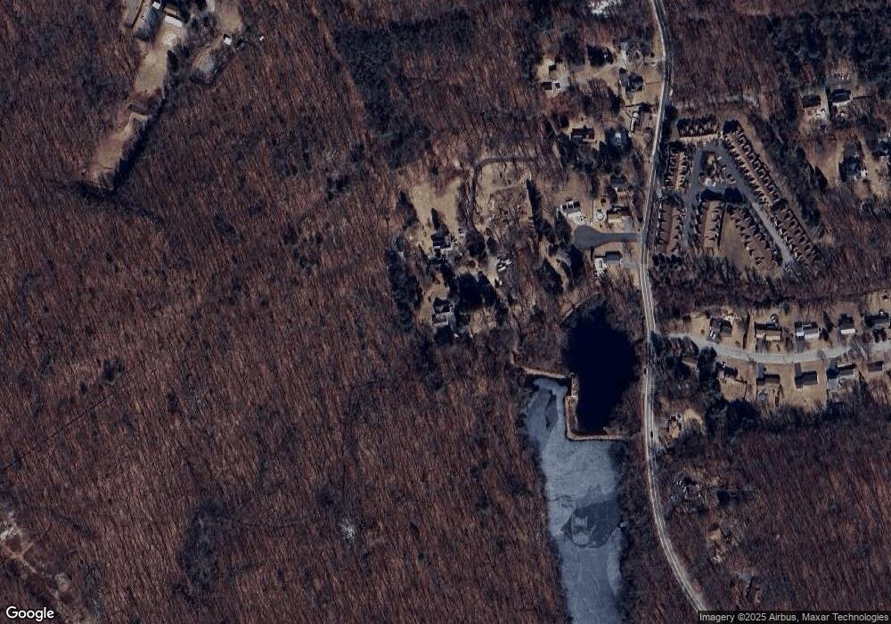
Map
Nearby Homes
- 125 Main St
- 2 Angle St Unit 5
- 253 Central St
- 285 School St
- 12 Dulles St
- 256 School St
- 274 Albion Rd
- 11 Secluded Ct
- 25 Manville Hill Rd
- 200 Heroux Blvd Unit 606
- Lot A Old Smithfield Rd
- 13 Plant St
- 252 Railroad St
- 196 Old River Rd Unit 137
- 33 Sandy Way
- 2 Main St Unit 15
- 19 Marques St
- 2970 Mendon Rd Unit 139
- 2970 Mendon Rd Unit 84
- 2970 Mendon Rd Unit 154
- 2 Umbrella Way
- 1 Umbrella Way
- 3 Desoto Way
- 4 Desoto Way
- 1 Desoto Way
- 2 Desoto Way
- 0 Umbrella Way
- 316 Old River Rd
- 2 Mussey Brook Rd
- 322 Old River Rd
- 299 Old River Rd
- 315 Old River Rd Unit 7
- 315 Old River Rd Unit 12
- 315 Old River Rd Unit 13
- 315 Old River Rd Unit 10
- 315 Old River Rd Unit 22
- 315 Old River Rd Unit 21
- 315 Old River Rd Unit 20
- 315 Old River Rd Unit 19
- 315 Old River Rd Unit 17