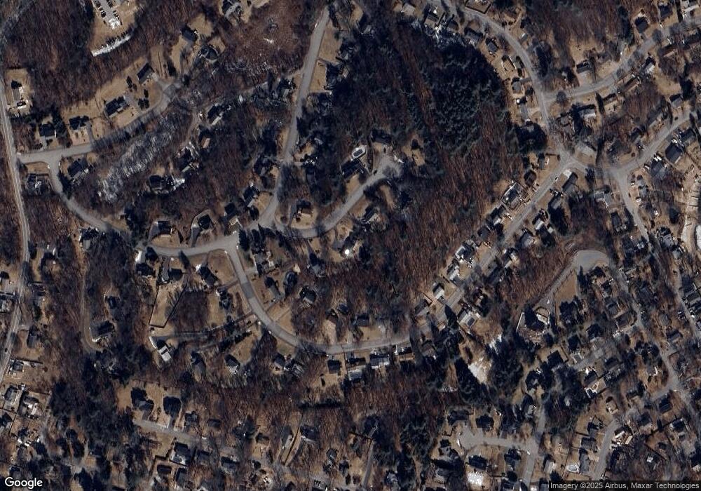
3 Utica Dr Hudson, MA 01749
Estimated Value: $847,000 - $932,000
3
Beds
3
Baths
2,514
Sq Ft
$356/Sq Ft
Est. Value
About This Home
This home is located at 3 Utica Dr, Hudson, MA 01749 and is currently estimated at $893,898, approximately $355 per square foot. 3 Utica Dr is a home located in Middlesex County with nearby schools including David J. Quinn Middle School, Hudson High School, and Darnell School For Educational & Behavioral Service.
Ownership History
Date
Name
Owned For
Owner Type
Purchase Details
Closed on
Jun 28, 1999
Sold by
Dischinger John S and Dischinger Karen K
Bought by
Knutel Phillip G
Current Estimated Value
Home Financials for this Owner
Home Financials are based on the most recent Mortgage that was taken out on this home.
Original Mortgage
$223,920
Interest Rate
7.09%
Mortgage Type
Purchase Money Mortgage
Purchase Details
Closed on
Aug 2, 1988
Sold by
Quality Homes Rt
Bought by
Chadsey Earl E
Create a Home Valuation Report for This Property
The Home Valuation Report is an in-depth analysis detailing your home's value as well as a comparison with similar homes in the area
Home Values in the Area
Average Home Value in this Area
Purchase History
| Date | Buyer | Sale Price | Title Company |
|---|---|---|---|
| Knutel Phillip G | $279,900 | -- | |
| Chadsey Earl E | $307,500 | -- |
Source: Public Records
Mortgage History
| Date | Status | Borrower | Loan Amount |
|---|---|---|---|
| Open | Chadsey Earl E | $282,000 | |
| Closed | Chadsey Earl E | $324,000 | |
| Closed | Chadsey Earl E | $223,920 |
Source: Public Records
Tax History Compared to Growth
Tax History
| Year | Tax Paid | Tax Assessment Tax Assessment Total Assessment is a certain percentage of the fair market value that is determined by local assessors to be the total taxable value of land and additions on the property. | Land | Improvement |
|---|---|---|---|---|
| 2025 | $12,485 | $899,500 | $226,200 | $673,300 |
| 2024 | $11,684 | $834,600 | $205,500 | $629,100 |
| 2023 | $11,114 | $761,200 | $197,800 | $563,400 |
| 2022 | $11,002 | $693,700 | $179,800 | $513,900 |
| 2021 | $10,875 | $655,500 | $171,200 | $484,300 |
| 2020 | $9,494 | $571,600 | $167,700 | $403,900 |
| 2019 | $8,801 | $516,800 | $167,700 | $349,100 |
| 2018 | $9,328 | $517,400 | $159,700 | $357,700 |
| 2017 | $8,393 | $479,600 | $152,100 | $327,500 |
| 2016 | $7,718 | $446,400 | $152,100 | $294,300 |
| 2015 | $7,219 | $418,000 | $152,100 | $265,900 |
| 2014 | $7,139 | $409,800 | $133,700 | $276,100 |
Source: Public Records
Map
Nearby Homes
- 48 Jewell Rd Unit Lot 6
- 46 Jewell Rd Unit Lot 5
- 44 Jewell Rd Unit Lot 4
- 30 Jewell Rd Unit Lot 2
- 36 Jewell Rd Unit Lot 3
- 1 Rotherham Way Unit B
- 129 Fort Meadow Dr
- 18 Collins Dr
- 18 Amory Rd
- 57 Paquin Dr
- 656 Bolton St
- 114 Lodi Rd
- 0 Washington St
- 243 Washington St
- 2 Blueberry Ln
- 3 Townsend Rd
- 44 Stevens Rd
- 377 Hosmer St
- 8 Abigail Dr
- 56 Forest Ave
