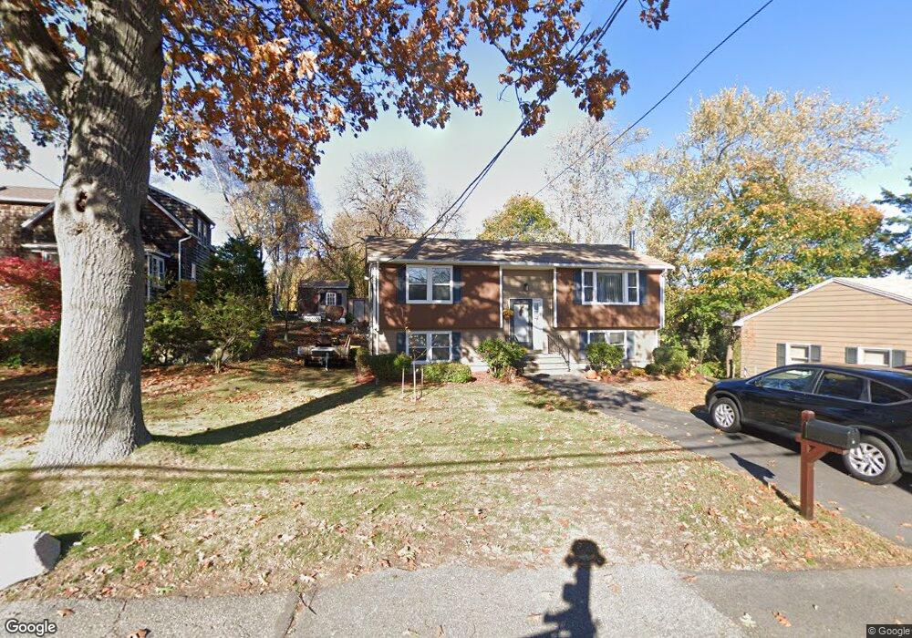
3 Wesley St Gloucester, MA 01930
Riverview NeighborhoodEstimated Value: $555,000 - $758,000
2
Beds
2
Baths
954
Sq Ft
$688/Sq Ft
Est. Value
About This Home
This home is located at 3 Wesley St, Gloucester, MA 01930 and is currently estimated at $656,194, approximately $687 per square foot. 3 Wesley St is a home located in Essex County with nearby schools including Beeman Memorial, Ralph B O'maley Middle School, and Gloucester High School.
Ownership History
Date
Name
Owned For
Owner Type
Purchase Details
Closed on
Feb 14, 1992
Sold by
Apit Harry W and Aptt Marcia E
Bought by
Apit Brian K and Aptt Paulette E
Current Estimated Value
Home Financials for this Owner
Home Financials are based on the most recent Mortgage that was taken out on this home.
Original Mortgage
$80,000
Interest Rate
8.18%
Mortgage Type
Purchase Money Mortgage
Create a Home Valuation Report for This Property
The Home Valuation Report is an in-depth analysis detailing your home's value as well as a comparison with similar homes in the area
Home Values in the Area
Average Home Value in this Area
Purchase History
| Date | Buyer | Sale Price | Title Company |
|---|---|---|---|
| Apit Brian K | $105,000 | -- |
Source: Public Records
Mortgage History
| Date | Status | Borrower | Loan Amount |
|---|---|---|---|
| Closed | Apit Brian K | $80,000 |
Source: Public Records
Tax History
| Year | Tax Paid | Tax Assessment Tax Assessment Total Assessment is a certain percentage of the fair market value that is determined by local assessors to be the total taxable value of land and additions on the property. | Land | Improvement |
|---|---|---|---|---|
| 2025 | $5,720 | $588,500 | $251,100 | $337,400 |
| 2024 | $5,802 | $596,300 | $239,100 | $357,200 |
| 2023 | $5,526 | $521,800 | $213,500 | $308,300 |
| 2022 | $5,172 | $440,900 | $181,500 | $259,400 |
| 2021 | $5,077 | $408,100 | $165,000 | $243,100 |
| 2020 | $4,830 | $391,700 | $165,000 | $226,700 |
| 2019 | $4,881 | $384,600 | $165,000 | $219,600 |
| 2018 | $4,666 | $360,900 | $165,000 | $195,900 |
| 2017 | $4,467 | $338,700 | $157,100 | $181,600 |
| 2016 | $4,410 | $324,000 | $157,600 | $166,400 |
| 2015 | $4,287 | $314,100 | $157,600 | $156,500 |
Source: Public Records
Map
Nearby Homes
- 13 Honeysuckle Rd
- 3 Deacon Farm Ln
- 31 Echo Ave
- 2 Breezy Point Rd
- 13 Mystic Ave
- 8 Mystic Ave
- 6 Monroe Ct
- 98 Maplewood Ave
- 672 Washington St
- 167 Atlantic St
- 40 Sargent St
- 15 Harvard St
- 145 Essex Ave Unit 402
- 19 Trask St Unit 2
- 33 Maplewood Ave Unit 310
- 113 Pleasant St
- 226 Atlantic St
- 20 Beacon St
- 20 Beacon St Unit 2
- 20 Beacon St Unit 1
Your Personal Tour Guide
Ask me questions while you tour the home.