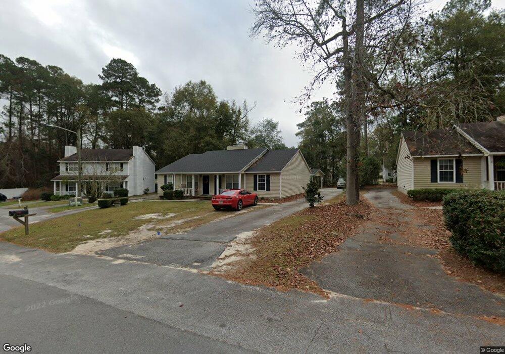
3 Westbrook Cir Unit B Valdosta, GA 31602
Estimated Value: $120,818 - $205,000
--
Bed
2
Baths
1,014
Sq Ft
$155/Sq Ft
Est. Value
About This Home
This home is located at 3 Westbrook Cir Unit B, Valdosta, GA 31602 and is currently estimated at $156,955, approximately $154 per square foot. 3 Westbrook Cir Unit B is a home located in Lowndes County with nearby schools including S.L. Mason Elementary School, Valdosta Middle School, and Valdosta High School.
Ownership History
Date
Name
Owned For
Owner Type
Purchase Details
Closed on
Jun 8, 1990
Bought by
White Jennifer E
Current Estimated Value
Purchase Details
Closed on
Jun 23, 1989
Bought by
Godfrey Daniel K Etal
Purchase Details
Closed on
Jun 9, 1988
Bought by
Godfrey Daniel K Etal
Purchase Details
Closed on
Sep 28, 1984
Bought by
Sumner David J and Sumner Alison
Purchase Details
Closed on
Feb 10, 1984
Bought by
Devon Corporation
Create a Home Valuation Report for This Property
The Home Valuation Report is an in-depth analysis detailing your home's value as well as a comparison with similar homes in the area
Home Values in the Area
Average Home Value in this Area
Purchase History
| Date | Buyer | Sale Price | Title Company |
|---|---|---|---|
| White Jennifer E | $47,500 | -- | |
| Godfrey Daniel K Etal | -- | -- | |
| Godfrey Daniel K Etal | $46,000 | -- | |
| Sumner David J | -- | -- | |
| Sumner David J | $44,000 | -- | |
| Devon Corporation | $12,000 | -- |
Source: Public Records
Tax History Compared to Growth
Tax History
| Year | Tax Paid | Tax Assessment Tax Assessment Total Assessment is a certain percentage of the fair market value that is determined by local assessors to be the total taxable value of land and additions on the property. | Land | Improvement |
|---|---|---|---|---|
| 2024 | $1,062 | $38,026 | $8,000 | $30,026 |
| 2023 | $1,062 | $38,026 | $8,000 | $30,026 |
| 2022 | $1,033 | $30,579 | $8,000 | $22,579 |
| 2021 | $1,063 | $30,579 | $8,000 | $22,579 |
| 2020 | $919 | $25,885 | $8,000 | $17,885 |
| 2019 | $919 | $25,885 | $8,000 | $17,885 |
| 2018 | $931 | $25,885 | $8,000 | $17,885 |
| 2017 | $937 | $25,885 | $8,000 | $17,885 |
| 2016 | $936 | $25,885 | $8,000 | $17,885 |
| 2015 | $859 | $25,885 | $8,000 | $17,885 |
| 2014 | $873 | $25,885 | $8,000 | $17,885 |
Source: Public Records
Map
Nearby Homes
- 2121 Northwood Cir
- 2092 S Sherwood Dr Unit L100
- 2092 S Sherwood Dr Unit N118
- 2092 S Sherwood Dr Unit E38
- 2092 S Sherwood Dr Unit P130
- 2092 S Sherwood Dr
- 2092 S Sherwood Dr Unit P130
- 2092 S Sherwood Dr Unit G52
- 2110 Park Ln
- 2102 Park Ln
- 2207 S Sherwood Dr
- 2243 Oakgrove Cir
- 2214 Park Ln
- 2215 Park Ln
- 2115 Pinecliff Dr
- 1921 Gornto Rd Unit 19
- 1921 Gornto Rd Unit 5
- 2208 Dogwood Dr
- 2115 Westfield Dr
- 2206 Gornto Rd
- 3 Westbrook Cir
- 1 Westbrook Cir Unit B
- 1 Westbrook Cir Unit A
- 5 Westbrook Cir Unit B
- 4 Wooddale Dr
- 48 Wooddale Dr
- 4 Wooddale Dr Unit A
- 4 Wooddale Dr
- 2 Wooddale Dr Unit A
- 2 Wooddale Dr Unit B
- 6 Wooddale Dr Unit B
- 4 Westbrook Cir
- 7 Westbrook Cir Unit 2
- 7 Westbrook Cir
- 2 Westbrook Cir Unit A/B
- 2 Westbrook Cir
- 8 Westbrook Cir Unit B
- 8 Westbrook Cir Unit A & B
- 8 Westbrook Cir
- 8 Westbrook Cir Unit 2