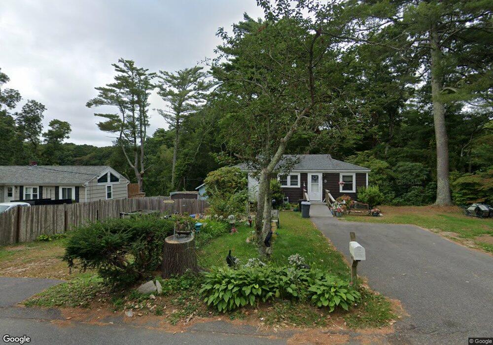
3 White Pine Ln East Falmouth, MA 02536
Hatchville NeighborhoodEstimated Value: $430,000 - $530,000
2
Beds
1
Bath
620
Sq Ft
$741/Sq Ft
Est. Value
About This Home
This home is located at 3 White Pine Ln, East Falmouth, MA 02536 and is currently estimated at $459,114, approximately $740 per square foot. 3 White Pine Ln is a home located in Barnstable County with nearby schools including Mullen-Hall School, Morse Pond School, and Lawrence School.
Ownership History
Date
Name
Owned For
Owner Type
Purchase Details
Closed on
Oct 10, 2023
Sold by
Santiago Jeanne G Est and Perra
Bought by
Perra Jean M
Current Estimated Value
Purchase Details
Closed on
Jul 18, 2018
Sold by
Santiago Albert and Santiago Jeanne G
Bought by
Santiago Albert and Santiago Jeanne G
Purchase Details
Closed on
Jan 1, 1965
Bought by
Santiago Albert and Santiago Jeanne G
Create a Home Valuation Report for This Property
The Home Valuation Report is an in-depth analysis detailing your home's value as well as a comparison with similar homes in the area
Home Values in the Area
Average Home Value in this Area
Purchase History
| Date | Buyer | Sale Price | Title Company |
|---|---|---|---|
| Perra Jean M | -- | None Available | |
| Santiago Albert | -- | None Available | |
| Santiago Albert | -- | -- |
Source: Public Records
Tax History Compared to Growth
Tax History
| Year | Tax Paid | Tax Assessment Tax Assessment Total Assessment is a certain percentage of the fair market value that is determined by local assessors to be the total taxable value of land and additions on the property. | Land | Improvement |
|---|---|---|---|---|
| 2025 | $1,942 | $330,900 | $144,100 | $186,800 |
| 2024 | $1,919 | $305,500 | $136,500 | $169,000 |
| 2023 | $1,996 | $288,400 | $136,500 | $151,900 |
| 2022 | $1,849 | $229,700 | $102,900 | $126,800 |
| 2021 | $1,804 | $212,200 | $98,500 | $113,700 |
| 2020 | $1,745 | $203,200 | $89,500 | $113,700 |
| 2019 | $1,442 | $168,500 | $89,500 | $79,000 |
| 2018 | $1,407 | $163,600 | $89,500 | $74,100 |
| 2017 | $1,378 | $161,600 | $89,500 | $72,100 |
| 2016 | $1,349 | $161,200 | $89,500 | $71,700 |
| 2015 | $1,320 | $161,200 | $89,500 | $71,700 |
| 2014 | $1,372 | $168,300 | $94,300 | $74,000 |
Source: Public Records
Map
Nearby Homes
- 590 Sandwich Rd
- 25 Harris Hill Rd
- 68 Deepwood Dr
- 17 Pinewood Dr
- 70 Meredith Dr
- 59 Whitecaps Dr
- 100 Tanglewood Dr
- 66 Braxton Rd
- 3 Viber Ln
- 12 Rock Hollow Dr
- 130 Old Barnstable Rd
- 809 Sandwich Rd
- 32 Jamie Ln
- 273 Sandwich Rd
- 23 Little John Rd
- 24 Little John Rd
- 33 John Parker Rd
- 149 Brick Kiln Rd
- 35 Old Barnstable Rd
- 7 White Pine Ln
- 2 White Pine Ln
- 554 Sandwich Rd
- 11 White Pine Ln
- 8 White Pine Ln
- 551 Sandwich Rd
- 12 White Pine Ln
- 558 Sandwich Rd
- 17 White Pine Ln
- 9 Corrine Dr
- 3 Corrine Dr
- 15 Corrine Dr
- 18 White Pine Ln
- 562 Sandwich Rd
- 19 White Pine Ln
- 19 Corrine Dr
- 561 Sandwich Rd
- 566 Sandwich Rd
- 22 White Pine Ln
- 10 Lakewood Dr