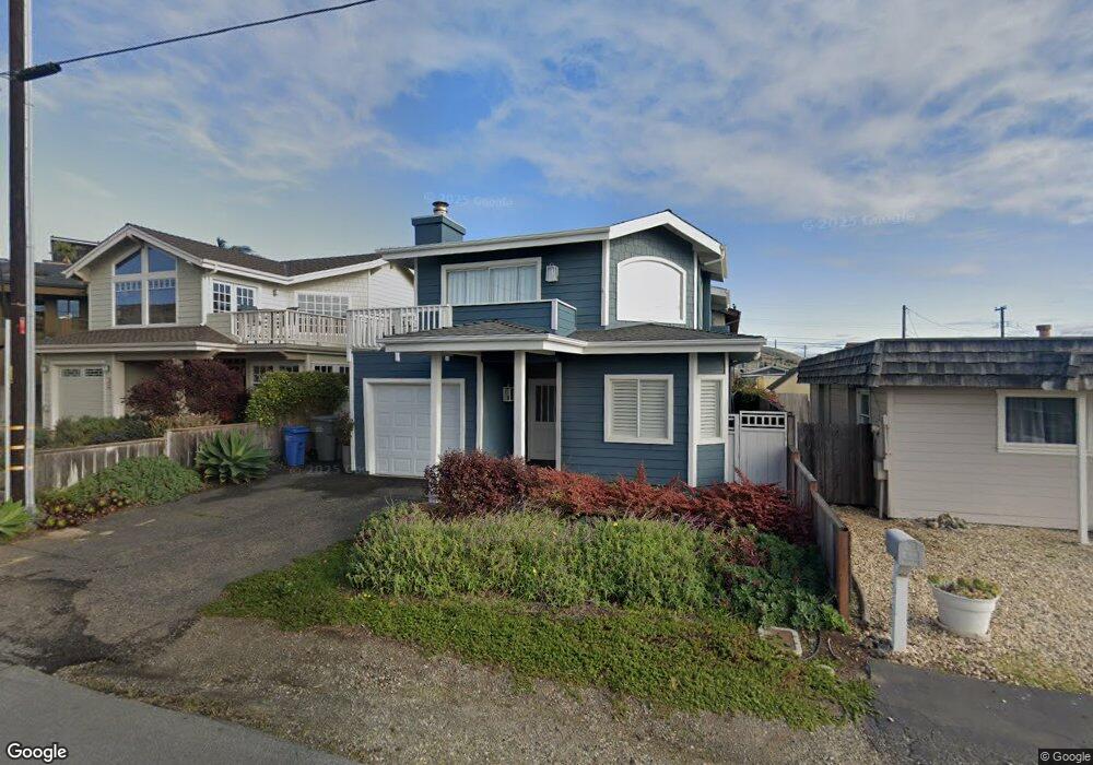
30 17th St Cayucos, CA 93430
Cayucos NeighborhoodEstimated Value: $1,274,000 - $1,749,000
3
Beds
3
Baths
1,639
Sq Ft
$895/Sq Ft
Est. Value
About This Home
This home is located at 30 17th St, Cayucos, CA 93430 and is currently estimated at $1,466,539, approximately $894 per square foot. 30 17th St is a home located in San Luis Obispo County.
Ownership History
Date
Name
Owned For
Owner Type
Purchase Details
Closed on
Nov 5, 2021
Sold by
Brooks Douglas C and Brooks Debra L
Bought by
Brooks Douglas Charles and Brooks Debra Lynne
Current Estimated Value
Purchase Details
Closed on
Dec 11, 2001
Sold by
Maxwell Carol C
Bought by
Brooks Douglas C and Brooks Debra L
Home Financials for this Owner
Home Financials are based on the most recent Mortgage that was taken out on this home.
Original Mortgage
$300,700
Interest Rate
6.73%
Purchase Details
Closed on
May 21, 1998
Sold by
Maxwell Carol L
Bought by
Maxwell Carol C
Purchase Details
Closed on
Feb 17, 1998
Sold by
Day John T
Bought by
Maxwell Carol L
Home Financials for this Owner
Home Financials are based on the most recent Mortgage that was taken out on this home.
Original Mortgage
$225,000
Interest Rate
6.99%
Create a Home Valuation Report for This Property
The Home Valuation Report is an in-depth analysis detailing your home's value as well as a comparison with similar homes in the area
Home Values in the Area
Average Home Value in this Area
Purchase History
| Date | Buyer | Sale Price | Title Company |
|---|---|---|---|
| Brooks Douglas Charles | -- | None Available | |
| Brooks Douglas C | $510,000 | Cuesta Title Company | |
| Maxwell Carol C | -- | -- | |
| Maxwell Carol L | $310,000 | First American Title |
Source: Public Records
Mortgage History
| Date | Status | Borrower | Loan Amount |
|---|---|---|---|
| Previous Owner | Brooks Douglas C | $300,700 | |
| Previous Owner | Maxwell Carol L | $225,000 | |
| Closed | Brooks Douglas C | $150,000 |
Source: Public Records
Tax History
| Year | Tax Paid | Tax Assessment Tax Assessment Total Assessment is a certain percentage of the fair market value that is determined by local assessors to be the total taxable value of land and additions on the property. | Land | Improvement |
|---|---|---|---|---|
| 2025 | $7,861 | $753,403 | $480,114 | $273,289 |
| 2024 | $7,775 | $738,631 | $470,700 | $267,931 |
| 2023 | $7,775 | $724,149 | $461,471 | $262,678 |
| 2022 | $7,644 | $709,951 | $452,423 | $257,528 |
| 2021 | $7,536 | $696,031 | $443,552 | $252,479 |
| 2020 | $7,456 | $688,895 | $439,004 | $249,891 |
| 2019 | $7,310 | $675,389 | $430,397 | $244,992 |
| 2018 | $7,166 | $662,147 | $421,958 | $240,189 |
| 2017 | $7,024 | $649,165 | $413,685 | $235,480 |
| 2016 | $6,886 | $636,437 | $405,574 | $230,863 |
| 2015 | $6,826 | $626,878 | $399,482 | $227,396 |
| 2014 | $6,586 | $614,599 | $391,657 | $222,942 |
Source: Public Records
Map
Nearby Homes
Your Personal Tour Guide
Ask me questions while you tour the home.