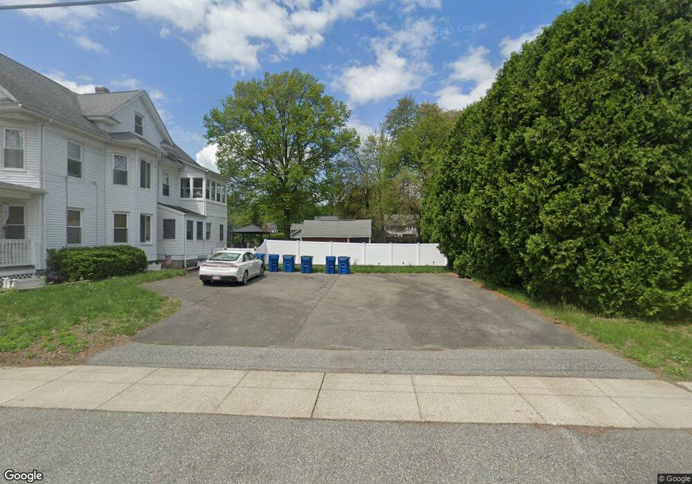
30-32 Fox St West Springfield, MA 01089
Estimated Value: $391,000 - $476,000
5
Beds
3
Baths
3,372
Sq Ft
$125/Sq Ft
Est. Value
About This Home
This home is located at 30-32 Fox St, West Springfield, MA 01089 and is currently estimated at $419,959, approximately $124 per square foot. 30-32 Fox St is a home located in Hampden County with nearby schools including Hampden Charter School of Science West and St Thomas The Apostle School.
Ownership History
Date
Name
Owned For
Owner Type
Purchase Details
Closed on
Jul 25, 2006
Sold by
Pastore Mary A and Pastore Michael D
Bought by
Trueman Scott
Current Estimated Value
Home Financials for this Owner
Home Financials are based on the most recent Mortgage that was taken out on this home.
Original Mortgage
$238,119
Outstanding Balance
$141,522
Interest Rate
6.67%
Mortgage Type
Purchase Money Mortgage
Estimated Equity
$278,437
Purchase Details
Closed on
Oct 1, 1997
Sold by
Roy Robert A and Roy Maureen E
Bought by
Pastore Michael D and Pastore Mary A
Home Financials for this Owner
Home Financials are based on the most recent Mortgage that was taken out on this home.
Original Mortgage
$112,200
Interest Rate
7.41%
Mortgage Type
Purchase Money Mortgage
Create a Home Valuation Report for This Property
The Home Valuation Report is an in-depth analysis detailing your home's value as well as a comparison with similar homes in the area
Home Values in the Area
Average Home Value in this Area
Purchase History
| Date | Buyer | Sale Price | Title Company |
|---|---|---|---|
| Trueman Scott | $240,000 | -- | |
| Pastore Michael D | $114,900 | -- |
Source: Public Records
Mortgage History
| Date | Status | Borrower | Loan Amount |
|---|---|---|---|
| Open | Trueman Scott | $238,119 | |
| Previous Owner | Pastore Michael D | $112,200 | |
| Previous Owner | Pastore Michael D | $92,400 |
Source: Public Records
Tax History Compared to Growth
Tax History
| Year | Tax Paid | Tax Assessment Tax Assessment Total Assessment is a certain percentage of the fair market value that is determined by local assessors to be the total taxable value of land and additions on the property. | Land | Improvement |
|---|---|---|---|---|
| 2025 | $4,747 | $319,200 | $113,000 | $206,200 |
| 2024 | $4,727 | $319,200 | $113,000 | $206,200 |
| 2023 | $4,327 | $276,700 | $113,000 | $163,700 |
| 2022 | $4,298 | $272,700 | $102,500 | $170,200 |
| 2021 | $3,899 | $230,700 | $96,400 | $134,300 |
| 2020 | $3,914 | $230,400 | $96,400 | $134,000 |
| 2019 | $3,908 | $230,400 | $96,400 | $134,000 |
| 2018 | $3,928 | $230,400 | $96,400 | $134,000 |
| 2017 | $3,928 | $230,400 | $96,400 | $134,000 |
| 2016 | $3,852 | $226,700 | $92,700 | $134,000 |
| 2015 | $3,887 | $228,800 | $90,700 | $138,100 |
| 2014 | $3,755 | $228,800 | $90,700 | $138,100 |
Source: Public Records
Map
Nearby Homes