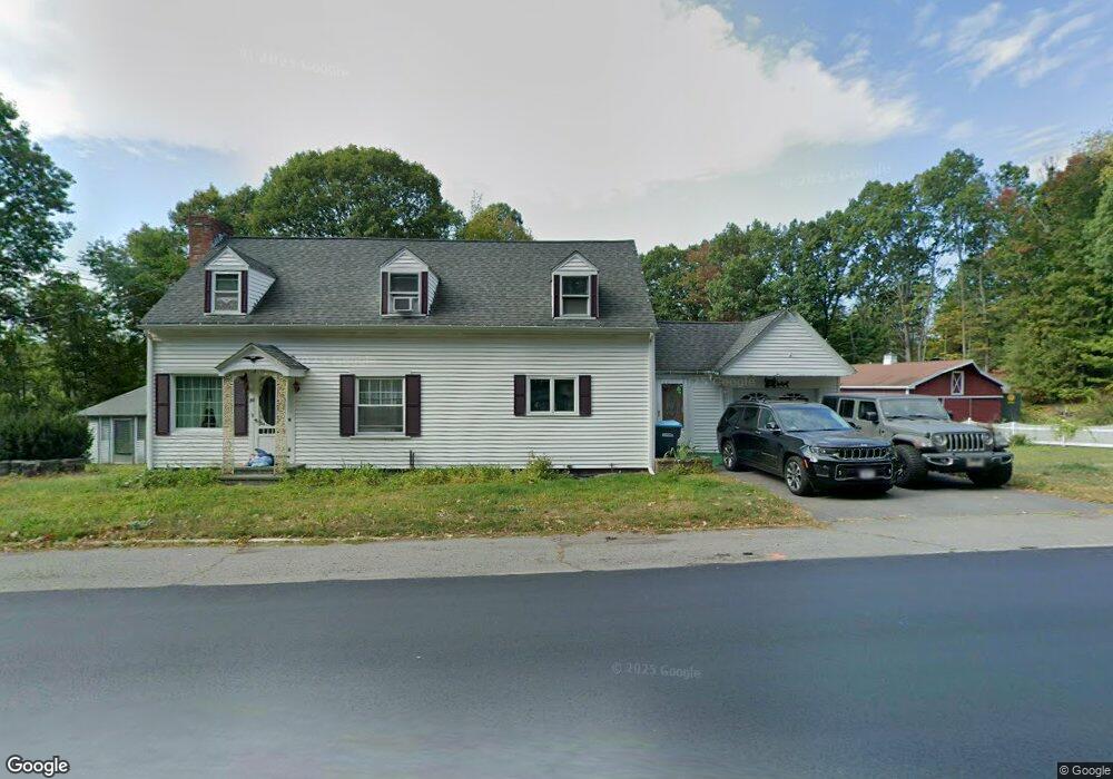
30-32 Pratts Jct Rd Sterling, MA 01564
Estimated Value: $366,000 - $627,000
3
Beds
1
Bath
4,882
Sq Ft
$102/Sq Ft
Est. Value
About This Home
This home is located at 30-32 Pratts Jct Rd, Sterling, MA 01564 and is currently estimated at $497,982, approximately $102 per square foot. 30-32 Pratts Jct Rd is a home located in Worcester County with nearby schools including Wachusett Regional High School, St. Anna Catholic School, and South Lancaster Academy.
Ownership History
Date
Name
Owned For
Owner Type
Purchase Details
Closed on
Feb 15, 2022
Sold by
Pratts Jct Rental Llc
Bought by
Doherty Dorothea G
Current Estimated Value
Purchase Details
Closed on
Dec 29, 2021
Sold by
Doherty Dorothea G
Bought by
Pratts Jct Rental Llc
Purchase Details
Closed on
Jan 14, 2005
Sold by
Doherty Dorothea G
Bought by
Doherty Dennis A
Create a Home Valuation Report for This Property
The Home Valuation Report is an in-depth analysis detailing your home's value as well as a comparison with similar homes in the area
Home Values in the Area
Average Home Value in this Area
Purchase History
| Date | Buyer | Sale Price | Title Company |
|---|---|---|---|
| Doherty Dorothea G | -- | None Available | |
| Pratts Jct Rental Llc | -- | None Available | |
| Doherty Dorothea G | -- | None Available | |
| Pratts Jct Rental Llc | -- | None Available | |
| Doherty Dorothea G | -- | None Available | |
| Doherty Dennis A | -- | -- |
Source: Public Records
Tax History Compared to Growth
Tax History
| Year | Tax Paid | Tax Assessment Tax Assessment Total Assessment is a certain percentage of the fair market value that is determined by local assessors to be the total taxable value of land and additions on the property. | Land | Improvement |
|---|---|---|---|---|
| 2025 | $4,769 | $370,300 | $107,200 | $263,100 |
| 2024 | $4,509 | $338,800 | $107,200 | $231,600 |
| 2023 | $4,480 | $313,300 | $108,400 | $204,900 |
| 2022 | $4,006 | $262,700 | $98,400 | $164,300 |
| 2021 | $4,097 | $248,000 | $96,400 | $151,600 |
| 2020 | $3,855 | $229,300 | $94,300 | $135,000 |
| 2019 | $3,748 | $217,000 | $94,300 | $122,700 |
| 2018 | $3,401 | $193,900 | $88,600 | $105,300 |
| 2017 | $2,977 | $165,100 | $85,100 | $80,000 |
| 2016 | $2,863 | $156,200 | $85,100 | $71,100 |
| 2015 | $2,941 | $170,100 | $87,600 | $82,500 |
| 2014 | $2,787 | $164,600 | $82,100 | $82,500 |
Source: Public Records
Map
Nearby Homes
- 25 N Row Rd
- 121 &125 Flanagan Hill Rd
- 0 Brockelman Rd Unit 73424117
- 97 N Row Rd
- 2 Katie Ln
- 765 Brockelman Rd
- 96 Clinton Rd
- 765 Brockelman Road Lot C
- 28 Sandy Ridge Rd
- 2 Stuart Rd
- 597 Willard St
- 675 Willard St
- 1237 Central St Unit 2
- 1237 Central St Unit 15
- 151 Berrington Rd
- 26 Belview Dr
- 23 Lantern Ln
- 76 Jamestown Rd
- 112 Overlook Dr
- 109 Weathervane Dr
- 30 Pratts Junction Rd
- 32 Pratts Junction Rd
- 26 Pratts Junction Rd
- 26 Pratts Junction Rd Unit A
- 24 Pratts Junction Rd
- 20 Pratts Junction Rd
- 3 Spratt Technology Dr
- 14 Pratts Junction Rd
- 50 Pratts Junction Rd
- 8 Pratts Junction Rd
- 79 Pratts Junction Rd
- 6 Pratts Junction Rd
- 243 Leominster Rd
- 233 Leominster Rd
- Pratts Junction Rd
- 247 Leominster Rd
- Lot 1a Legate Hill Rd
- 30 Flanagan Hill Rd
- 22 Flanagan Hill Rd
- 29 Flanagan Hill Rd