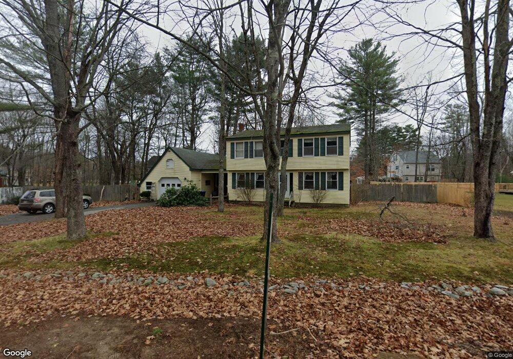
30 Acorn Ln Windham, ME 04062
Estimated Value: $463,000 - $549,000
4
Beds
3
Baths
2,073
Sq Ft
$243/Sq Ft
Est. Value
About This Home
This home is located at 30 Acorn Ln, Windham, ME 04062 and is currently estimated at $503,769, approximately $243 per square foot. 30 Acorn Ln is a home located in Cumberland County with nearby schools including Manchester School, Windham Primary School, and Windham Middle School.
Ownership History
Date
Name
Owned For
Owner Type
Purchase Details
Closed on
Jun 15, 2021
Sold by
Burns James M
Bought by
Burns Therese M
Current Estimated Value
Home Financials for this Owner
Home Financials are based on the most recent Mortgage that was taken out on this home.
Original Mortgage
$117,130
Outstanding Balance
$104,885
Interest Rate
2.9%
Mortgage Type
Purchase Money Mortgage
Estimated Equity
$398,884
Create a Home Valuation Report for This Property
The Home Valuation Report is an in-depth analysis detailing your home's value as well as a comparison with similar homes in the area
Home Values in the Area
Average Home Value in this Area
Purchase History
| Date | Buyer | Sale Price | Title Company |
|---|---|---|---|
| Burns Therese M | -- | None Available |
Source: Public Records
Mortgage History
| Date | Status | Borrower | Loan Amount |
|---|---|---|---|
| Open | Burns Therese M | $117,130 |
Source: Public Records
Tax History
| Year | Tax Paid | Tax Assessment Tax Assessment Total Assessment is a certain percentage of the fair market value that is determined by local assessors to be the total taxable value of land and additions on the property. | Land | Improvement |
|---|---|---|---|---|
| 2025 | $5,941 | $492,600 | $151,600 | $341,000 |
| 2024 | $5,433 | $473,700 | $132,700 | $341,000 |
| 2023 | $5,040 | $450,000 | $123,300 | $326,700 |
| 2022 | $4,668 | $402,100 | $111,500 | $290,600 |
| 2021 | $4,460 | $354,000 | $115,300 | $238,700 |
| 2020 | $4,209 | $280,600 | $90,900 | $189,700 |
| 2019 | $4,109 | $280,700 | $91,000 | $189,700 |
| 2018 | $3,765 | $248,000 | $71,500 | $176,500 |
| 2017 | $3,667 | $223,200 | $64,100 | $159,100 |
| 2016 | $3,504 | $223,200 | $64,100 | $159,100 |
| 2015 | $3,381 | $223,200 | $64,100 | $159,100 |
| 2014 | $3,128 | $223,200 | $64,100 | $159,100 |
| 2013 | -- | $223,200 | $64,100 | $159,100 |
Source: Public Records
Map
Nearby Homes
- 2 Aerie Dr
- 7 Baxter Woods Trail
- 219 Tandberg Trail
- 14 Emerson Dr
- 30 Motorcycle Dr
- 14 Sabbady Point Rd
- 5 Sandbar Rd
- 0 Turning Leaf Dr Unit 1640377
- 1 Matinicus Way Unit 1
- 34 Robin Ln
- 10 Abby Rd
- 7 Aquatic Way Unit 7
- 55 Page Rd
- 404 Pope Rd
- Lot #1 Chamberlain Dr
- 5 Cardinal Ln
- 000 Falmouth Rd
- 81 Hall Rd
- 34 Trails End Rd
- 11 Dragonfly Dr
- 34 Acorn Ln
- 26 Acorn Ln
- 11 Swallow Dr
- 5 Swallow Dr
- 129 Forbes Ln
- 25 Acorn Ln
- 22 Acorn Ln
- 12 Swallow Dr
- 4 Swallow Dr
- 127 Forbes Ln
- 12 Goldfinch Dr
- 19 Acorn Ln
- 126 Forbes Ln
- 12 Acorn Ln
- 170 Varney Mill Rd
- 170 Varney Mill Rd Lot #1
- 170 Varney Mill Rd Lot #2
- 172 Varney Mill Rd
- 48 Forbes Ln
- 29 Stagecoach Ln
Your Personal Tour Guide
Ask me questions while you tour the home.