30 Andrews Farm Rd Greenwich, CT 06831
Back Country Greenwich NeighborhoodEstimated Value: $4,581,000 - $6,520,759
5
Beds
8
Baths
8,688
Sq Ft
$673/Sq Ft
Est. Value
About This Home
This home is located at 30 Andrews Farm Rd, Greenwich, CT 06831 and is currently estimated at $5,849,920, approximately $673 per square foot. 30 Andrews Farm Rd is a home located in Fairfield County with nearby schools including Parkway School, Central Middle School, and Greenwich High School.
Ownership History
Date
Name
Owned For
Owner Type
Purchase Details
Closed on
Dec 21, 2017
Sold by
Li James and Li Elizabeth
Bought by
Huang Yilun
Current Estimated Value
Purchase Details
Closed on
Feb 26, 1998
Sold by
Dileo Vincent P and Dileo Elizabeth J
Bought by
Li James M and Li Elizabeth S
Purchase Details
Closed on
Jun 26, 1995
Sold by
Triangle Rlty Corp
Bought by
Dileo Vincent P and Dileo Elizabeth J
Create a Home Valuation Report for This Property
The Home Valuation Report is an in-depth analysis detailing your home's value as well as a comparison with similar homes in the area
Home Values in the Area
Average Home Value in this Area
Purchase History
| Date | Buyer | Sale Price | Title Company |
|---|---|---|---|
| Huang Yilun | $4,250,000 | -- | |
| Li James M | $3,370,000 | -- | |
| Dileo Vincent P | $900,000 | -- |
Source: Public Records
Tax History Compared to Growth
Tax History
| Year | Tax Paid | Tax Assessment Tax Assessment Total Assessment is a certain percentage of the fair market value that is determined by local assessors to be the total taxable value of land and additions on the property. | Land | Improvement |
|---|---|---|---|---|
| 2025 | $46,354 | $3,850,000 | $639,310 | $3,210,690 |
| 2024 | $45,084 | $3,850,000 | $639,310 | $3,210,690 |
| 2023 | $43,852 | $3,850,000 | $639,310 | $3,210,690 |
| 2022 | $48,000 | $4,255,300 | $639,310 | $3,615,990 |
| 2021 | $40,565 | $3,500,000 | $581,280 | $2,918,720 |
| 2020 | $40,565 | $3,500,000 | $581,280 | $2,918,720 |
| 2019 | $40,880 | $3,500,000 | $581,280 | $2,918,720 |
| 2018 | $51,198 | $4,502,890 | $581,280 | $3,921,610 |
| 2017 | $44,940 | $3,952,550 | $581,280 | $3,371,270 |
| 2016 | $44,269 | $3,952,550 | $581,280 | $3,371,270 |
| 2015 | $44,539 | $3,951,990 | $1,262,100 | $2,689,890 |
| 2014 | $45,236 | $4,123,630 | $1,433,740 | $2,689,890 |
Source: Public Records
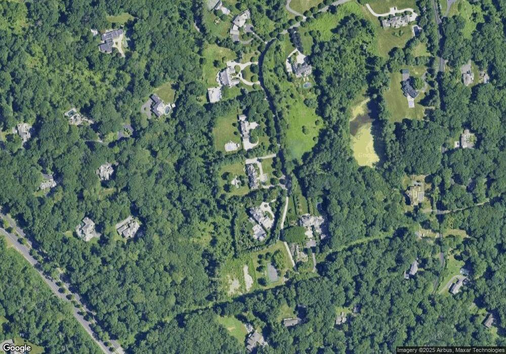
Map
Nearby Homes
- 26 Andrews Farm Rd
- 37 Andrews Farm Rd
- 35 Andrews Farm Rd
- 12 Stallion Trail
- 15 Andrews Farm Rd
- 69 Taconic Rd
- 14 Dewart Rd
- 724 North St
- 537 North St
- 41 Mohawk Ln
- 182 Taconic Rd
- 11 Winterset Rd
- 78 Londonderry Dr
- 230 Taconic Rd
- 411 Stanwich Rd
- 23 Meeting House Rd
- 399 Stanwich Rd
- 10 Carissa Ln
- 6 Reynwood Manor
- 490 North St
- 36 Andrews Farm Rd
- 16 Stallion Trail
- 15 Stallion Trail
- 20 Andrews Farm Rd
- 12 Stallion Tr
- 14 Stallion Trail
- 9 Stallion Trail
- 73 Taconic Rd
- 11 Stallion Trail
- 75 Taconic Rd
- 10 Stallion Trail
- 16 Andrews Farm Rd
- 85 Taconic Rd
- 77 Taconic Rd
- 99 Taconic Rd
- 121 Taconic Lot 5 Rd
- 7 Stallion Trail
- 10 Andrews Farm Rd
- 6 Stallion Trail
- 5 Andrews Farm Rd