30 Arrowhead Farm Rd Boxford, MA 01921
Estimated Value: $1,302,148 - $1,454,000
4
Beds
3
Baths
3,047
Sq Ft
$459/Sq Ft
Est. Value
About This Home
This home is located at 30 Arrowhead Farm Rd, Boxford, MA 01921 and is currently estimated at $1,397,537, approximately $458 per square foot. 30 Arrowhead Farm Rd is a home located in Essex County with nearby schools including Harry Lee Cole and Spofford Pond School.
Ownership History
Date
Name
Owned For
Owner Type
Purchase Details
Closed on
Feb 27, 2021
Sold by
Carnes Anastasiya V and Carnes Barry S
Bought by
30 Arrowhead Farm Rd Ret
Current Estimated Value
Purchase Details
Closed on
Mar 21, 2019
Sold by
Carnes Anastasiya V
Bought by
Carnes Anastasiya V and Carnes Barry S
Purchase Details
Closed on
Dec 12, 2018
Sold by
30 Arrowhead Farm Road Nt
Bought by
Carnes Anastasiya V
Purchase Details
Closed on
Oct 7, 2011
Sold by
Arrowhead Farm Road Rt
Bought by
30 Arrowhead Farm Road
Purchase Details
Closed on
Aug 22, 2006
Sold by
Carnes Barry S
Bought by
Arrowhead Farm Road Rt
Create a Home Valuation Report for This Property
The Home Valuation Report is an in-depth analysis detailing your home's value as well as a comparison with similar homes in the area
Home Values in the Area
Average Home Value in this Area
Purchase History
| Date | Buyer | Sale Price | Title Company |
|---|---|---|---|
| 30 Arrowhead Farm Rd Ret | -- | None Available | |
| Carnes Anastasiya V | -- | -- | |
| Carnes Anastasiya V | -- | -- | |
| 30 Arrowhead Farm Road | -- | -- | |
| Arrowhead Farm Road Rt | -- | -- |
Source: Public Records
Mortgage History
| Date | Status | Borrower | Loan Amount |
|---|---|---|---|
| Previous Owner | Arrowhead Farm Road Rt | $100,000 | |
| Previous Owner | Arrowhead Farm Road Rt | $75,000 |
Source: Public Records
Tax History Compared to Growth
Tax History
| Year | Tax Paid | Tax Assessment Tax Assessment Total Assessment is a certain percentage of the fair market value that is determined by local assessors to be the total taxable value of land and additions on the property. | Land | Improvement |
|---|---|---|---|---|
| 2025 | $16,353 | $1,215,800 | $465,100 | $750,700 |
| 2024 | $15,789 | $1,209,900 | $465,100 | $744,800 |
| 2023 | $15,275 | $1,103,700 | $415,400 | $688,300 |
| 2022 | $15,152 | $995,500 | $347,200 | $648,300 |
| 2021 | $15,123 | $944,600 | $316,200 | $628,400 |
| 2020 | $14,564 | $900,700 | $316,200 | $584,500 |
| 2019 | $14,162 | $869,900 | $301,200 | $568,700 |
| 2018 | $13,921 | $859,300 | $314,100 | $545,200 |
| 2017 | $13,133 | $805,200 | $299,200 | $506,000 |
| 2016 | $13,170 | $800,100 | $299,200 | $500,900 |
| 2015 | $12,376 | $774,000 | $299,200 | $474,800 |
Source: Public Records
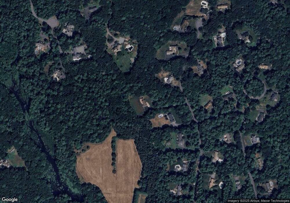
Map
Nearby Homes
- 10 Haymeadow Rd
- 9 Andrews Farm Rd
- 28 Andrews Farm Rd
- 26 Cross Rd
- 4 Wildmeadow Rd
- 18 Boxford Rd
- 20-B Wildmeadow Rd
- 34 Wildmeadow Rd
- 4 Pine Ridge Rd
- 28 Janes Rd
- 76 Parsonage Ln
- 58 Washington St
- 17 Sunrise Rd
- 88 Haverhill Rd
- 2 Lawrence Rd
- 3 Ipswich Rd
- 31 Herrick Rd
- 14 Pond St
- 3 Warren Dr
- 105 Georgetown Rd
- 26 Arrowhead Farm Rd
- 34 Arrowhead Farm Rd
- 20 Arrowhead Farm Rd
- 40 Arrowhead Farm Rd
- 79 Topsfield Rd
- 4 Sedgewick Ln
- 39 Arrowhead Farm Rd
- 18 Arrowhead Farm Rd
- 47B Dana Rd
- 47 Dana Rd
- 10 Sedgewick Ln
- 44 Arrowhead Farm Rd
- 47A Dana Rd
- 22 Forest Ln
- 17 Arrowhead Farm Rd
- 14 Arrowhead Farm Rd
- 41 Arrowhead Farm Rd
- 38 Forest Ln
- 15 Arrowhead Farm Rd
- 47C Dana Rd