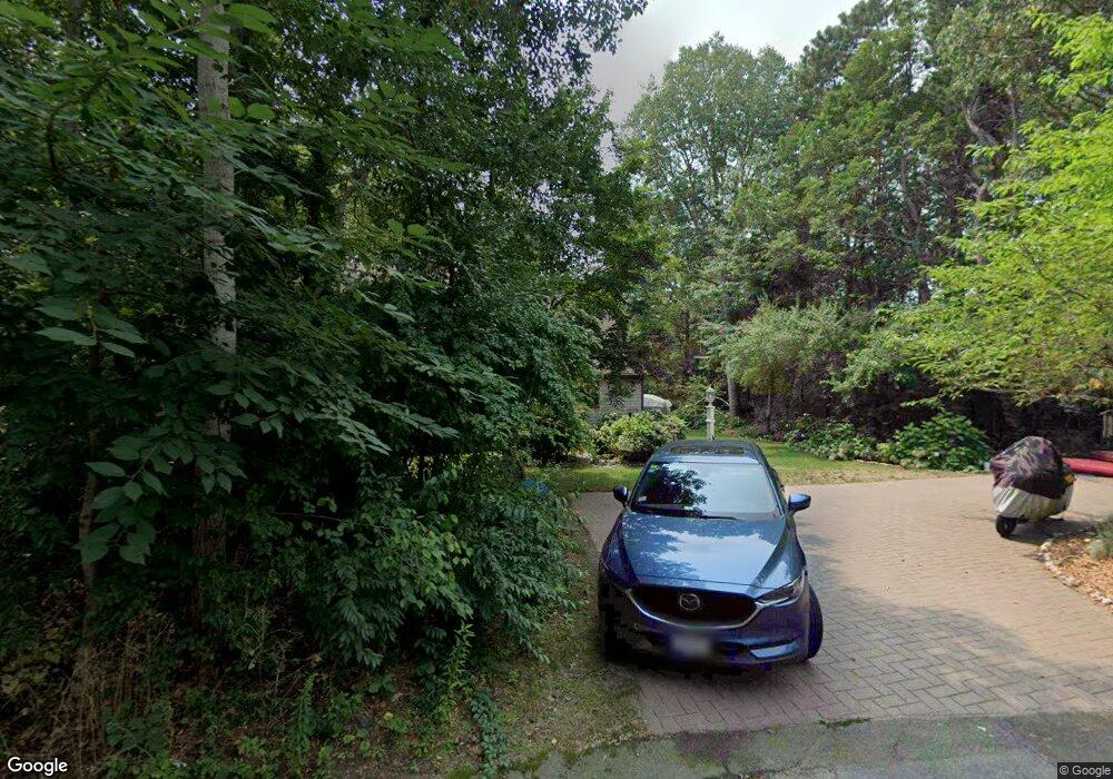
30 Beechwood Ln Wellfleet, MA 02667
Estimated Value: $899,000 - $989,000
3
Beds
2
Baths
1,979
Sq Ft
$474/Sq Ft
Est. Value
About This Home
This home is located at 30 Beechwood Ln, Wellfleet, MA 02667 and is currently estimated at $938,527, approximately $474 per square foot. 30 Beechwood Ln is a home located in Barnstable County with nearby schools including Wellfleet Elementary School, Nauset Regional Middle School, and Nauset Regional High School.
Ownership History
Date
Name
Owned For
Owner Type
Purchase Details
Closed on
Jul 15, 1994
Sold by
Assoc Relocation Mgmt
Bought by
Burke Joseph C and Burke Jean C
Current Estimated Value
Home Financials for this Owner
Home Financials are based on the most recent Mortgage that was taken out on this home.
Original Mortgage
$100,000
Interest Rate
8.51%
Mortgage Type
Purchase Money Mortgage
Purchase Details
Closed on
Jan 26, 1994
Sold by
Manski David and Singer Shira
Bought by
Assoc Relocation Mgt
Purchase Details
Closed on
Jul 9, 1991
Sold by
J & J Rt
Bought by
Manski David and Singer Shira
Create a Home Valuation Report for This Property
The Home Valuation Report is an in-depth analysis detailing your home's value as well as a comparison with similar homes in the area
Home Values in the Area
Average Home Value in this Area
Purchase History
| Date | Buyer | Sale Price | Title Company |
|---|---|---|---|
| Burke Joseph C | $173,000 | -- | |
| Burke Joseph C | $173,000 | -- | |
| Burke Joseph C | $173,000 | -- | |
| Assoc Relocation Mgt | $173,000 | -- | |
| Manski David | $39,500 | -- |
Source: Public Records
Mortgage History
| Date | Status | Borrower | Loan Amount |
|---|---|---|---|
| Closed | Burke Joseph C | $100,000 |
Source: Public Records
Tax History Compared to Growth
Tax History
| Year | Tax Paid | Tax Assessment Tax Assessment Total Assessment is a certain percentage of the fair market value that is determined by local assessors to be the total taxable value of land and additions on the property. | Land | Improvement |
|---|---|---|---|---|
| 2025 | $5,912 | $831,500 | $349,200 | $482,300 |
| 2024 | $5,470 | $800,900 | $332,500 | $468,400 |
| 2023 | $4,885 | $701,900 | $281,800 | $420,100 |
| 2022 | $4,267 | $548,500 | $247,200 | $301,300 |
| 2021 | $3,877 | $493,300 | $220,700 | $272,600 |
| 2020 | $3,816 | $492,400 | $232,300 | $260,100 |
| 2019 | $3,573 | $462,200 | $211,200 | $251,000 |
| 2018 | $3,285 | $457,500 | $211,200 | $246,300 |
| 2017 | $3,088 | $455,500 | $211,200 | $244,300 |
| 2016 | $3,507 | $513,400 | $209,100 | $304,300 |
| 2015 | $3,451 | $509,000 | $207,100 | $301,900 |
Source: Public Records
Map
Nearby Homes
- 256 Browns Neck Rd
- 320 Coles Neck Rd
- 225 Coles Neck Rd
- 20 Bank St
- 10 Bank St
- 260 Kendrick Ave Unit 4
- 35 Holbrook Ave
- 49 Oak Valley Rd
- 164 Kendrick Ave Unit B
- 164 Kendrick Ave Unit C
- 50 Higgins Ln
- 40 Old Long Pond Rd
- 240 Gross Hill Rd
- 30 Harbor View Cir
- 135 Marven Way
- 7 Arrowhead Farm Rd
- 110 Prince Valley Rd
- 65 Belding Way
- 345 Cove Rd
- 100 E Hill Rd
- 25 Beechwood Ln
- 10 Beechwood Ln
- 100 Pole Dike Rd
- 20 Iron Horse Dr
- 5 Beechwood Ln
- 90 Browns Neck Rd
- 16 Iron Horse Dr
- 100 Browns Neck Rd
- 70 Browns Neck Rd
- 20 Browns Neck Rd
- 70 Browns Neck Rd
- 5 Iron Horse Dr
- 99 Pole Dike Rd
- 140 Pole Dike Rd
- 120 Browns Neck Rd
- 85 Pole Dike Rd
- 39 Browns Neck Rd
- 1115 Browns Neck Rd
- 1107 Browns Neck Rd
- 1175 Browns Neck Rd