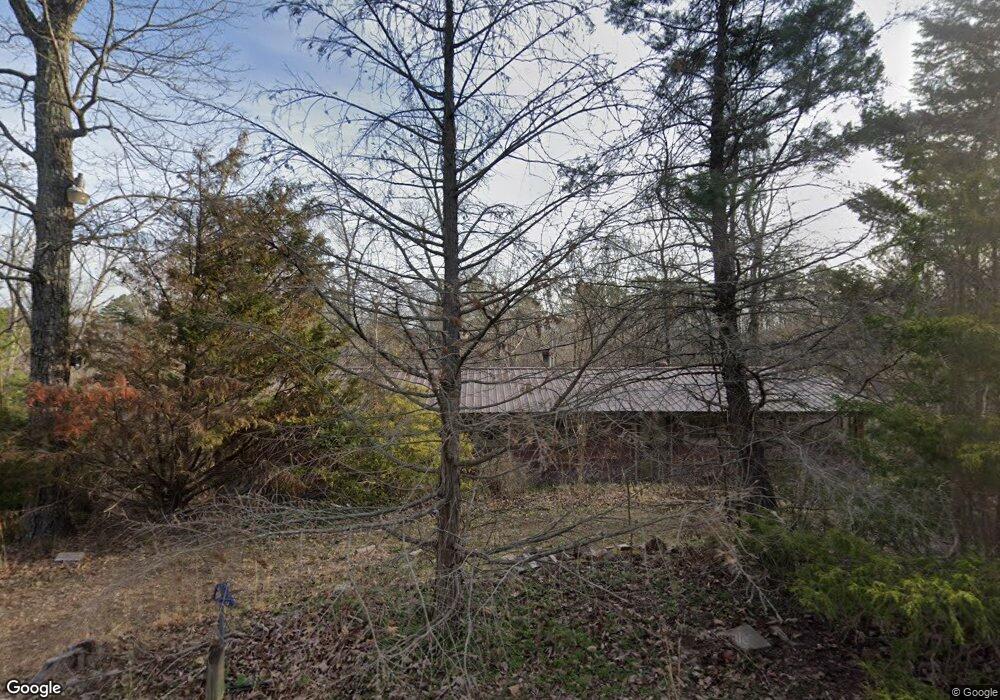
30 Bluebird Ln Sugar Tree, TN 38380
Estimated Value: $42,518 - $142,000
--
Bed
1
Bath
1,032
Sq Ft
$94/Sq Ft
Est. Value
About This Home
This home is located at 30 Bluebird Ln, Sugar Tree, TN 38380 and is currently estimated at $97,380, approximately $94 per square foot. 30 Bluebird Ln is a home located in Decatur County with nearby schools including Parsons Elementary School, Decaturville Elementary School, and Decatur County Middle School.
Ownership History
Date
Name
Owned For
Owner Type
Purchase Details
Closed on
Feb 11, 2022
Sold by
Rollie Williams
Bought by
Gloden Derek
Current Estimated Value
Purchase Details
Closed on
May 17, 2011
Sold by
Tulley Crystal
Bought by
Williams Rollie
Purchase Details
Closed on
Sep 25, 2003
Sold by
Miller Frank
Bought by
Tulley Crystal
Purchase Details
Closed on
Feb 21, 1987
Bought by
Miller Frank
Purchase Details
Closed on
Oct 8, 1982
Purchase Details
Closed on
Jan 1, 1979
Create a Home Valuation Report for This Property
The Home Valuation Report is an in-depth analysis detailing your home's value as well as a comparison with similar homes in the area
Home Values in the Area
Average Home Value in this Area
Purchase History
| Date | Buyer | Sale Price | Title Company |
|---|---|---|---|
| Gloden Derek | $30,000 | Griffin Clift Everton And Masc | |
| Williams Rollie | $18,591 | -- | |
| Tulley Crystal | $39,500 | -- | |
| Miller Frank | -- | -- | |
| -- | -- | -- | |
| -- | $16,000 | -- |
Source: Public Records
Tax History Compared to Growth
Tax History
| Year | Tax Paid | Tax Assessment Tax Assessment Total Assessment is a certain percentage of the fair market value that is determined by local assessors to be the total taxable value of land and additions on the property. | Land | Improvement |
|---|---|---|---|---|
| 2025 | $105 | $6,350 | $0 | $0 |
| 2024 | $105 | $4,075 | $1,625 | $2,450 |
| 2023 | $105 | $4,075 | $1,625 | $2,450 |
| 2022 | $105 | $4,075 | $1,625 | $2,450 |
| 2021 | $105 | $4,075 | $1,625 | $2,450 |
| 2020 | $105 | $4,075 | $1,625 | $2,450 |
| 2019 | $83 | $3,700 | $1,625 | $2,075 |
| 2018 | $74 | $3,700 | $1,625 | $2,075 |
| 2017 | $74 | $3,700 | $1,625 | $2,075 |
| 2016 | $74 | $3,700 | $1,625 | $2,075 |
| 2015 | $74 | $3,700 | $1,625 | $2,075 |
| 2014 | $72 | $3,611 | $0 | $0 |
Source: Public Records
Map
Nearby Homes
- LOTS 17 & 21 Ridgeway Dr
- Lots 17 & 21 Ridgeway Dr
- Lots 49 & 50 Ridgeway Dr
- 793 Ridgeway Dr
- 576 Ridgeway Dr
- 576 Ridgeway Rd
- 294 Ridgeway Dr
- 294 Ridgeway Rd
- 0 Ridgeway Dr Unit RTC2989060
- 0 Ridgeway Dr Unit RTC2914475
- 0 Ridgeway Dr Unit 2502503
- 0 Ridgeway Dr Unit RTC2661622
- 0 River Breeze Dr Unit RTC2821791
- 0 River Breeze Dr Unit 2501777
- 0 River Breeze Dr Unit 10194884
- 2210 Haynes Rd
- 102 Denson Landing Cemetery Rd
- 4428 Deer Creek Rd
- 123 Lower Roans Creek Rd
- 0 Krebs Cir
- 50 Bluebird Ln
- 1884 Ridgeway Dr
- 77 Pine Ridge Ln
- 85 Pine Ridge Ln
- Lot 12 & 14 Pine Ridge Ln
- 72 Pine Ridge Ln
- 0 Pine Ridge Ln Unit 10166347
- 0 Pine Ridge Ln Unit RTC2446158
- 1966 Ridgeway Dr
- 1966 Ridgeway Dr
- 1966 Ridgeway Dr
- 1966 Ridgeway Dr
- 884 Skyline Dr
- 1784 Ridgeway Dr
- 1990 Ridgeway Dr
- 2012 Ridgeway Dr
- 2030 Ridgeway Dr
- 38 Pine Ridge Cove
- 1770 Ridgeway Dr
- 2065 Ridgeway Dr