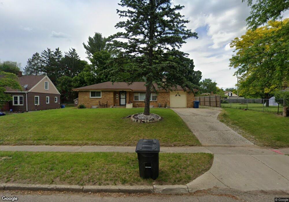
30 Boyd St Battle Creek, MI 49037
North Central NeighborhoodEstimated Value: $149,000 - $193,874
3
Beds
2
Baths
1,193
Sq Ft
$142/Sq Ft
Est. Value
About This Home
This home is located at 30 Boyd St, Battle Creek, MI 49037 and is currently estimated at $168,969, approximately $141 per square foot. 30 Boyd St is a home located in Calhoun County with nearby schools including Dudley School, Northwestern Middle School, and Battle Creek Central High School.
Ownership History
Date
Name
Owned For
Owner Type
Purchase Details
Closed on
Apr 27, 2021
Sold by
Qualls Ivory L
Bought by
Qualls Michael D and Qualls Gabriel D
Current Estimated Value
Purchase Details
Closed on
Jul 24, 2001
Sold by
Ruth Consuelo A and Ruth Stanton John D
Bought by
Qualls Ivory L
Purchase Details
Closed on
Nov 28, 2000
Sold by
Ruth Consuelo A
Bought by
Ruth Consuelo A and Ruth Staton,John D
Purchase Details
Closed on
Mar 14, 2000
Sold by
Staton John D
Bought by
Ruth Consuelo A and Ruth Staton,John D
Purchase Details
Closed on
Nov 15, 1999
Sold by
Ruth Consuelo A
Bought by
Staton John D
Purchase Details
Closed on
Sep 15, 1999
Sold by
Ruth William E
Create a Home Valuation Report for This Property
The Home Valuation Report is an in-depth analysis detailing your home's value as well as a comparison with similar homes in the area
Home Values in the Area
Average Home Value in this Area
Purchase History
| Date | Buyer | Sale Price | Title Company |
|---|---|---|---|
| Qualls Michael D | -- | None Available | |
| Qualls Ivory L | $84,900 | -- | |
| Ruth Consuelo A | -- | -- | |
| Ruth Consuelo A | -- | -- | |
| Staton John D | -- | -- | |
| -- | -- | -- |
Source: Public Records
Tax History Compared to Growth
Tax History
| Year | Tax Paid | Tax Assessment Tax Assessment Total Assessment is a certain percentage of the fair market value that is determined by local assessors to be the total taxable value of land and additions on the property. | Land | Improvement |
|---|---|---|---|---|
| 2025 | -- | $93,300 | $0 | $0 |
| 2024 | $1,821 | $89,552 | $0 | $0 |
| 2023 | $2,082 | $73,261 | $0 | $0 |
| 2022 | $1,645 | $65,633 | $0 | $0 |
| 2021 | $1,964 | $62,615 | $0 | $0 |
| 2020 | $1,847 | $61,795 | $0 | $0 |
| 2019 | $1,847 | $52,793 | $0 | $0 |
| 2018 | $1,847 | $56,414 | $1,448 | $54,966 |
| 2017 | $1,784 | $55,267 | $0 | $0 |
| 2016 | $1,780 | $46,205 | $0 | $0 |
| 2015 | $1,744 | $42,080 | $4,421 | $37,659 |
| 2014 | $1,744 | $37,846 | $4,421 | $33,425 |
Source: Public Records
Map
Nearby Homes
- 11 Coolidge Ave W
- 161 Wilds Ave
- 69 Coolidge Ave W
- 62 Coolidge Ave W
- V/L Parkview Ave
- 706 Washington Ave N
- 561 Garrison Rd
- 225 Eastwood Dr
- 52 Roseneath Ave
- 341 Algonquin St
- 5 Beglin Ct
- 435 Kendall St N
- 6329 Purdy Dr
- 904 Washington Ave N
- 104 Calico Ln
- 46 Walter Ave
- 266 North Ave
- 188 Roseneath Ave
- 216 Kendall St N
- 51 Latta St