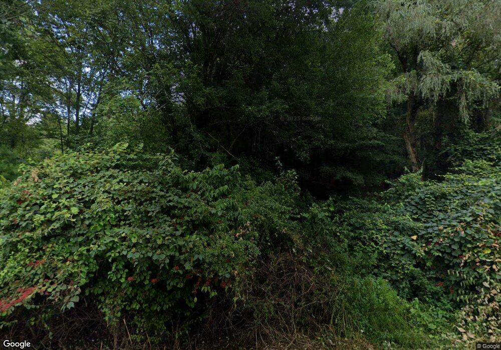
30 Brockway Ferry Rd Unit B Old Lyme, CT 06371
Estimated Value: $924,250 - $1,298,000
4
Beds
2
Baths
2,248
Sq Ft
$486/Sq Ft
Est. Value
About This Home
This home is located at 30 Brockway Ferry Rd Unit B, Old Lyme, CT 06371 and is currently estimated at $1,093,063, approximately $486 per square foot. 30 Brockway Ferry Rd Unit B is a home located in New London County with nearby schools including Lyme Consolidated School, Lyme-Old Lyme Middle School, and Lyme-Old Lyme High School.
Ownership History
Date
Name
Owned For
Owner Type
Purchase Details
Closed on
Apr 18, 2024
Sold by
Martin William S
Bought by
William Martin Ret 4 18 2 and Martin
Current Estimated Value
Purchase Details
Closed on
Jul 24, 1996
Sold by
Sammartino Christine
Bought by
Ambrose C Clark
Create a Home Valuation Report for This Property
The Home Valuation Report is an in-depth analysis detailing your home's value as well as a comparison with similar homes in the area
Home Values in the Area
Average Home Value in this Area
Purchase History
| Date | Buyer | Sale Price | Title Company |
|---|---|---|---|
| William Martin Ret 4 18 2 | -- | None Available | |
| William Martin Ret 4 18 2 | -- | None Available | |
| Ambrose C Clark | $425,000 | -- | |
| Clark Ambrose C | $425,000 | -- |
Source: Public Records
Tax History Compared to Growth
Tax History
| Year | Tax Paid | Tax Assessment Tax Assessment Total Assessment is a certain percentage of the fair market value that is determined by local assessors to be the total taxable value of land and additions on the property. | Land | Improvement |
|---|---|---|---|---|
| 2025 | $12,416 | $856,300 | $702,100 | $154,200 |
| 2024 | $12,416 | $856,300 | $702,100 | $154,200 |
| 2023 | $12,143 | $622,700 | $500,700 | $122,000 |
| 2022 | $12,423 | $622,700 | $500,700 | $122,000 |
| 2021 | $12,423 | $622,700 | $500,700 | $122,000 |
| 2020 | $12,423 | $622,700 | $500,700 | $122,000 |
| 2019 | $17,957 | $622,700 | $500,700 | $122,000 |
| 2018 | $14,342 | $771,100 | $642,000 | $129,100 |
| 2017 | $14,073 | $771,100 | $642,000 | $129,100 |
| 2016 | $14,073 | $771,100 | $642,000 | $129,100 |
| 2015 | $13,687 | $771,100 | $642,000 | $129,100 |
| 2014 | $13,109 | $771,100 | $642,000 | $129,100 |
Source: Public Records
Map
Nearby Homes
- 41 Joshua Ln
- 274 Joshuatown Rd
- 155 Joshuatown Rd
- 17 Lookout Hill
- 41B River Rd
- 85 River Rd Unit B7
- 85 River Rd Unit J6
- 117 Elys Ferry Rd
- 109 Elys Ferry Rd
- 95 Cove Rd
- 7 Foxboro Rd
- 66 Cove Rd
- 89 Book Hill Rd
- 132 Tantumorantum Rd
- 153 Mitchell Hill Rd
- 1 Foxboro Rd
- 89 Brush Hill Rd
- 53 Elys Ferry Rd
- 13 Maple Ave
- 60 N Main St
- 30 Brockway Ferry Rd Unit A
- 30 Brockway Ferry Rd
- 30-2 Brockway Ferry Rd
- 34 Brockway Ferry Rd
- 70 Brockway Ferry Rd
- 30-1 Brockway Ferry Rd
- 68 Brockway Ferry Rd
- 40 Brockway Ferry Rd
- 44 Brockway Ferry Rd
- 48 Brockway Ferry Rd
- 59 Brockway Ferry Rd
- 52 Brockway Ferry Rd
- 41 Brockway Ferry Rd
- 55 Brockway Ferry Rd
- 27 Brockway Ferry Rd
- 18 Brockway Ferry Rd
- 33-2 Joshua Ln
- 33 Joshua Ln
- 27 Joshua Ln
- 4 Brockway Ferry Rd
