30 Bruin Hill Rd North Andover, MA 01845
Estimated Value: $855,680 - $919,000
3
Beds
3
Baths
1,729
Sq Ft
$514/Sq Ft
Est. Value
About This Home
This home is located at 30 Bruin Hill Rd, North Andover, MA 01845 and is currently estimated at $888,920, approximately $514 per square foot. 30 Bruin Hill Rd is a home located in Essex County with nearby schools including Kittredge Elementary School, North Andover Middle School, and North Andover High School.
Ownership History
Date
Name
Owned For
Owner Type
Purchase Details
Closed on
Nov 1, 1996
Sold by
Harrington Robert A
Bought by
Ferruolo Albert J
Current Estimated Value
Purchase Details
Closed on
Mar 29, 1995
Sold by
Koulouris Dean W
Bought by
Harrington Robert
Create a Home Valuation Report for This Property
The Home Valuation Report is an in-depth analysis detailing your home's value as well as a comparison with similar homes in the area
Home Values in the Area
Average Home Value in this Area
Purchase History
| Date | Buyer | Sale Price | Title Company |
|---|---|---|---|
| Ferruolo Albert J | $265,000 | -- | |
| Harrington Robert | $250,000 | -- |
Source: Public Records
Mortgage History
| Date | Status | Borrower | Loan Amount |
|---|---|---|---|
| Open | Harrington Robert | $110,000 | |
| Closed | Harrington Robert | $25,000 |
Source: Public Records
Tax History Compared to Growth
Tax History
| Year | Tax Paid | Tax Assessment Tax Assessment Total Assessment is a certain percentage of the fair market value that is determined by local assessors to be the total taxable value of land and additions on the property. | Land | Improvement |
|---|---|---|---|---|
| 2025 | $8,987 | $798,100 | $425,800 | $372,300 |
| 2024 | $8,763 | $790,200 | $404,000 | $386,200 |
| 2023 | $8,269 | $675,600 | $341,100 | $334,500 |
| 2022 | $8,182 | $604,700 | $310,600 | $294,100 |
| 2021 | $8,168 | $576,400 | $282,300 | $294,100 |
| 2020 | $7,773 | $565,700 | $282,300 | $283,400 |
| 2019 | $7,586 | $565,700 | $282,300 | $283,400 |
| 2018 | $8,220 | $565,700 | $282,300 | $283,400 |
| 2017 | $7,183 | $503,000 | $221,000 | $282,000 |
| 2016 | $7,086 | $496,600 | $219,700 | $276,900 |
| 2015 | $6,792 | $472,000 | $216,200 | $255,800 |
Source: Public Records
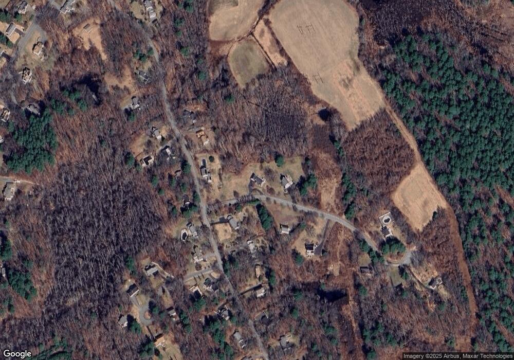
Map
Nearby Homes
- 121 Cortland Dr
- 121 Cortland Dr Unit 121
- 56 Meadowview Rd
- 20 Highwood Way
- 499 Main St
- 894 Great Pond Rd
- 234 Brentwood Cir
- Lot 5A Essex St
- 26 Bayns Hill Rd
- 590 Foster St
- 7 Kimball Rd
- 179 Washington St
- 65 Saile Way
- 125 Lancaster Rd
- 43 Belvedere Rd
- 240 Dale St
- 50 Rocky Brook Rd
- 155 Duncan Dr
- 266 Washington St
- 27 Marbleridge Rd