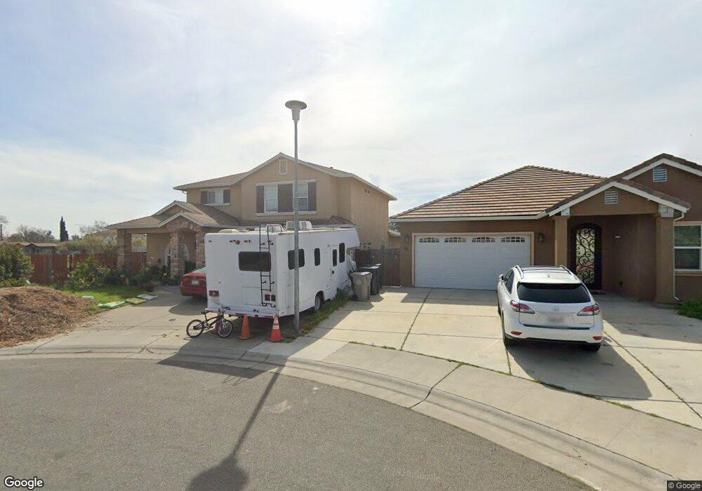
30 Bunratty Ct Sacramento, CA 95824
Avondale NeighborhoodEstimated Value: $498,970 - $540,000
5
Beds
2
Baths
2,313
Sq Ft
$226/Sq Ft
Est. Value
About This Home
This home is located at 30 Bunratty Ct, Sacramento, CA 95824 and is currently estimated at $523,243, approximately $226 per square foot. 30 Bunratty Ct is a home located in Sacramento County with nearby schools including Earl Warren Elementary School, Will C. Wood Middle School, and Hiram W. Johnson High School.
Ownership History
Date
Name
Owned For
Owner Type
Purchase Details
Closed on
Nov 19, 2013
Sold by
Tang Phu
Bought by
Tang Erica N
Current Estimated Value
Home Financials for this Owner
Home Financials are based on the most recent Mortgage that was taken out on this home.
Original Mortgage
$146,500
Outstanding Balance
$108,247
Interest Rate
4.23%
Mortgage Type
New Conventional
Estimated Equity
$414,996
Purchase Details
Closed on
Oct 27, 2008
Sold by
Greeley Robert C
Bought by
Tang Eric The
Home Financials for this Owner
Home Financials are based on the most recent Mortgage that was taken out on this home.
Original Mortgage
$183,750
Interest Rate
5.77%
Mortgage Type
Purchase Money Mortgage
Create a Home Valuation Report for This Property
The Home Valuation Report is an in-depth analysis detailing your home's value as well as a comparison with similar homes in the area
Home Values in the Area
Average Home Value in this Area
Purchase History
| Date | Buyer | Sale Price | Title Company |
|---|---|---|---|
| Tang Erica N | -- | Placer Title Company | |
| Tang Erica N | $170,000 | Placer Title Company | |
| Tang Eric The | $245,000 | Old Republic Title Company |
Source: Public Records
Mortgage History
| Date | Status | Borrower | Loan Amount |
|---|---|---|---|
| Open | Tang Erica N | $146,500 | |
| Closed | Tang Erica N | $15,000 | |
| Closed | Tang Eric The | $183,750 |
Source: Public Records
Tax History
| Year | Tax Paid | Tax Assessment Tax Assessment Total Assessment is a certain percentage of the fair market value that is determined by local assessors to be the total taxable value of land and additions on the property. | Land | Improvement |
|---|---|---|---|---|
| 2025 | $3,683 | $275,807 | $73,545 | $202,262 |
| 2024 | $3,683 | $270,400 | $72,103 | $198,297 |
| 2023 | $3,579 | $265,099 | $70,690 | $194,409 |
| 2022 | $3,506 | $259,902 | $69,304 | $190,598 |
| 2021 | $3,341 | $254,807 | $67,946 | $186,861 |
| 2020 | $3,350 | $252,195 | $67,250 | $184,945 |
| 2019 | $3,272 | $247,251 | $65,932 | $181,319 |
| 2018 | $3,184 | $242,404 | $64,640 | $177,764 |
| 2017 | $3,135 | $237,652 | $63,373 | $174,279 |
| 2016 | $3,081 | $232,993 | $62,131 | $170,862 |
| 2015 | $3,037 | $229,494 | $61,198 | $168,296 |
| 2014 | $2,780 | $225,000 | $60,000 | $165,000 |
Source: Public Records
Map
Nearby Homes
- 24 Bunratty Ct
- 18 Bunratty Ct
- 12 Bunratty Ct
- 5701 Enniskillen Way
- 29 Bunratty Ct
- 23 Bunratty Ct
- 6 Bunratty Ct
- 17 Bunratty Ct
- 11 Bunratty Ct
- 5726 71st St
- 5 Bunratty Ct
- 6810 Bunratty Way
- 12 Enniskillen Ct
- 5710 71st St
- 18 Enniskillen Ct
- 5705 66th St
- 6800 Bunratty Way
- 5720 71st St
- 5680 71st St
- 5660 71st St
Your Personal Tour Guide
Ask me questions while you tour the home.