30 Burberry Cir Broken Bow, OK 74728
Estimated Value: $500,000 - $608,386
2
Beds
2
Baths
1,069
Sq Ft
$522/Sq Ft
Est. Value
About This Home
This home is located at 30 Burberry Cir, Broken Bow, OK 74728 and is currently estimated at $558,097, approximately $522 per square foot. 30 Burberry Cir is a home with nearby schools including Dierks Elementary School, Bennett Elementary School, and Rector Johnson Middle School.
Ownership History
Date
Name
Owned For
Owner Type
Purchase Details
Closed on
Dec 21, 2021
Sold by
Xs And Os Llc
Bought by
Shaw Patrick and Shaw Deborah
Current Estimated Value
Home Financials for this Owner
Home Financials are based on the most recent Mortgage that was taken out on this home.
Original Mortgage
$490,000
Outstanding Balance
$448,878
Interest Rate
3.12%
Mortgage Type
New Conventional
Estimated Equity
$109,219
Purchase Details
Closed on
Jan 22, 2021
Sold by
X S And O S Llc
Bought by
Carter Michael W and Carter Ronda L
Home Financials for this Owner
Home Financials are based on the most recent Mortgage that was taken out on this home.
Original Mortgage
$298,000
Interest Rate
2.67%
Mortgage Type
New Conventional
Purchase Details
Closed on
Oct 26, 2019
Sold by
Carter Michael W and Carter Ronda L
Bought by
X S And O S Llc
Purchase Details
Closed on
Mar 10, 2017
Sold by
Eagle Mountain Land And Development Corp
Bought by
Moreland Jeff and Conner Carla A
Create a Home Valuation Report for This Property
The Home Valuation Report is an in-depth analysis detailing your home's value as well as a comparison with similar homes in the area
Home Values in the Area
Average Home Value in this Area
Purchase History
| Date | Buyer | Sale Price | Title Company |
|---|---|---|---|
| Shaw Patrick | $612,500 | None Available | |
| Carter Michael W | -- | None Available | |
| X S And O S Llc | -- | None Available | |
| Moreland Jeff | $69,500 | None Available |
Source: Public Records
Mortgage History
| Date | Status | Borrower | Loan Amount |
|---|---|---|---|
| Open | Shaw Patrick | $490,000 | |
| Previous Owner | Carter Michael W | $298,000 |
Source: Public Records
Tax History
| Year | Tax Paid | Tax Assessment Tax Assessment Total Assessment is a certain percentage of the fair market value that is determined by local assessors to be the total taxable value of land and additions on the property. | Land | Improvement |
|---|---|---|---|---|
| 2025 | $5,589 | $67,021 | $12,759 | $54,262 |
| 2024 | $5,619 | $67,375 | $12,759 | $54,616 |
| 2023 | $5,525 | $67,375 | $7,645 | $59,730 |
| 2022 | $3,277 | $39,963 | $7,645 | $32,318 |
| 2021 | $3,068 | $38,060 | $7,645 | $30,415 |
| 2020 | $3,093 | $38,060 | $7,645 | $30,415 |
| 2019 | $3,107 | $38,060 | $7,645 | $30,415 |
| 2018 | $3,142 | $38,060 | $5,500 | $32,560 |
| 2017 | $206 | $2,472 | $2,472 | $0 |
Source: Public Records
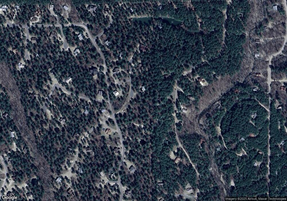
Map
Nearby Homes
- 62 Coffee Tree Trail
- 113 Ridgeline Trail
- 411 Deer Creek Trail
- 562 Timber Creek Trail
- 243 Deer Creek Trail
- 274 Eagle Mountain Trail E
- 88 Bent Pine Trail
- 51 White Tail Cir
- 28 Mossy Oak Trail
- 686 Timber Creek Trails South XI
- 662 Timber Creek Trails South XI
- 776 Timber Creek Trails South XI
- 772 Timber Creek Trails South XI
- 710 Timber Creek Trails South XI
- 708 Timber Creek Trails South XI
- 774 Timber Creek Trails South XI
- 676 Timber Creek Trails South XI
- 712 Timber Creek Trails South XI
- 762 Timber Creek Trails South XI
- 656 Timber Creek Trails South XI
- 263 High Peak Trail
- 241 High Peak Trail
- 70 Burberry Cir
- 200 Timber Creek Trail
- 237 High Peak
- 278 High Peak Trail
- 17 Burberry Trail
- 134 Timber Creek Trail
- 262 High Peak Trail
- 191 High Peak Trail
- 406 Eagle Mountain Trail E
- 278 High Peak Trail
- 303 High Peak Trail
- 145 Wildcat Trail
- 25 Mcdaniel Spur
- 27 Eagle Mountain Trail E
- 461 Eagle Mountain Trail E
- 757 Eagle Mountain Trail E
- 489 Eagle Mountain Trail E
- 0 Eagle Mountain Trail E Unit Lots 49&50 901732
Your Personal Tour Guide
Ask me questions while you tour the home.