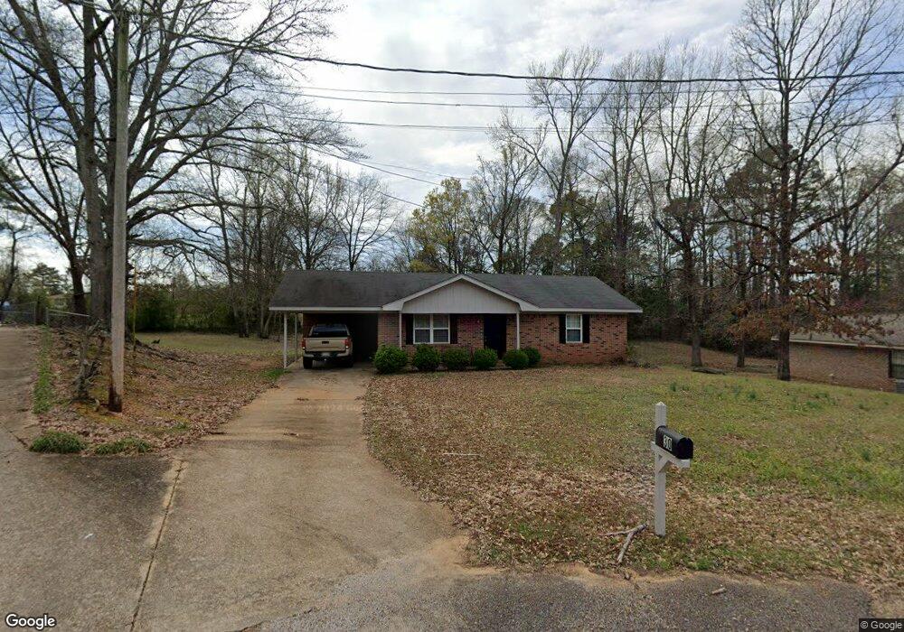
30 Cedar Cove Columbus, MS 39702
Estimated Value: $120,907 - $141,000
Studio
1
Bath
1,067
Sq Ft
$123/Sq Ft
Est. Value
About This Home
This home is located at 30 Cedar Cove, Columbus, MS 39702 and is currently estimated at $131,477, approximately $123 per square foot. 30 Cedar Cove is a home.
Ownership History
Date
Name
Owned For
Owner Type
Purchase Details
Closed on
Jul 6, 2021
Sold by
Conn Deborah K
Bought by
Gable Christopher H
Current Estimated Value
Home Financials for this Owner
Home Financials are based on the most recent Mortgage that was taken out on this home.
Original Mortgage
$85,300
Outstanding Balance
$77,229
Interest Rate
2.9%
Mortgage Type
Stand Alone Refi Refinance Of Original Loan
Estimated Equity
$54,248
Purchase Details
Closed on
Jan 2, 2008
Sold by
Mcintosh Thomas R and Mcintosh Stacy R
Bought by
Conn Deborah K
Home Financials for this Owner
Home Financials are based on the most recent Mortgage that was taken out on this home.
Original Mortgage
$63,300
Interest Rate
6.05%
Purchase Details
Closed on
Jan 14, 2005
Sold by
Strickland Troy and Strickland Kathryn
Bought by
Mcintosh Thomas R and Mcintosh Stacy R
Create a Home Valuation Report for This Property
The Home Valuation Report is an in-depth analysis detailing your home's value as well as a comparison with similar homes in the area
Purchase History
| Date | Buyer | Sale Price | Title Company |
|---|---|---|---|
| Gable Christopher H | -- | None Available | |
| Conn Deborah K | -- | -- | |
| Mcintosh Thomas R | -- | -- |
Source: Public Records
Mortgage History
| Date | Status | Borrower | Loan Amount |
|---|---|---|---|
| Open | Gable Christopher H | $85,300 | |
| Previous Owner | Conn Deborah K | $63,300 |
Source: Public Records
Tax History
| Year | Tax Paid | Tax Assessment Tax Assessment Total Assessment is a certain percentage of the fair market value that is determined by local assessors to be the total taxable value of land and additions on the property. | Land | Improvement |
|---|---|---|---|---|
| 2025 | $785 | $8,027 | $0 | $0 |
| 2024 | $779 | $8,027 | $0 | $0 |
| 2023 | $700 | $7,241 | $0 | $0 |
| 2022 | $700 | $7,241 | $0 | $0 |
| 2021 | $252 | $4,827 | $0 | $0 |
| 2020 | $227 | $4,827 | $0 | $0 |
| 2019 | $238 | $4,802 | $0 | $0 |
| 2018 | $238 | $4,742 | $0 | $0 |
| 2017 | $219 | $4,742 | $0 | $0 |
| 2016 | $219 | $4,742 | $0 | $0 |
| 2015 | $230 | $5,000 | $0 | $0 |
| 2014 | $230 | $5,000 | $0 | $0 |
Source: Public Records
Map
Nearby Homes
- 7014 Highway 50 E
- 406 Pleasant Hill Rd
- 2362 Tabernacle Rd
- 24 Lacy Rd
- 72 Colby Ln
- 72 N Colby Ln
- 385 Ginger Ln
- 0 Gunshoot Rd
- 2746 Phillips Hill Rd
- 127 E Cherry St
- 83 Bowling Green Cir
- 36 Dustin Rd
- 159 Lenox Ln
- 142 Lenox Ln
- 29 Lenox Ln
- 0 Sand Rd
- 3559 Mississippi 50
- 432 Old Country Ln
- 3816 Sand Rd
- 0 Pierce Rd
Your Personal Tour Guide
Ask me questions while you tour the home.