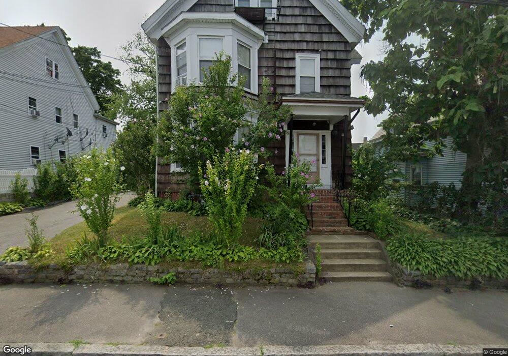
30 Davids St Brockton, MA 02301
Clifton Heights NeighborhoodEstimated Value: $757,000 - $833,000
4
Beds
3
Baths
2,788
Sq Ft
$287/Sq Ft
Est. Value
About This Home
This home is located at 30 Davids St, Brockton, MA 02301 and is currently estimated at $801,000, approximately $287 per square foot. 30 Davids St is a home located in Plymouth County with nearby schools including Gilmore Elementary School, John F. Kennedy Elementary School, and Davis K-8 School.
Ownership History
Date
Name
Owned For
Owner Type
Purchase Details
Closed on
Oct 28, 2019
Sold by
Amado Manuel B and Pires Maria T
Bought by
Amado Manuel B and Pires Maria T
Current Estimated Value
Purchase Details
Closed on
Jul 2, 2008
Sold by
Amado Manuel B
Bought by
Amado Manuel B and Pires Maria T
Home Financials for this Owner
Home Financials are based on the most recent Mortgage that was taken out on this home.
Original Mortgage
$151,000
Interest Rate
6.01%
Mortgage Type
Purchase Money Mortgage
Purchase Details
Closed on
Jul 1, 1993
Sold by
Lyon Bernice Est
Bought by
Amado Manuel B
Create a Home Valuation Report for This Property
The Home Valuation Report is an in-depth analysis detailing your home's value as well as a comparison with similar homes in the area
Home Values in the Area
Average Home Value in this Area
Purchase History
| Date | Buyer | Sale Price | Title Company |
|---|---|---|---|
| Amado Manuel B | -- | -- | |
| Amado Manuel B | -- | -- | |
| Amado Manuel B | -- | -- | |
| Amado Manuel B | -- | -- | |
| Amado Manuel B | $40,000 | -- | |
| Amado Manuel B | $40,000 | -- |
Source: Public Records
Mortgage History
| Date | Status | Borrower | Loan Amount |
|---|---|---|---|
| Previous Owner | Amado Manuel B | $151,000 |
Source: Public Records
Tax History
| Year | Tax Paid | Tax Assessment Tax Assessment Total Assessment is a certain percentage of the fair market value that is determined by local assessors to be the total taxable value of land and additions on the property. | Land | Improvement |
|---|---|---|---|---|
| 2025 | $7,867 | $649,600 | $137,900 | $511,700 |
| 2024 | $7,686 | $639,400 | $137,900 | $501,500 |
| 2023 | $7,885 | $607,500 | $102,900 | $504,600 |
| 2022 | $7,252 | $519,100 | $93,400 | $425,700 |
| 2021 | $6,658 | $459,200 | $77,300 | $381,900 |
| 2020 | $5,787 | $382,000 | $72,700 | $309,300 |
| 2019 | $6,343 | $408,200 | $70,600 | $337,600 |
| 2018 | $5,435 | $320,500 | $70,600 | $249,900 |
| 2017 | $5,273 | $327,500 | $70,600 | $256,900 |
| 2016 | $4,656 | $268,200 | $68,400 | $199,800 |
| 2015 | $3,910 | $215,400 | $68,400 | $147,000 |
| 2014 | $3,737 | $206,100 | $68,400 | $137,700 |
Source: Public Records
Map
Nearby Homes
- 30 Davids St Unit 2
- 34 Davids St
- 26 Davids Sr Unit 2
- 26 Davids St
- 26 Davids St Unit 2
- 25 Davids St
- 60 Laureston St
- 22 Davids St
- 0 Davids St
- 29 Davids St
- 29 Davids St Unit 1
- 29 Davids St Unit 2
- 29 Davids St Unit 3
- 33 Davids St
- 13 Sheppard Ave
- 11 Sheppard Ave
- 9 Sheppard Ave
- 9 Sheppard Ave Unit 9
- 13 Sheppard Ave Unit 13
- 7 Sheppard Ave
Your Personal Tour Guide
Ask me questions while you tour the home.