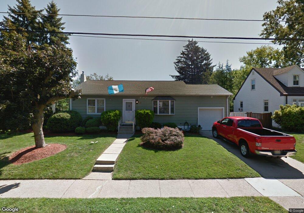
30 Dawes Ave Ewing, NJ 08638
Prospect NeighborhoodEstimated Value: $353,000 - $395,000
Studio
--
Bath
1,364
Sq Ft
$275/Sq Ft
Est. Value
About This Home
This home is located at 30 Dawes Ave, Ewing, NJ 08638 and is currently estimated at $375,376, approximately $275 per square foot. 30 Dawes Ave is a home located in Mercer County with nearby schools including Ewing High School, Paul Robeson Charter School For The Humanities, and Trenton Stem-To-Civics Charter School.
Ownership History
Date
Name
Owned For
Owner Type
Purchase Details
Closed on
Aug 29, 2007
Sold by
Exrx Barbara Abbott
Bought by
Ordonez Daniel
Current Estimated Value
Home Financials for this Owner
Home Financials are based on the most recent Mortgage that was taken out on this home.
Original Mortgage
$241,544
Outstanding Balance
$154,023
Interest Rate
6.71%
Mortgage Type
New Conventional
Estimated Equity
$221,353
Purchase Details
Closed on
May 29, 1992
Sold by
Morello Louis J and Morello Winifred
Bought by
Tossie Arthur L and Tossie Barbara A
Create a Home Valuation Report for This Property
The Home Valuation Report is an in-depth analysis detailing your home's value as well as a comparison with similar homes in the area
Home Values in the Area
Average Home Value in this Area
Purchase History
| Date | Buyer | Sale Price | Title Company |
|---|---|---|---|
| Ordonez Daniel | $250,500 | -- | |
| Tossie Arthur L | $133,000 | -- |
Source: Public Records
Mortgage History
| Date | Status | Borrower | Loan Amount |
|---|---|---|---|
| Open | Ordonez Daniel | $241,544 |
Source: Public Records
Tax History
| Year | Tax Paid | Tax Assessment Tax Assessment Total Assessment is a certain percentage of the fair market value that is determined by local assessors to be the total taxable value of land and additions on the property. | Land | Improvement |
|---|---|---|---|---|
| 2025 | $8,086 | $205,600 | $59,900 | $145,700 |
| 2024 | $7,601 | $205,600 | $59,900 | $145,700 |
Source: Public Records
Map
Nearby Homes
- 32 Stoneham Rd
- 7 Mabel St
- 1625 6th St
- 41 Poland St
- 33 Sherbrooke Rd
- 56 Sherbrooke Rd
- 16 Bittersweet Rd
- 17 Hillman Ave
- 24 Keswick Ave
- 91 Groveland Ave
- 124 Hawthorne Ave
- 43 Iowana Ave
- 50 Groveland Ave
- 200 Upland Ave
- 1 Kent Ct
- 138 Tulip Ln
- 35 Rosedale Ave
- 2 & 4 J Russel Smith Rd
- 12 J Russel Smith Rd
- 40 J Russel Smith Rd
Your Personal Tour Guide
Ask me questions while you tour the home.