30 Deaton Ln Parsons, TN 38363
Estimated Value: $64,965 - $154,000
--
Bed
1
Bath
744
Sq Ft
$149/Sq Ft
Est. Value
About This Home
This home is located at 30 Deaton Ln, Parsons, TN 38363 and is currently estimated at $110,741, approximately $148 per square foot. 30 Deaton Ln is a home located in Decatur County with nearby schools including Parsons Elementary School, Decaturville Elementary School, and Decatur County Middle School.
Ownership History
Date
Name
Owned For
Owner Type
Purchase Details
Closed on
Jan 21, 2016
Sold by
Ferrell Bobby G
Bought by
Bodkins Kenneth L
Current Estimated Value
Purchase Details
Closed on
Aug 30, 2009
Sold by
Blackwell Billy B
Bought by
Ferrell Bobby G
Purchase Details
Closed on
Sep 6, 2001
Sold by
Patrick C E Wanda
Bought by
Blackwell William and Blackwell Mitzi
Purchase Details
Closed on
May 28, 1999
Sold by
Bowden Charles L
Bought by
Blackwell Billy B
Purchase Details
Closed on
Sep 22, 1993
Bought by
Bowden Charles L
Purchase Details
Closed on
Nov 16, 1972
Purchase Details
Closed on
Jul 13, 1967
Bought by
Pendergrast Fred and Bowden Charles L
Create a Home Valuation Report for This Property
The Home Valuation Report is an in-depth analysis detailing your home's value as well as a comparison with similar homes in the area
Home Values in the Area
Average Home Value in this Area
Purchase History
| Date | Buyer | Sale Price | Title Company |
|---|---|---|---|
| Bodkins Kenneth L | -- | -- | |
| Ferrell Bobby G | $52,000 | -- | |
| Blackwell William | $5,000 | -- | |
| Blackwell Billy B | $15,000 | -- | |
| Bowden Charles L | $6,700 | -- | |
| -- | -- | -- | |
| Pendergrast Fred | -- | -- |
Source: Public Records
Tax History Compared to Growth
Tax History
| Year | Tax Paid | Tax Assessment Tax Assessment Total Assessment is a certain percentage of the fair market value that is determined by local assessors to be the total taxable value of land and additions on the property. | Land | Improvement |
|---|---|---|---|---|
| 2025 | $266 | $14,025 | $0 | $0 |
| 2024 | $266 | $10,300 | $4,500 | $5,800 |
| 2023 | $266 | $10,300 | $4,500 | $5,800 |
| 2022 | $266 | $10,300 | $4,500 | $5,800 |
| 2021 | $266 | $10,300 | $4,500 | $5,800 |
| 2020 | $244 | $9,475 | $4,500 | $4,975 |
| 2019 | $179 | $7,975 | $4,500 | $3,475 |
| 2018 | $159 | $7,975 | $4,500 | $3,475 |
| 2017 | $159 | $7,975 | $4,500 | $3,475 |
| 2016 | $159 | $7,975 | $4,500 | $3,475 |
| 2015 | $159 | $7,975 | $4,500 | $3,475 |
| 2014 | $155 | $7,765 | $0 | $0 |
Source: Public Records
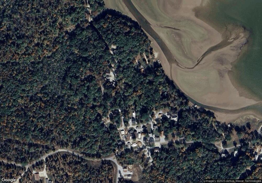
Map
Nearby Homes
- 1124 Lick Creek Boat Dock Loop
- lot 48 Berlin Rd
- 879 Birdsong Ln
- 00 Brodies Landing Rd
- 000 Brodies Landing
- 0 River Spring Rd
- 2642 Brodies Landing Rd
- 3175 Bunches Chapel Rd
- 95 Pats Dr
- 0 Oak Park Dr Unit RTC2438192
- 340 Oak Park Dr
- 590 Oak Park Dr
- 229 Bill Perry Dr
- 616 Old Sh 69
- 0 Lakeshore Dr
- 347 Lakeshore Dr
- 155 Lakeshore Dr
- 1124 Woodlawn Shores Rd
- 0 Brodies Landing Rd Unit RTC2772383
- 0 Cedar Ln
- 38 Deaton Ln
- 224 Maxine Nelson Rd
- 220 Maxine Nelson Rd
- 207 Maxine Nelson Rd
- 56 Deaton Ln
- 22 Omega Ln
- 320 Maxine Nelson Rd
- 56 Omega Ln
- 158 Maxine Nelson Rd
- 376 Maxine Nelson Rd
- 368 Maxine Nelson Rd
- 130 Maxine Nelson Rd
- 195 Maxine Nelson Rd
- 392 Maxine Nelson Rd
- 15 Omega Ln
- 106 Maxine Nelson Rd
- 181 Maxine Nelson Rd
- 21 Tom McKinnie Rd
- 19 Tom McKinnie Rd
- 97 Tom McKinnie Rd