Estimated Value: $962,000 - $1,020,000
4
Beds
3
Baths
2,644
Sq Ft
$374/Sq Ft
Est. Value
About This Home
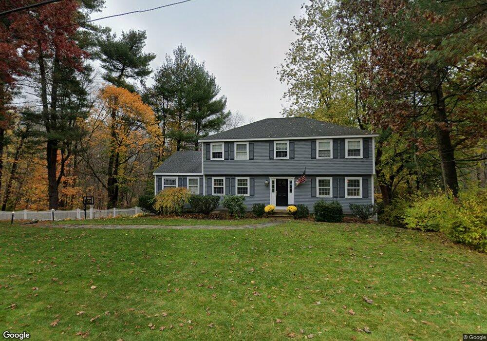
This home is located at 30 Duggan Rd, Acton, MA 01720 and is currently estimated at $989,000, approximately $374 per square foot. 30 Duggan Rd is a home located in Middlesex County with nearby schools including Acton-Boxborough Regional High School and The Imago School.
Ownership History
Date
Name
Owned For
Owner Type
Purchase Details
Closed on
Jun 15, 2000
Sold by
Ocallaghan Dennis M and Ocallaghan Mary J
Bought by
Ahern Richard B and Ahern Linda B
Current Estimated Value
Home Financials for this Owner
Home Financials are based on the most recent Mortgage that was taken out on this home.
Original Mortgage
$355,000
Interest Rate
8.24%
Mortgage Type
Purchase Money Mortgage
Purchase Details
Closed on
Nov 28, 1988
Sold by
Mulholland Joseph
Bought by
Ocallaghan Dennis M
Create a Home Valuation Report for This Property
The Home Valuation Report is an in-depth analysis detailing your home's value as well as a comparison with similar homes in the area
Home Values in the Area
Average Home Value in this Area
Purchase History
| Date | Buyer | Sale Price | Title Company |
|---|---|---|---|
| Ahern Richard B | $445,000 | -- | |
| Ocallaghan Dennis M | $340,000 | -- |
Source: Public Records
Mortgage History
| Date | Status | Borrower | Loan Amount |
|---|---|---|---|
| Open | Ocallaghan Dennis M | $404,000 | |
| Closed | Ocallaghan Dennis M | $395,000 | |
| Closed | Ocallaghan Dennis M | $355,000 |
Source: Public Records
Tax History Compared to Growth
Tax History
| Year | Tax Paid | Tax Assessment Tax Assessment Total Assessment is a certain percentage of the fair market value that is determined by local assessors to be the total taxable value of land and additions on the property. | Land | Improvement |
|---|---|---|---|---|
| 2025 | $15,478 | $902,500 | $346,900 | $555,600 |
| 2024 | $14,706 | $882,200 | $346,900 | $535,300 |
| 2023 | $14,350 | $817,200 | $315,500 | $501,700 |
| 2022 | $13,574 | $697,900 | $274,500 | $423,400 |
| 2021 | $13,247 | $654,800 | $253,800 | $401,000 |
| 2020 | $12,491 | $649,200 | $253,800 | $395,400 |
| 2019 | $12,168 | $628,200 | $253,800 | $374,400 |
| 2018 | $11,948 | $616,500 | $253,800 | $362,700 |
| 2017 | $11,638 | $610,600 | $253,800 | $356,800 |
| 2016 | $11,401 | $592,900 | $253,800 | $339,100 |
| 2015 | $10,906 | $572,500 | $253,800 | $318,700 |
| 2014 | $10,684 | $549,300 | $253,800 | $295,500 |
Source: Public Records
Map
Nearby Homes
- 3 Heather Hill Rd
- 12 Olde Lantern Rd
- 90 Willow St Unit 1
- 92 Willow St Unit 3
- 92 Willow St Unit 2
- 4,7,8 Crestwood Ln
- 89 Windsor Ave
- 220 Red Acre Rd
- 285 Central St Unit 285
- 96 Cedarwood Rd
- 207 Boxboro Rd
- 68 Macintosh Ln
- 134 Russet Ln
- 30-6 Taylor Rd
- 19 Railroad St Unit C2
- 85 Red Acre Rd
- 5 Elm St Unit 1
- 169 Main St
- 9 Elm St Unit 1
- 131 Main St