Estimated Value: $561,000 - $838,000
5
Beds
5
Baths
4,027
Sq Ft
$177/Sq Ft
Est. Value
About This Home
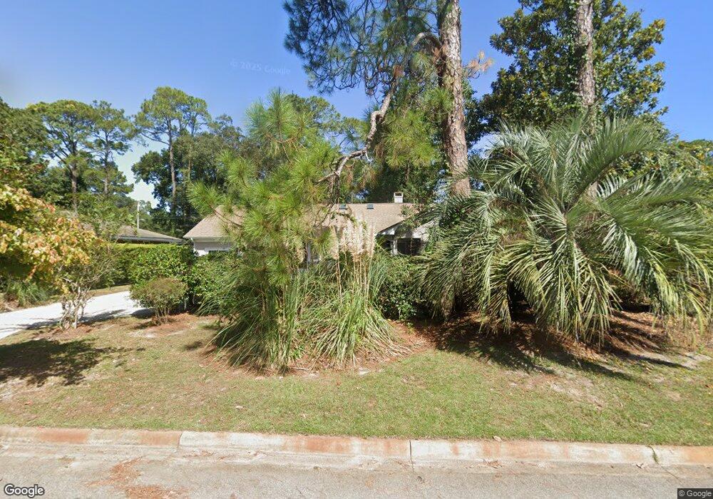
This home is located at 30 E 67th St, Savannah, GA 31405 and is currently estimated at $711,950, approximately $176 per square foot. 30 E 67th St is a home located in Chatham County with nearby schools including Jacob G. Smith Elementary School, Myers Middle School, and Beach High School.
Ownership History
Date
Name
Owned For
Owner Type
Purchase Details
Closed on
Jul 20, 2023
Sold by
Burns Brenda
Bought by
Brenda S Burns Trust and Burns Brenda S Trust
Current Estimated Value
Purchase Details
Closed on
Mar 13, 2015
Sold by
Burns Thomas Joseph
Bought by
Burns Thomas J and Burns Brenda S
Purchase Details
Closed on
Feb 15, 2012
Sold by
Burns Maria P
Bought by
Burns Thomas Joseph
Create a Home Valuation Report for This Property
The Home Valuation Report is an in-depth analysis detailing your home's value as well as a comparison with similar homes in the area
Home Values in the Area
Average Home Value in this Area
Purchase History
| Date | Buyer | Sale Price | Title Company |
|---|---|---|---|
| Brenda S Burns Trust | -- | -- | |
| Burns Thomas J Trust | -- | -- | |
| Burns Thomas J | -- | -- | |
| Burns Thomas Joseph | -- | -- | |
| Burns Thomas Joseph | -- | -- |
Source: Public Records
Tax History
| Year | Tax Paid | Tax Assessment Tax Assessment Total Assessment is a certain percentage of the fair market value that is determined by local assessors to be the total taxable value of land and additions on the property. | Land | Improvement |
|---|---|---|---|---|
| 2025 | $3,673 | $220,280 | $38,400 | $181,880 |
| 2024 | $30 | $224,440 | $38,400 | $186,040 |
| 2023 | $1,650 | $208,120 | $34,800 | $173,320 |
| 2022 | $3,358 | $175,760 | $18,000 | $157,760 |
| 2021 | $4,170 | $153,320 | $18,000 | $135,320 |
| 2020 | $3,367 | $152,680 | $18,000 | $134,680 |
| 2019 | $5,035 | $160,240 | $18,000 | $142,240 |
| 2018 | $3,321 | $145,240 | $18,000 | $127,240 |
| 2017 | $2,995 | $136,040 | $18,000 | $118,040 |
| 2016 | $2,934 | $121,720 | $18,000 | $103,720 |
| 2015 | $4,375 | $123,560 | $18,040 | $105,520 |
| 2014 | -- | $125,720 | $0 | $0 |
Source: Public Records
Map
Nearby Homes
- 20 E 67th St
- 31 E 66th St
- 130 Brandywine Rd
- 5114 Abercorn St
- 23 E 65th St
- 120 E 66th St
- 116 E 66th St
- 5205 Habersham St
- 3 Berkley Place
- 114 E Derenne Ave
- 110 E Derenne Ave
- 27 E 63rd St
- 112 E Derenne Ave
- 0 Highway 21 Unit SA346704
- 0 Highway 21 Unit 10607358
- 218 E 65th St
- 202 E 64th St
- 4701 Cumberland Dr
- 135 E Derenne Ave
- 223 E 64th St
- 30 E 67th St Unit A
- 26 E 67th St
- 40 E 67th St
- 22 E 67th St
- 5109 Abercorn St Unit 4
- 5109 Abercorn St Unit 2
- 5109 Abercorn St
- 45 E 66th St
- 53 E 66th St
- 43 E 66th St
- 29 E 67th St
- 29 E 67th St Unit 4
- 29 E 67th St Unit 3
- 35 E 66th St
- 19 E 67th St
- 15 E 67th St
- 5102 Abercorn St
- 5104 Abercorn St
- 5106 Abercorn St
- 16 E 67th St
Your Personal Tour Guide
Ask me questions while you tour the home.